The Arctic Archipelago, also known as the Canadian Arctic Archipelago, is an archipelago lying to the north of the Canadian continental mainland, excluding Greenland and Iceland.
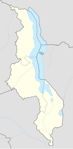
Mponela is a town in Dowa District in the Central Region of Malawi.
Salima is a township in the Central Region of Malawi and the capital of the Salima District.

The Central Region of Malawi, population 7,523,340 (2018), covers an area of 35,592 km². Its capital city is Lilongwe, which is also the national capital. The region has an outlet on Lake Malawi and borders neighbouring countries Zambia and Mozambique. The Chewa people make up the majority of the population today.

Dowa is a district in the Central Region of Malawi. The capital is Dowa.
Likoma District is the least populous district of Malawi, which consists of two separate exclaves of Malawi situated within Mozambican waters in Lake Malawi. It consists of two main islands, Likoma and Chizumulu. It is a district in the Northern Region of Malawi. The capital is Likoma.

Machinga is a district in the Southern Region of Malawi. The capital is Machinga. The district covers an area of 3,771 km.² and has a population of 369,614.
Phalombe is a district in the Southern Region of Malawi. The capital is Phalombe. The district covers an area of 1,394 km.² and has a population of 231,990.
Ntcheu is a town located in the Central Region of Malawi. It is the administrative capital of Ntcheu District. Ntcheu is known for its produce, including Irish potatoes.
Wancii, also spelled Wancii in Oromo, is a woreda in the central Oromia Region of Ethiopia. It is located in the Southwest Shewa Zone; bordered on the southwest by Amaya, on the north by Western Shawa Zone, and on the southeast by Waliso and Goro District. The administrative centre of Wanchi is Chitu. Dariyan and Haroo-Wancii have emerged as rapidly growing rural towns. Specially Haroo-Wancii town, which is located at a distance of 5 km from Wancii Crater lake, is attracting the attention of many investors and booming.

Macanga is a district situated in the north part of Tete Province in the central region of Mozambique. Its administrative center is the town of Furancungo. The district is located in the north of the province, and borders with Dedza District and Lilongwe District of Malawi in the north, Angónia District in the east, Tsangano District in the southeast, Chiuta District in the south, and with Chifunde District in the west. The area of the district is 6,999 square kilometres (2,702 sq mi). It has a population of 112,551 as of 2007.

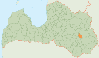
Viļāni Municipality is a former municipality in Latgale, Latvia. The municipality was formed in 2009 by merging Dekšāres Parish, Sokolki Parish, Viļāni Parish and Viļāni town; the administrative centre being Viļāni. The population as of 2020 was 5,417.
Dowa or dōwa may refer to:
New Finance Bank (NFB), whose complete name is New Finance Bank Malawi Limited is a commercial bank in Malawi. It is one of the commercial banks licensed by the Reserve Bank of Malawi, the central bank and national banking regulator.
The Misuku Hills are a mountain range in Malawi's Northern Region.


