Related Research Articles

The Little Kanawha River is a tributary of the Ohio River, 169 mi (269 km) long, in western West Virginia in the United States. Via the Ohio, it is part of the watershed of the Mississippi River, draining an area of 2,320 mi2 (6,009 km2) on the unglaciated portion of the Allegheny Plateau. It served as an important commercial water route in the early history of West Virginia, particularly in the logging and petroleum industries.
Liberty is an unincorporated community in Montgomery County, in the U.S. state of Ohio.
Wolf Creek is a tributary of the Muskingum River in the U.S. state of Ohio. It consists of two forks: the muddy fork, which begins toward Barlow, and the Clear Fork, which begins toward Chesterhill. The Clear Fork has interesting whitewater with a ledge called Chipmunk Falls and several interesting rapids which could be classified as up to class IV in difficulty. Wolf Creek also is the site of the Wolf Creek Recreation Center which once was the site of a 152-acre (0.62 km2) lake but it was destroyed by a flash flood in 1950. Now this area located near McConnelsville is mostly used for hunting, fishing and hiking. The Clear Fork and Muddy Fork of Wolf Creek merge and enter the Muskingum River near Waterford.
Barlow is an unincorporated community in western Barlow Township, Washington County, Ohio, United States. Although it is unincorporated, it has a ZIP code 45712. It lies at the intersection of State Routes 339 and 550 near the South Fork of Wolf Creek, which meets the Muskingum River at Waterford to the north.

Harriettsville is an unincorporated community in western Elk Township, Noble County, Ohio, United States. It lies along State Route 145 at its intersection with County Road 46. The East Fork of Duck Creek, a subsidiary of the Ohio River that meets the river near Marietta, runs along State Route 145 past the community. It lies 8 miles (13 km) northeast of Lower Salem by road, and 13 miles (21 km) directly southeast of Caldwell, the county seat of Noble County.

Birmingham is an unincorporated community in southeastern Monroe Township, Guernsey County, Ohio, United States. It lies at the intersection of Beal, Birmingham, and Peoli Roads, 3+3⁄4 miles (6.0 km) south of Peoli, 7 miles east-northeast of Kimbolton, and 13 miles (21 km) northeast of central Cambridge, the county seat of Guernsey County. Nearby streams flow southward into Salt Fork Lake, which is included in Salt Fork State Park.
Moores Valley is an unincorporated community in Marengo County, Alabama, United States.
Burtner is an unincorporated community in Washington County, Maryland, United States. Search Well was listed on the National Register of Historic Places in 1983.
Simeon is an unincorporated community in Cherry County, Nebraska, United States.
Buena Vista is an unincorporated community in Hocking County, in the U.S. state of Ohio.
Buena Vista is an unincorporated community in Scioto County, in the U.S. state of Ohio.
Snow Hill is an unincorporated community in Clinton County, in the U.S. state of Ohio.
Archers Fork is a stream located entirely within Washington County, Ohio. It is a tributary of the Little Muskingum River, which it enters near the community of Dart.
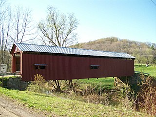
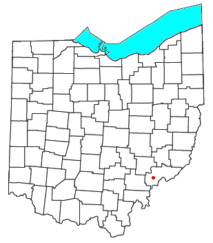
Archers Fork is an unincorporated community in Washington County, in the U.S. state of Ohio.
Pratts Fork is an unincorporated community in Athens County, in the U.S. state of Ohio.
Moores Fork is an unincorporated community in Clermont County, in the U.S. state of Ohio.
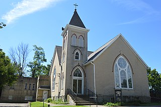
Bethlehem is an unincorporated community in Richland County, in the U.S. state of Ohio.
Guernsey is an unincorporated community in Wheeling Township, Guernsey County, in the U.S. state of Ohio.
Cady Run is a stream in the U.S. state of Ohio. It is a tributary to Archers Fork.
Coal Run is a stream in the U.S. state of Ohio. It is a tributary to Archers Fork.
References
- ↑ U.S. Geological Survey Geographic Names Information System: Dyes Fork
- ↑ History of Noble County, Ohio. L. H. Watkins. 1887. p. 420.
39°37′48″N81°43′12″W / 39.63000°N 81.72000°W
| | This article related to a river in Ohio is a stub. You can help Wikipedia by expanding it. |