Lower Austria is one of the nine states of Austria, located in the northeastern corner of the country. Since 1986, the capital of Lower Austria has been Sankt Pölten, replacing Vienna which became a separate state in 1921. With a land area of 19,186 km2 (7,408 sq mi) and a population of 1.685 million people, Lower Austria is the second most populous federal state. Other large cities are Amstetten, Krems an der Donau and Wiener Neustadt.

Google Maps is a web mapping product developed at Google by Lars Rasmussen and Jens Rasmussen. It offers satellite imagery, aerial photography, street maps, 360° interactive panoramic views of streets, real-time traffic conditions, and route planning for traveling by foot, car, air and public transportation. In 2020, Google Maps was used by over 1 billion people every month around the world.
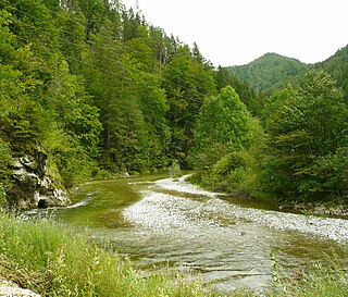
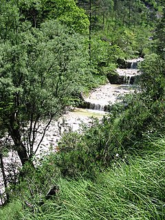
The Mürz is a river of Styria, Austria, with a length of 84 km (52 mi).

The Mariazell Railway is an electrically operated narrow-gauge railway which connects the Lower Austrian capital of Sankt Pölten with the Styrian pilgrimage centre of Mariazell. The line was opened in stages between 1898 and 1907, and had a, now closed, branch to Wieselburg an der Erlauf. The railway is operated by NÖVOG, which is owned by the provincial government, and is a part of the Verkehrsverbund Niederösterreich-Burgenland.
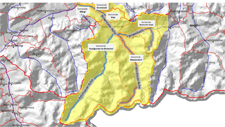
Bezirk Scheibbs is a district of the state of Lower Austria in Austria.

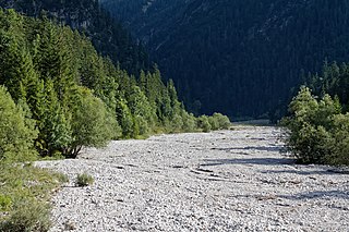
The Steyr is a river in Upper Austria.

The Meng is a river of Voralberg, Austria.

The Alfenz is a river of Voralberg, Austria.
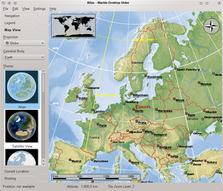
Marble is a virtual globe application which allows the user to choose among the Earth, the Moon, Venus, Mars and other planets to display as a 3-D model. It is free software under the terms of the GNU LGPL, developed by KDE for use on personal computers and smart phones. It is written in C++ and uses Qt.

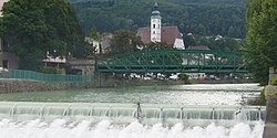
Erlauf is a municipality in the district of Melk in the Austrian state of Lower Austria.
Golling an der Erlauf is a town in the district of Melk in the Austrian state of Lower Austria.

Google Street View is a technology featured in Google Maps and Google Earth that provides interactive panoramas from positions along many streets in the world. It was launched in 2007 in several cities in the United States, and has since expanded to include cities and rural areas worldwide. Streets with Street View imagery available are shown as blue lines on Google Maps.
Purgstall an der Erlauf is a municipality in the district of Scheibbs in the Austrian state of Lower Austria.
The Vöckla is a river in Upper Austria.

Berchtesgadener Ache is a river of Bavaria, Germany and of Salzburg, Austria. It is formed at the confluence of the Ramsauer Ache and the Königsseer Ache in Berchtesgaden. It flows into the Salzach near Anif.
Weißbach is a river of Bavaria, Germany and Salzburg, Austria. Its source lies at the northern slope of the Dreisesselberg which is one of the Latten Mountains. Part of its course forms a section of the Austria–Germany border. It discharges in Weißbach, a district of Bad Reichenhall, into the Grabenbach, which itself discharges into the Saalach.
The Neualmbach, also called Neualpbach, is a river which lies in its entire course on the border between Bavaria, Germany and Tyrol, Austria, in the Ammergau Alps.
Google Play Services is a proprietary background service and API package for Android devices from Google. When it was introduced in 2012, it provided access to the Google+ APIs and OAuth 2.0. It expanded to cover a variety of Google services, allowing applications to communicate with the services through common means.

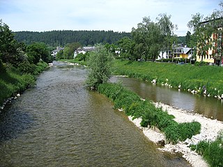
Pitten is a river in Lower Austria.
Kelchsauer Ache is a river of Tyrol, Austria.