This is a list of the extreme points of the British Isles , the points that are farther north, south, east, west, higher or lower than any other location.

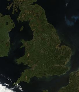
The British Isles are a group of islands in the North Atlantic off the north-western coast of continental Europe that consist of the islands of Great Britain, Ireland, the Isle of Man, the Hebrides and over six thousand smaller isles. They have a total area of about 315,159 km2 and a combined population of almost 72 million, and include two sovereign states, the Republic of Ireland, and the United Kingdom of Great Britain and Northern Ireland. The islands of Alderney, Jersey, Guernsey, and Sark, and their neighbouring smaller islands, are sometimes also taken to be part of the British Isles, even though, as islands off the coast of France, they do not form part of the archipelago.
- Northernmost Point — Out Stack, Shetland Islands, Scotland
- Northernmost Settlement — Skaw, Unst, Shetland Islands, Scotland
- Southernmost Point — Les Minquiers Reef, Jersey, Channel Islands
- Southernmost Settlement — Saint Clement, Jersey, Channel Islands
- Westernmost Point — Rockall, Harris, Scotland
- Westernmost Settlement — Dunquin, County Kerry, Ireland
- Easternmost Point — Lowestoft Ness, Suffolk, England
- Easternmost Settlement — Lowestoft, Suffolk, England
- Most Inland Point — Church Flatts Farm, Derbyshire, England
- Most Inland Settlement — Coton in the Elms, Derbyshire, England, at 70 miles (113 km) from the nearest coast.
- Highest Point — Ben Nevis, Highland, Scotland at 1,345 m (4,413 ft) above sea level.
- Highest Settlement — Flash, Staffordshire, England at 463 m (1,519 ft) above sea level.
- Lowest Point — North Slob, County Wexford, Ireland at 3 m (10 ft) below sea level.

Out Stack or Ootsta in Shetland, Scotland, is the northernmost point of the British Isles and has been described as "the full stop at the end of Britain".

Scotland is a country that is part of the United Kingdom. Sharing a border with England to the southeast, Scotland is otherwise surrounded by the Atlantic Ocean to the north and west, by the North Sea to the northeast and by the Irish Sea to the south. In addition to the mainland, situated on the northern third of the island of Great Britain, Scotland has over 790 islands, including the Northern Isles and the Hebrides.

Skaw is a tiny settlement in the Scottish archipelago of Shetland, located on the island of Unst. It is located north of Haroldswick on a peninsula in the northeast corner of the island, and is the most northerly settlement in the United Kingdom. The burn (stream) of Skaw flows from the uplands to the west through the constellation of small crofts that make up Skaw, and then east into the Wick of Skaw, a bay of the North Sea. A sheltered sandy beach lines the coast of the Wick of Skaw.


