
Interstate 295 (I-295), an auxiliary route of I-95, is a beltway around central Jacksonville, Florida, United States. The 61.04-mile-long (98.23 km) beltway consists of two segments, the West Beltway and the East Beltway, with I-95 serving as the dividing line between the two. The entire highway carries a hidden designation as SR 9A by the Florida Department of Transportation (FDOT). The West Beltway was constructed in the 1970s, with the East Beltway being built from the 1980s to the 2000s.

Interstate 195 (I-195) is a 4.42-mile-long (7.11 km) auxiliary Interstate Highway connecting I-95, its parent route, in the west with Miami Beach in the east. It crosses Biscayne Bay by traveling over the Julia Tuttle Causeway. The causeway is named after Miami founder Julia Tuttle.

Interstate 595 (I-595), also known as the Port Everglades Expressway and unsigned FloridaState Road 862, is a 12.86-mile (20.70 km) auxiliary Interstate Highway that connects I-75 and Alligator Alley in the west with Florida's Turnpike, I-95, Fort Lauderdale–Hollywood International Airport, U.S. Highway 1, and SR A1A before terminating at Port Everglades in the east. The Interstate route was conceived in 1969 and planned as an Interstate starting in 1974. Construction began in 1984, with the expressway opening in stages in the late 1980s, with completion in 1991. The reversible tolled express lanes opened in 2014.
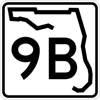
State Road 9B (SR 9B) is a 5.5-mile-long (8.9 km) state highway on the south side of Jacksonville, Florida. It is a freeway for its entire length. Its southern terminus is at County Road 2209 (CR 2209) in St. Johns County. Its northern terminus is at the southeast-most point on Interstate 295 (I-295). The highway is planned to be redesignated as Interstate 795 (I-795) when the designation is approved by the Federal Highway Administration (FHWA) and the American Association of State Highway and Transportation Officials (AASHTO).

Florida State Road 9 (SR 9) is a state road in the U.S. state of Florida. While SR 9 is mainly used as a state designation for Interstate 95 in Florida from the Golden Glades Interchange in Miami Gardens to the Georgia border, a signed SR 9, which is locally known in the Miami area as West 27th Avenue, Unity Boulevard, and historically Grapeland Boulevard, extends 13 miles (21 km) from the Coconut Grove section of Miami to the Golden Glades Interchange. The segment of I-95 south of the Golden Glades Interchange carries the designation of State Road 9A.
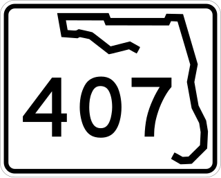
State Road 407, known locally as Challenger Memorial Parkway, is a 6.8-mile (10.9 km) spur from SR 528 that links to SR 405. By utilizing the SR 407 to SR 405 route, travelers from Central Florida can access the Kennedy Space Center and the city of Titusville.

State Road 112 (SR 112) is a 9.9-mile-long (15.9 km) east–west state highway connecting Miami International Airport in Miami to Miami Beach in the U.S. state of Florida. Between the airport and Interstate 95, it is locally known as the Airport Expressway, and is a controlled-access toll road between SR 9 and I-95. Between I-95 and Alton Road (SR 907A) in Miami Beach, SR 112 is signed only as Interstate 195 as it crosses Biscayne Bay by way of the Julia Tuttle Causeway. Between I-195 and its eastern terminus at Collins Avenue (SR A1A), the SR 112 signs are present but infrequent, and the road is locally maintained as Arthur Godfrey Road.

The Dolphin East–West Expressway is a 15.4-mile (24.8 km) freeway, with the westernmost 14 miles (23 km) as an all-electronic tollway signed as State Road 836, and the easternmost 1.292 miles (2.079 km) between Interstate 95 (I-95) and SR A1A cosigned as Interstate 395 (I-395).

State Road 105 (SR 105) is a 36.818-mile-long (59.253 km) north-south state highway in northeastern Jacksonville, Florida. It travels from an interchange with Interstate 95 (I-95) just north of downtown eastward along the north bank of the St. Johns River to an intersection with SR A1A, at the Mayport Ferry, and then along SR A1A to the end of SR 200 in Fernandina Beach.

The Jacksonville Metropolitan Area, also called the First Coast, Metro Jacksonville, or Northeast Florida, is the metropolitan area centered on the principal city of Jacksonville, Florida and including the First Coast of North Florida. As of the 2020 United States census, the total population was 1,605,848. The Jacksonville–Kingsland–Palatka, FL–GA Combined Statistical Area (CSA) had a population of 1,733,937 in 2020 and was the 34th largest CSA in the United States. The Jacksonville metropolitan area is the 40th largest in the country and the fourth largest in the State of Florida, behind the Miami, Tampa, and Orlando metropolitan areas.

Interstate 95 (I-95) is the main Interstate Highway of Florida's Atlantic Coast. It begins at a partial interchange with US Highway 1 (US 1) just south of downtown Miami and heads north through Jacksonville, and to the Georgia state line at the St. Marys River near Becker. The route also passes through the cities of Fort Lauderdale, West Palm Beach, Port St. Lucie, Titusville, and Daytona Beach.
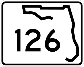
State Road 126 (SR 126) is a 2.373-mile-long (3.819 km) state highway in southern Jacksonville, in the U.S. state of Florida, traveling along Emerson Street. It travels from SR 13 east across U.S. Route 1 and Interstate 95. East of I-95, SR 126 splits from Emerson Street, turning northeast on the beginning of the Emerson Expressway. SR 126 ends where the Emerson Expressway becomes a divided freeway. (Emerson Street continues east as a city street to Spring Glen Road just south of US 90.
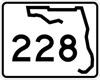
State Road 228 (SR 228) is a 32.532-mile-long (52.355 km) state highway in the northeastern part of the U.S. state of Florida. It exists in two distinct sections, separated by both Baker County Road 228 and Duval CR 228, which are former segments of SR 228.
State Road 115 is a state highway in the U.S. state of Florida.
Congress Avenue is a 28.9-mile (46.51 km) long north–south arterial road serving central Palm Beach County, Florida. A 4.8-mile (7.72 km) section from Palm Springs to Palm Beach International Airport encompasses Florida State Road 807 (SR 807), while the remaining southern section is officially known––but seldom referred to––as County Road 807. In addition, a segment north of the airport exists without state or county designation.
State Road 152 (SR 152), locally known as Baymeadows Road, is a 6.4-mile (10.3 km) state highway in Jacksonville, within the northeastern part of the U.S. state of Florida. It is a main east-west road in Southside Jacksonville, extending from an intersection with SR 13 in the west to an interchange with I-295 in the east.

U.S. Highway 23 (US 23) is a United States Numbered Highway that runs from Jacksonville, Florida, to Mackinaw City, Michigan. In the U.S. state of Florida, US 23 is concurrent with US 1 south of Alma, Georgia, except in Downtown Jacksonville. US 23 is also concurrent with US 301 between Homeland, Georgia, and Callahan. In the Jacksonville area, US 23 is the unsigned State Road 139 (SR 139), which also continues east from the south end of US 23 along SR 10A to SR 115 near the Mathews Bridge.
Transportation in Florida includes a variety of options, including Interstate Highways, U.S. Highways, and Florida State Roads; Amtrak and commuter rail services; airports, public transportation, and sea ports, in a number of the state's counties and regions.
State Road 104 (SR 104), locally known as Dunn Avenue, is a 7.6-mile-long (12.2 km) state highway that travels through the northern part of Jacksonville in the northeastern part of the U.S. state of Florida. It connects US 1/US 23 with US 17.

State Road 243, locally known as International Airport Boulevard, is a 2.255-mile-long (3.629 km) state road in the northern part of Jacksonville, Florida. It runs from Interstate 295 (I-295) at Exit 33 to Interstate 95 (I-95) at Exit 366. The road's name comes from the fact that its northern terminus was originally at the entrance to Jacksonville International Airport.

