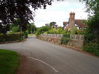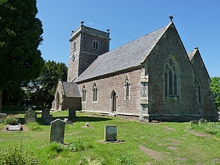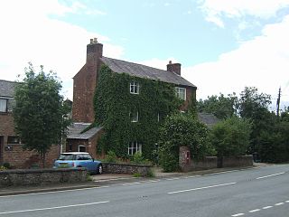
Shropshire is a landlocked historic county in the West Midlands region of England bordering Wales. Shropshire borders with the English counties of Cheshire to the north, Staffordshire to the east, Worcestershire to the southeast, and Herefordshire to the south, and bordering Wales with the counties of Wrexham and Powys to the west. A unitary authority of the same name was created in 2009, taking over from the previous county council and five district councils, now governed by Shropshire Council. The borough of Telford and Wrekin has been a separate unitary authority since 1998, but remains part of the ceremonial county.

Church Stretton is a market town and civil parish in Shropshire, England, 13 miles (21 km) south of Shrewsbury and 15 miles (24 km) north of Ludlow. The population in 2011 was 4,671.

Shrewsbury and Atcham was a local government district with borough status in Shropshire, England, between 1974 and 2009.

Snailbeach District Railways was a British narrow gauge railway in Shropshire. It was built to carry lead ore from mines in the Stiperstones to Pontesbury where the ore was transshipped to the Great Western Railway's Minsterley branch line. Coal from the Pontesford coal mines travelled in the opposite direction. The line ended at Snailbeach, the location of Shropshire's largest and richest lead mine, though there had been a plan to extend it further, which would have brought it closer to more lead mines.

Pontesbury is a village and civil parish in Shropshire, and is approximately eight miles southwest of Shrewsbury. In the 2011 census, the village had a population of 1,873 and the parish had a population of 3,227. The village of Minsterley is just over a mile further southwest. The A488 road runs through the village, on its way from Shrewsbury to Bishop's Castle. The Rea Brook flows close by to the north with the village itself nestling on the northern edge of the Shropshire Hills AONB. Shropshire County Council in their current Place Plan detail the development strategy and refer to Pontesbury and neighbouring Minsterley as towns.

Minsterley is a village and civil parish in Shropshire, England. In the 2011 census, its population was 1,777. Minsterley lies one mile south-west of Pontesbury and 10 miles south-west of Shrewsbury. East from Minsterley along the A488, is the larger village of Pontesbury and to its south the hill range, the Stiperstones. The Rea Brook flows nearby and the smaller Minsterley Brook flows through the centre of the village.

Longden is a village and civil parish in Shropshire, England. It is located 5 miles (8 km) southwest of Shrewsbury.

Bitterley is a village and civil parish in Shropshire, England. According to the 2001 census the parish had a population of 802, increasing to 902 at the 2011 Census. The village is about 4 miles (6.4 km) east of Ludlow on the western slopes of Titterstone Clee Hill. Bitterley is the location for Bitterley Court about 0.62 miles (1.00 km) east of the modern village. Nearby to the east, is the small hamlet of Bedlam.

Cruckton is a small village in Shropshire, England. Cruckton is situated approximately five miles from Shrewsbury town centre, off the B4386 road to Montgomery, Powys. The postcode begins SY5. It is within the civil parish of Pontesbury and the Shrewsbury and Atcham parliamentary constituency.

Chirbury is a village and former civil parish, now in the parish of Chirbury with Brompton, in the Shropshire district, in west Shropshire, England. It is situated in the Vale of Montgomery, close to the Wales–England border, which is to its north, west and south. The A490 and B4386 routes cross at Chirbury.

Plealey is a small village in Shropshire, England. It is located between Pontesford and Longden.

Hanwood is a large village in Shropshire, England.

Cruckmeole is a small hamlet in Shropshire, England. It is located on the A488, where a lane which connects Cruckmeole to the B4386 crossroads at Cruckton forms a three way junction near to Hanwood. It is within the civil parish of Pontesbury.

Malehurst is a hamlet in Shropshire, England between the large villages of Pontesbury and Minsterley and north of the small village of Asterley. It is within the civil parish of Pontesbury.

Leighton and Eaton Constantine is a civil parish in Shropshire, England. It consists of the village of Leighton, together with the smaller villages or hamlets of Eaton Constantine, Upper Longwood and Garmston.

Asterley is a village in Shropshire, England. Its name, derived from Old English, means "the eastern clearing in the forest".
National Cycle Network Route 44, part of the National Cycle Network, connects Shrewsbury, Shropshire with Cinderford, Gloucestershire. The part of the route from Shrewsbury to Bromfield is signed - the remainder of the route is currently unsigned.

Church Pulverbatch is a small village and civil parish in central Shropshire, England. The population of the parish was 344 at the time of the 2001 census, increasing to 361 at the 2011 Census.

Nox is a hamlet in Shropshire, England, around a staggered junction on the B4386 road between the small villages of Cruckton and Yockleton, and south of Ford.
Pontesbury is a civil parish in Shropshire, England. It contains 93 listed buildings that are recorded in the National Heritage List for England. Of these, five are listed at Grade II*, the middle of the three grades, and the others are at Grade II, the lowest grade. The parish is to the southwest of Shrewsbury. It contains a number of villages and smaller settlements, including Pontesbury, Pontesford, Plealey, Asterley, Cruckton, Cruckmeole, Arscott, Malehurst, and Habberley, and is otherwise rural. Most of the listed buildings are houses, cottages, farm houses and farm buildings, a high proportion of which are timber framed, or have timber framed cores, and the earliest of these have cruck construction. The other listed buildings include two small country houses, churches and chapels, items in the churchyards, and public houses.


