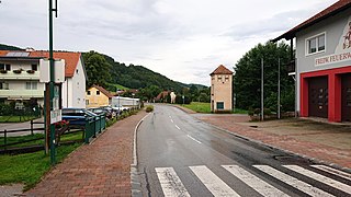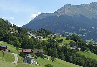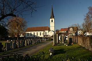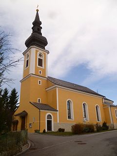
Otterthal is a municipality in the Industrieviertel of Lower Austria, Austria. 61.72 percent of the municipality is forested. There are 25 agricultural companies. 266 persons are employed. The activity rate was 48.31%.

Bartholomäberg is a municipality and a village in the district of Bludenz in the Austrian state of Vorarlberg.

Bildstein is a municipality in the district of Bregenz in the Austrian state of Vorarlberg.

Ober-Grafendorf is a municipality in the district of Sankt Pölten-Land in the Austrian state of Lower Austria.

Bad Erlach is a municipality in the district of Wiener Neustadt-Land in the Austrian state of Lower Austria.

Hohe Wand is a municipality in the district of Wiener Neustadt-Land in the Austrian state of Lower Austria. In this municipality there are four villages: Stollhof, Maiersdorf, Gaaden, and Netting.

Bludesch is a municipality in the district of Bludenz in the Austrian state of Vorarlberg.

Dalaas is a municipality in the district of Bludenz in the Austrian state of Vorarlberg.

Lorüns is a municipality in the district of Bludenz in the Austrian state of Vorarlberg.

Silbertal is a municipality in the district of Bludenz in the Austrian state of Vorarlberg.

Stallehr is a municipality in the district of Bludenz in the Austrian state of Vorarlberg.

Höchst is a municipality in the district of Bregenz in the Austrian state of Vorarlberg.

Hörbranz is a municipality in the district of Bregenz in the Austrian state of Vorarlberg.

Dünserberg is a municipality in the district of Feldkirch in the Austrian state of Vorarlberg.

Schlins is a municipality in the district of Feldkirch in the Austrian state of Vorarlberg.

Altschwendt is a municipality in the district of Schärding in the Austrian state of Upper Austria.
Weyer is a municipality in the district of Steyr-Land in the Austrian state of Upper Austria.

Frankenmarkt is a municipality in the district of Vöcklabruck in the Austrian state of Upper Austria.

Bad Waltersdorf is a municipality in the district of Hartberg-Fürstenfeld in Styria, Austria.

Sankt Margarethen an der Raab is a municipality in the district of Weiz in the Austrian state of Styria.


