Schaller is a city in Sac County, Iowa, United States. The population was 729 at the time of the 2020 census.
Melvindale is a city in Wayne County of the U.S. state of Michigan. At the 2020 census, the city population was 12,851.
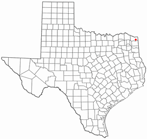
Red Lick is a city in Bowie County, Texas, United States. It is part of the Texarkana metropolis. The population was 1,008 at the 2010 census, and 946 in 2020.
Bayview is a town in Cameron County, Texas, United States. The population was 475 at the 2020 census. It is part of the Brownsville–Harlingen–Raymondville and the Matamoros–Brownsville metropolitan areas.

Lowry Crossing is a city in Collin County, Texas, United States. The population was 1,689 at the 2020 census.

Southmayd is a city in Grayson County, Texas, United States. The population was 978 at the 2020 census. It is part of the Sherman–Denison Metropolitan Statistical Area.

Santa Clara is a city in Guadalupe County, Texas, United States. The population was 778 at the 2020 census, up from 725 at the 2010 census. It is part of the San Antonio Metropolitan Statistical Area.

Hays is a city in Hays County, Texas, United States. The population was 227 at the 2020 census.
Log Cabin is a city in Henderson County, Texas, United States. The population was 678 at the 2020 census.

Murchison is a city in Henderson County, Texas, United States. The population was 516 at the 2020 census.

Cottonwood is a city in Kaufman County, Texas, United States. The population was 181 at the 2020 census.

Oak Ridge is a town in Kaufman County, Texas, United States. The population was 771 at the 2020 census, up from 495 at the 2010 census.
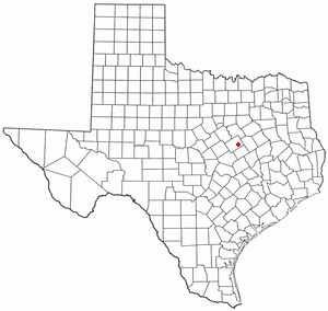
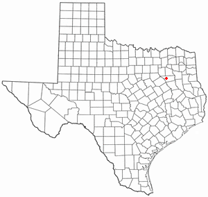
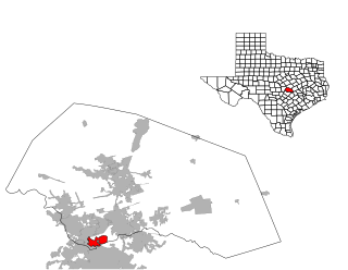
Hallsburg is a city in McLennan County, Texas, United States. The population was 419 at the 2020 census. It is part of the Waco Metropolitan Statistical Area.

Leroy is a city in McLennan County, Texas, United States. The population was 354 at the 2020 census. It is part of the Waco Metropolitan Statistical Area.
Angus is a city in Navarro County, Texas, United States. The population was 444 at the 2020 census.

Gary City is a town in Panola County, Texas, United States. The population was 335 as of the 2020 census.

New Chapel Hill is a city in Smith County, Texas, United States. The population was 620 at the 2020 census. It is part of the Tyler, Texas Metropolitan Statistical Area.

Edom is a city in Van Zandt County, Texas, United States. The population was 339 at the 2020 census.

Summersville is a town in Shannon and Texas counties in the U.S. state of Missouri. The population was 453 at the 2020 census.
Jollyville is a neighborhood in the northern part of Austin, Texas, United States. In 2010 it was a census-designated place (CDP) in Travis and Williamson counties, but has since been annexed by Austin. The population of the CDP was 16,151 at the 2010 census.