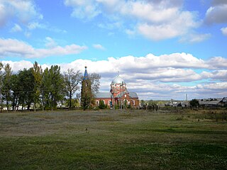
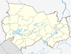
Pyanda is a rural locality in Bereznikovskoye Rural Settlement of Vinogradovsky District, Arkhangelsk Oblast, Russia. The population is 103 as of 2010.
Avdulovo is a rural locality in Voskresensky Selsoviet of Dankovsky District, Lipetsk Oblast, Russia. The population was 150 as of 2010.
Novosergeyevka is a rural locality and the administrative center of Novosergeyevsky Selsoviet of Arkharinsky District, Amur Oblast, Russia. The population was 83 as of 2019. There are 3 streets.
Vostochny is a rural locality and the administrative center of Vostochny Selsoviet of Oktyabrsky District, Amur Oblast, Russia. The population was 1,289 as of 2018. There are 16 streets.
Ushakovo is a rural locality and the administrative center of Ushakovsky Selsoviet of Shimanovsky District, Amur Oblast, Russia. The population was 475 as of 2018. There are 12 streets.
Shidrovo is a rural locality in Shidrovskoye Rural Settlement of Vinogradovsky District, Arkhangelsk Oblast, Russia. The population was 63 as of 2010.
Afonino is a rural locality in Muromtsevskoye Rural Settlement, Sudogodsky District, Vladimir Oblast, Russia. The population was 31 as of 2010.
Bogoslovo is a rural locality in Novoalexandrovskoye Rural Settlement, Suzdalsky District, Vladimir Oblast, Russia. The population was 367 as of 2010. There are 43 streets.
Ovrazhny is a rural locality in Krepinskoye Rural Settlement, Kalachyovsky District, Volgograd Oblast, Russia. The population was 306 as of 2010. There are 9 streets in Ovrazhny.
Tyrly is a rural locality in Kirovskoye Rural Settlement, Sredneakhtubinsky District, Volgograd Oblast, Russia. The population was 41 as of 2010. There are two streets.
Maysky is a rural locality in Kubenskoye Rural Settlement, Vologodsky District, Vologda Oblast, Russia. The population was 2,353 as of 2002. There are 38 streets.
Mynchakovo is a rural locality in Kubenskoye Rural Settlement, Vologodsky District, Vologda Oblast, Russia. The population was 366 as of 2002.
Sindosh is a rural locality in Kubenskoye Rural Settlement, Vologodsky District, Vologda Oblast, Russia. The population was 6 as of 2002.
Rameshki is a rural locality in Krasnopolyanskoye Rural Settlement, Nikolsky District, Vologda Oblast, Russia. The population was 67 as of 2002. There are 3 streets.
Karaychevka is a rural locality and the administrative center of Karaychevskoye Rural Settlement, Buturlinovsky District, Voronezh Oblast, Russia. The population was 860 as of 2010. There are 9 streets. Karaychevka is located 27 km northwest of Buturlinovka by road. Piramidy is the nearest rural locality.

Krasnoye is a rural locality and the administrative center of Krasnyanskoye Rural Settlement, Novokhopyorsky District, Voronezh Oblast, Russia. The population was 2,490 as of 2010. There are 16 streets.
Krasny Liman 2-y is a rural locality in Krasnolimanskoye Rural Settlement, Paninsky District, Voronezh Oblast, Russia. The population was 796 as of 2010. There are 5 streets.
Sirtich is a rural locality in Tabasaransky District, Republic of Dagestan, Russia. Population: 3,871 (2021 Census); 2,596 (2002 Census); 1,413 (1989 Census). There are 24 streets.
Firgil is a rural locality in Tinitsky Selsoviet, Tabasaransky District, Republic of Dagestan, Russia. Population: 396 (2010 Census); 404 (2002 Census); 268 (1989 Census). There are 5 streets.
Nichras is a rural locality in Turagsky Selsoviet, Tabasaransky District, Republic of Dagestan, Russia. Population: 878 (2010 Census); 284 (2002 Census); 729 (1989 Census). There are 5 streets.


