| Kisatchie Bayou | |
|---|---|
 Kisatchie Bayou | |
 Kisatchie Bayou | |
| Location | |
| Country | United States |
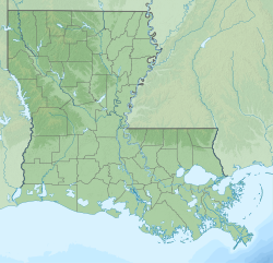
| State | Louisiana |
| Parish | Natchitoches |
| Physical characteristics | |
| Source | Old River (Natchitoches Parish), Bayou Brevelle |
| Mouth | |
• coordinates | 31°35′08″N93°01′20″W / 31.585673°N 93.022336°W |
| Length | 38 miles (61 km) |
Kisatchie Bayou is a series of interconnected, natural waterways totaling over 38 miles in length in Natchitoches Parish, Louisiana, and Sabine Parish, Louisiana. The bayou is a tributary of Old River at Isle Brevelle. The bayou runs through a large portion of Kisatchie National Forest, the only national forest in the State of Louisiana. [1] [2]
Contents
Kisatchie Falls, located on Kisatchie Bayou, is the only Class II rapids in Louisiana. [3]
The Man in the Moon (1991 film) was filmed at Kisatchie Bayou. Several of the swimming scenes with actress Reese Witherspoon were filmed at the bayou and the falls. [4]