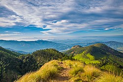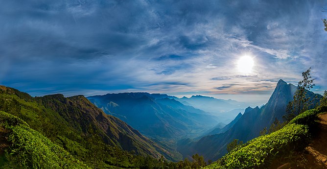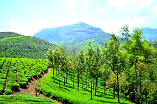
Munnar is a town and hill station in the Idukki district of the southwestern Indian state of Kerala. Munnar is situated at around 1,600 metres (5,200 ft) above mean sea level, in the Western Ghats mountain range. Munnar is also called the "Kashmir of South India" and is a popular honeymoon destination.

Idukki is one of the 14 districts in the Indian state of Kerala. It is the largest district in Kerala and lies amid the Cardamom Hills of Western Ghats in Kerala. Idukki district contains two municipal towns - Kattappana and Thodupuzha, and five taluks.
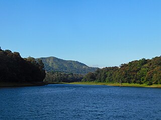
Thekkady(Idukki district) is a town near Periyar National Park, an important tourist attraction in the Kerala state of India. The name Thekkady is derived from the word "thekku" which means teak. Temperatures are lowest in the months of December–January and highest in the months of April–May.

Theni District is one of the 38 districts of Tamil Nadu state in India. Well protected by the scenic hill locks, the district is located besides Madurai district. The town of Theni is the district headquarters. The district is divided into two natural divisions: The hilly areas are constituted by parts of the five taluk's Theni, Bodinayakanur, Periyakulam, Uthamapalayam and Andipatti with thick vegetation and perennial streams from the hills on the western side and Cumbum valley which lies in Uthamapalayam taluk. As of 2011, Theni district had a population of 1,245,899 with a sex ratio of 980 females for every 1,000 males.

Theni is a town and a municipality in Theni district in the Indian state of Tamil Nadu. As of 2011, the town had a population of 94,453. The metro area had the population of 202,100.
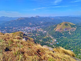
Kattappana is a municipal town in the Sahyadri of Kerala state, India. It is the main urban centre in the high ranges of Idukki district, situated about 2,788.71–2,952.76 feet (850.00–900.00 m) from sea level. It is the second city to become a municipality in Idukki District. It is a major commercial town and flourished with the boost in production of agriculture and spices.

Ramakkalmedu is a hill station and a hamlet in Idukki district in the Indian state of Kerala. The place is noted for its panoramic beauty and numerous windmills.
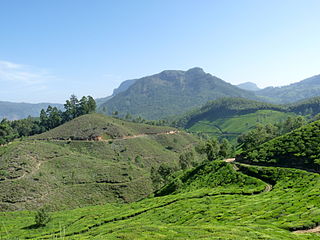
Kannan Devan Hills is a large village located in Devikulam Taluk of Idukki District in the Indian state of Kerala. It is situated near the state border with Tamil Nadu, about 25 kilometres northeast of the district seat Painavu, and 8 kilometres north of the subdistrict seat Devikulam. In 2011, it is home to 55,738 residents.
Sulthankada is a village in the Idukki district of Kerala, India. It is located between Pampupara and Anakkara on Kumily - Munnar highway. This village includes tiny settlements - Chittampara, Keerimukku, Churuli Valavu, Puthumana Medu, Thenganal Kavala, Thaloda, etc. mostly covering cardamom and pepper plantations, pepper grows and paddy fields.
Kundala Valley Railway was the first monorail system in India, later converted to a 2 ft narrow-gauge railway, that operated in Kundala Valley, Munnar of Idukki district in Kerala, India. The railway line had 35 km length.

Anakkara is a geographic area of around 50 square kilometres that spans across Vandanmedu, Chakkupallam Panchayats in the Udumbanchola Taluk of Idukki District. Anakkara is the administrative capital of Chakkupallam Grama Panchayat and Anakkara Revenue Village. Situated at about 18 kilometers (11 mi) from Thekkady wildlife sanctuary on the Kumily-Munnar state highway, Anakkara is a fast-growing tourist destination for its unique spice gardens and many picnic spots in and around. It is one of the 36 distinct places identified by Government of India and United Nations Development Programme for exploring and promoting the unique tourism potential of these places.

Kurangani is a hill station atop the Western Ghats accessed from Bodinayakkanur in the Indian state of Tamil Nadu. Kurangani literally means " The place which wears monkeys as its jewels" in Tamil.
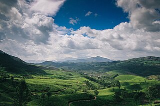
Suryanelli is a resort settlement in the Chinnakanal village in Idukki district, Kerala, India. Situated 40 km South East of the popular tourist location of Munnar. It is surrounded by tea plantations and many resorts.
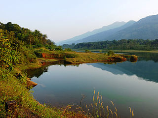
Muttom is a rural area in Idukki district in the Indian state of Kerala. This place is 66 km away from Cochin. Geographically this place is part of Midland or Idanad region of Kerala.
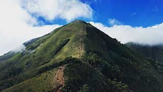
Meesapulimala is an Indian peak, the next south of the second highest peak of the Western Ghats on the border of Idukki district, Kerala state. Its peak is 2,640 metres (8,661 ft) above sea level. The name derives from its appearance from the grass with prominent whiskers. It is located in between the Anaimalai Hills and Palani Hills near Suryanelli around 20 km away from Munnar. The Kolukkumalai tea estate, Top Station and Tipadamala is also nearby.

Bodimettu is a locality in Theni district in the state of Tamil Nadu in India, near the border with Kerala. It is 10 km from Poopara on the way to Bodinayakkanur by the side of National Highway 85, which runs from Dhanushkodi to Kochi. Bodimettu is the main cardamom-growing area of Tamil Nadu. It is close to famous tourist destinations such as Munnar, Marayur, Thekkady, Kodaikanal, Anayirangal Dam.

The KDHP Tea Museum is an industry and history museum situated in Munnar, a town in the Idukki district of Kerala in South India. Tata Tea Museum is its official name, but it's also known as Nalluthanni Estate where it is located, or Kannan Devan Hills Plantation (KDHP) Tea Museum.
Edamalakkudy or Idamalakkudy is a remote tribal village and gram panchayat between the Idamalayar Reserve Forest and Mankulam Forest Division of the Anamalai hills in the Idukki district of the Kerala state of India.

Anayirangal Dam (Malayalam: ആനയിറങ്കൽ അണക്കെട്ട്) is an earthen dam built on the Panniyar river in Chinnakanal and Santhanpara panchayats, 22 km (14 mi) from Munnar in Idukki district of Kerala, India. The dam is surrounded on one side by forest and on the other by Tata Tea Plantation. The dam is located near the Munnar - Kumily road. The water flowing from the dam reaches Kuthungal and Ponmudi dams through the Panniyar river. Power is generated at Kuthungal and Panniyar powerhouses. The dam stores water from small streams flowing from Bealram and rainwater flowing from the hills on the Tamil Nadu border. The reservoir usually fills up in June and July. The height of the dam is 34.14 metres (112.0 ft) and Length is 326.13 metres (1,070.0 ft).
