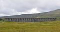
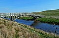
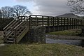
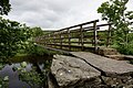
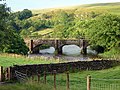
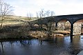
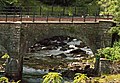
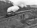
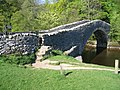
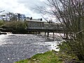
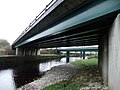
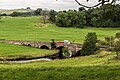
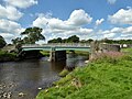
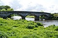
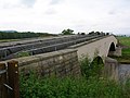
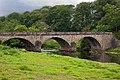
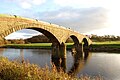
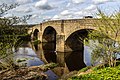
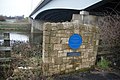
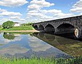
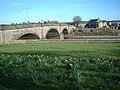
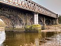
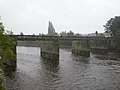
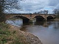
This is a list of crossings of the River Ribble in Northern England.
| Status | Criteria [1] |
|---|---|
| II* | Grade II* listed. Particularly important bridge of more than special interest |
| II | Grade II listed. Bridge of national importance and special interest |
This is a list of crossings of the River Ribble in Northern England.
| Status | Criteria [1] |
|---|---|
| II* | Grade II* listed. Particularly important bridge of more than special interest |
| II | Grade II listed. Bridge of national importance and special interest |

There are approximately 372,905 listed buildings in England and 2.5% of these are Grade I. This page is a list of these buildings in the county of Bedfordshire, by district.

There are approximately 372,905 listed buildings in England and 2.5% of these are Grade I. This page is a list of these buildings in the county of Buckinghamshire, by district.

There are approximately 372,905 listed buildings in England and 2.5% of these are Grade I. This page is a list of these buildings in the county of Cambridgeshire, by district.

There are approximately 372,905 listed historic buildings in England and 2.5% of these are Grade I. This article comprises a list of these buildings in the county of Cornwall.
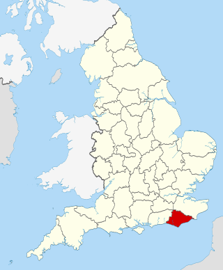
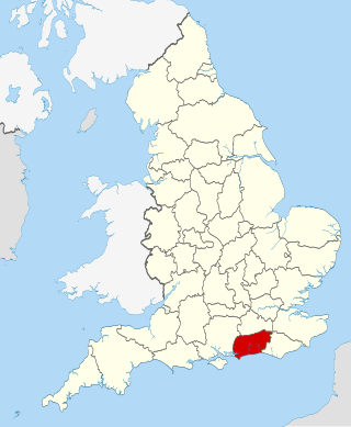
There are over 9300 Grade I listed buildings in England. This page is a list of these buildings in the county of East Sussex.
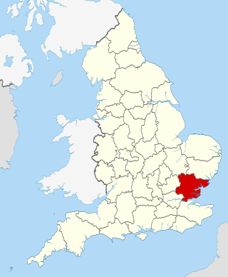
There are over 9000 Grade I listed buildings in England. This page is a list of these buildings in the county of Essex.

There are over 9,000 Grade I listed buildings in England. This page is a list of these buildings in the county of Hertfordshire, organised by district.

There are over 9,000 Grade I listed buildings in England. This page is a list of these buildings in the county of Nottinghamshire, by district.

There are over 9000 Grade I listed buildings in England. The following is a selected list of these buildings in the county of Shropshire, organised by district.

There are over 9000 Grade I listed buildings in England. This page is a list of these buildings in the county of Staffordshire, by district.

There are over 20,000 Grade II* listed buildings in England. This page is a list of the 183 of these buildings in the ceremonial county of the East Riding of Yorkshire.
There are over 20,000 Grade II* listed buildings in England. This page is a list of these buildings in the county of the Isle of Wight.
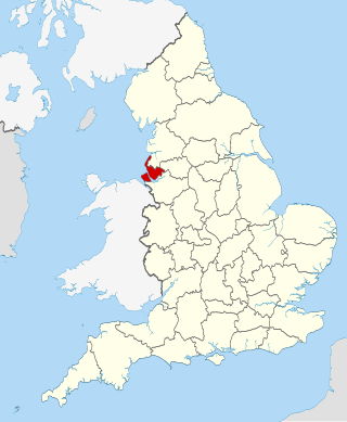
There are over 20,000 Grade II* listed buildings in England. This page is a list of these buildings in the county of Merseyside.
There are over 20,000 Grade II* listed buildings in England. This page is a list of these buildings in the county of Nottinghamshire, by district.

There are over 20,000 Grade II* listed buildings in England. This page is a list of these buildings in the county of Northumberland.
This is a list of Grade II* listed buildings in Lancashire, England.
There are over 20,000 Grade II* listed buildings in England. This page is a list of these buildings in the county of West Sussex by district.
There are over 20,000 Grade II* listed buildings in England. This is a list of these buildings in the London Borough of Richmond upon Thames.

There are over 9,000 Grade I listed buildings in England. This page is a list of these buildings in the district of Cheltenham in Gloucestershire.
There are over 9,000 Grade I listed buildings in England. This page is a list of these buildings in the district of Gloucester in Gloucestershire.