
Horn is a small town in the Waldviertel in Lower Austria, Austria and the capital of the district of the same name.

Wolfurt is a municipality in the western Austrian state of Vorarlberg.

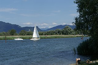
Schwarzach is a municipality in the Austrian state of Vorarlberg.

Weiz is a town in the eastern part of the Austrian state of Styria.

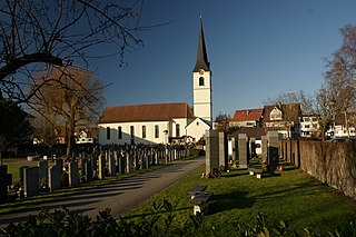
Bildstein is a municipality in the district of Bregenz in the Austrian state of Vorarlberg.
Schwarzau im Gebirge is a village in the district of Neunkirchen in the Austrian state of Lower Austria.
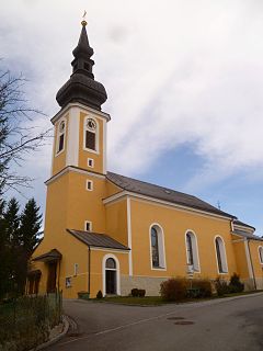
Ober-Grafendorf is a municipality in the district of Sankt Pölten-Land in the Austrian state of Lower Austria.
Traismauer is a municipality in the district of Sankt Pölten-Land in Lower Austria, Austria. It was established by the Romans, probably on a location of prior settlements. Some Roman buildings survive to this day.

Bad Erlach is a municipality in the district of Wiener Neustadt-Land in the Austrian state of Lower Austria.

Dalaas is a municipality in the district of Bludenz in the Austrian state of Vorarlberg.

Lorüns is a municipality in the district of Bludenz in the Austrian state of Vorarlberg.

Stallehr is a municipality in the district of Bludenz in the Austrian state of Vorarlberg.
Fußach is a municipality in the district of Bregenz in the Austrian state of Vorarlberg.

Höchst is a municipality in the district of Bregenz in the Austrian state of Vorarlberg.
Hörbranz is a municipality in the district of Bregenz in the Austrian state of Vorarlberg.

Koblach is a municipality in the district of Feldkirch in the Austrian state of Vorarlberg.
Altschwendt is a municipality in the district of Schärding in the Austrian state of Upper Austria.

Frankenmarkt is a municipality in the district of Vöcklabruck in the Austrian state of Upper Austria.

Schwanenstadt is a town in the district of Vöcklabruck in the Austrian state of Upper Austria.

Bad Waltersdorf is a municipality in the district of Hartberg-Fürstenfeld in Styria, Austria.


