
M-89 is an east–west state trunkline highway in the US state of Michigan that runs from near Ganges to Battle Creek. M-89 starts at an interchange with Interstate 196/US Highway 31 (I-196/US 31) and passes through Allegan, Kalamazoo County, Michigan, and Calhoun counties. The highway also briefly crosses the southwest corner of Barry County before it terminates an at intersection with Business Loop I-94 on the northwestern side of downtown Battle Creek. In between the trunkline runs parallel to the Kalamazoo River through rural southwestern Michigan farmlands while also running through the middle of several smaller towns in the area.

M-96 is a state trunkline highway in the US state of Michigan that runs between Kalamazoo and Marshall. Its termini are both on business routes of Interstate 94 (I-94); the eastern one coincides with an intersection with I-69. Between Kalamazoo and Marshall it passes through Comstock, Galesburg, Augusta, and Battle Creek intersecting I-194/M-66 in Battle Creek and I-94 in Emmett Township.
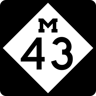
M-43 is a state trunkline highway in the southwestern and central parts of the US state of Michigan. The highway runs from South Haven to Webberville along an indirect path through both rural areas and larger cities. The trunkline follows five overall segments: a southeasterly track from South Haven to Oshtemo Township, a northerly path to Plainwell, a southeasterly route to Richland, a northeasterly course to the Hastings area and an easterly route through the Lansing area.
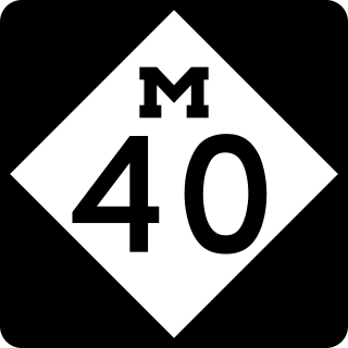
M-40 is a north–south state trunkline highway in the Lower Peninsula of the US state of Michigan. The highway runs from US Highway 12 (US 12) near the Indiana state line in Porter Township north through Paw Paw and Allegan to end in the outskirts of Holland. The current northern end is near Interstate 196 (I-196) at an intersection with US 31/Business Loop I-196 (BL 196). In between, M-40 runs through mixed agricultural and forest lands and along lakes and rivers through Southwest Michigan.

M-15 is a north–south state trunkline highway in the US state of Michigan. The southern terminus is a junction with US Highway 24 (US 24) just south of Clarkston on the northwestern edge of the Detroit metropolitan area. The trunkline is a recreational route running north and northwest to the Tri-Cities area. The northern terminus is the junction with M-25 on the east side of Bay City. The total length is about 73+2⁄3 miles (118.6 km) between the two regions.

M-75 is a 11.768-mile-long (18.939 km) segment of state trunkline highway located in Charlevoix County in the U.S. state of Michigan. This highway serves as a loop off US Highway 131 (US 131), providing access to Boyne City. The highway happens to be geographically close to Interstate 75 (I-75), but they are not related.

M-59 is an east–west state trunkline highway that crosses the northern part of Metropolitan Detroit in the US state of Michigan. It runs between Howell at Interstate 96 (I-96) and I-94 on the Chesterfield–Harrison township line near the Selfridge Air National Guard Base. While primarily a multi-lane surface highway, it is a full freeway from just east of downtown Pontiac near Opdyke Road to just east of the Mound Road/Merrill Road exit in Utica. The various surface highway segments are named either Highland Road, Huron Street or Hall Road, with the latter known as an area for shopping and dining. The rural sections west of Pontiac pass through Oakland County lake country, passing through two state recreational areas.
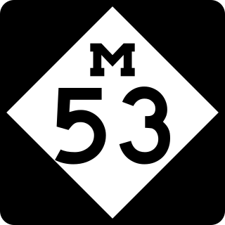
M-53 is a north–south state trunkline highway in the US state of Michigan that connects Detroit to The Thumb region. The highway starts in Detroit at a connection with M-3 and ends in Port Austin, Michigan at M-25. In between, the trunkline passes through the northern suburbs of Metro Detroit, connects to freeways like Interstate 69 (I-69) and provides access to rural farmland. In Macomb County, M-53 follows the Christopher Columbus Freeway and POW/MIA Memorial Freeway, while the remainder of the highway is known as Van Dyke Avenue in the metro area or Van Dyke Road elsewhere. The highway has also been named the Earle Memorial Highway for one of the pioneers of the Good Roads Movement and Michigan's highway system.
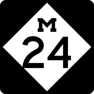
M-24 is a north–south state trunkline highway in the U.S. state of Michigan that extends 75.691 miles (121.813 km) through Southeast Michigan and The Thumb, from northeast Auburn Hills to Unionville. It starts at an interchange with Interstate 75 (I-75) and ends where it merges with M-25. While the M-24 designation is similar to that of US Highway 24 (US 24) which has a northern terminus located only a few miles from the southern terminus of M-24, M-24 was never part of US 24.
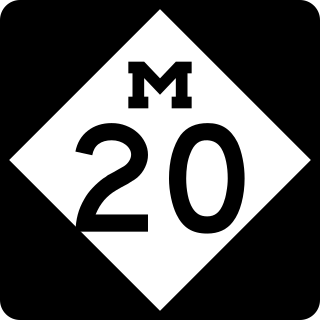
M-20 is a state trunkline highway in the US state of Michigan that runs from New Era to Midland. It crosses through rural Lower Peninsula forest land between the two ends. The highway serves the college towns of Big Rapids and Mt. Pleasant, home of the main campuses of Ferris State University and Central Michigan University, both located near the trunkline.

M-115 is a state trunkline highway in the northwestern part of the Lower Peninsula of the US state of Michigan. The highway takes a generally southeast-to-northwest direction between Frankfort on Lake Michigan and Clare in the central part of the state. The northwestern end is at M-22 next to Betsie Lake; the southeastern end in downtown Clare is at an intersection with Business US Highway 127 and Bus. US 10. In between, the trunkline runs about 96+1⁄2 miles (155.3 km) through woodlands, including areas that are a part of either the Manistee National Forest or the Pere Marquette State Forest. The highway also passes agricultural areas, several lakes in the region and a state park near Cadillac.

Business M-28 is a state trunkline highway serving as a business route that runs for approximately 4.9 miles (7.9 km) through the downtown districts of Ishpeming and Negaunee in the US state of Michigan. The trunkline provides a marked route for traffic diverting from U.S. Highway 41 (US 41) and M-28 through the two historic iron-mining communities. It is one of three business loops for M-numbered highways in the state of Michigan. There have previously been two other Bus. M-28 designations for highways in Newberry and Marquette.
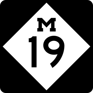
M-19 is a north–south state trunkline highway in the US state of Michigan. The trunkline begins northeast of Detroit at a junction with Interstate 94 (I-94) near New Haven and runs northward to a junction with M-142 just east of Bad Axe in The Thumb region of the Lower Peninsula. The highway runs through mostly rural and agricultural areas, connecting several small communities.

M-98 is the designation of a former 16.2-mile (26.1 km) state trunkline highway in the Upper Peninsula of the US state of Michigan. It ran between M-77 at Germfask and M-28 near McMillan. The highway connected both small towns situated around Manistique Lake when it was designated with the rest of the original state highways in 1919. The section north of Helmer on the east side of the lake ran concurrently with M-135 after the latter's creation in the late 1920s. M-98 was extended at the end of the 1940s before the whole trunkline was removed from the highway system in the 1960s. Since the 1970s, part of M-98 has been designated as one of the two County Road H-44s in the state.

M-218 was a state trunkline highway in the US state of Michigan that served as a connector route from Interstate 96 in Wixom through Oakland County's lake country area to Business US 10 in Pontiac. M-218 was originally designated by 1936 and extended into Pontiac in 1938. The highway was decommissioned in 1963.

M-140 is a north–south state trunkline highway in Berrien and Van Buren counties of the US state of Michigan. The highway starts in the Niles area at M-139 and runs north through Watervliet to South Haven, ending at Interstate 196/US Highway 31 (I-196/US 31). In between, it runs through farm fields and past lakes in the southwestern part of the Lower Peninsula. The trunkline is used, on average, by between 1,500 and 10,200 vehicles.
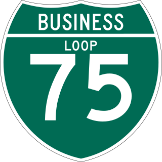
There have been nine business routes for Interstate 75 in the US state of Michigan. Numbered either Business Loop Interstate 75 or Business Spur Interstate 75 depending if they are a full business loop or a business spur, these highways are former routings of I-75's predecessor highways in the state. They were designated as I-75 was completed through the various areas of Michigan. The business loop in Pontiac runs through that city's downtown along a section of Woodward Avenue and a segment of roadway formerly used by M-24. The former Saginaw business loop was once a part of US Highway 23 (US 23), as was most of the original Bay City business loop. The roadways that make up the business loops in West Branch and Roscommon were previously part of M-76, I-75's predecessor through that part of the state. In Northern Michigan, the Grayling and Gaylord BL I-75s were part of US 27, and the two business routes in St. Ignace and Sault Ste. Marie in the Upper Peninsula of Michigan were part of US 2. A tenth business route, a loop through Indian River has been proposed. Each of the business loops connects to I-75 on both ends and runs through their respective cities' downtown areas. The two business spurs only connect to I-75 on one end and run into the appropriate downtown.

