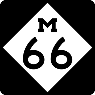
M-66 is a north–south state trunkline highway on the Lower Peninsula of the US state of Michigan. It runs from the Indiana state line in the south to Charlevoix in the north. M-66 is the only state highway to run the north–south distance of the Lower Peninsula. It starts as a continuation of State Road 9 (SR 9), which provides access to the Indiana Toll Road. The total length is approximately 272.9 miles (439.2 km), which includes almost 3.4 miles (5.5 km) of freeway between Interstate 94 (I-94) and downtown Battle Creek designated as I-194. A section of the highway immediately south of I-94 is an expressway, a type of divided limited-access highway, while the section along I-194 is a full freeway; otherwise M-66 is a two-lane rural highway. Two sections are listed on the National Highway System.

M-89 is an east–west state trunkline highway in the US state of Michigan that runs from near Ganges to Battle Creek. M-89 starts at an interchange with Interstate 196/US Highway 31 (I-196/US 31) and passes through Allegan, Kalamazoo County, Michigan, and Calhoun counties. The highway also briefly crosses the southwest corner of Barry County before it terminates an at intersection with Business Loop I-94 on the northwestern side of downtown Battle Creek. In between the trunkline runs parallel to the Kalamazoo River through rural southwestern Michigan farmlands while also running through the middle of several smaller towns in the area.

M-103 is a state trunkline highway entirely within St. Joseph County in the southwestern region of the U.S. state of Michigan. The trunkline runs between U.S. Highway 12 (US 12) in Mottville and the Indiana state line along undivided highway near the St. Joseph River. With the connection to State Road 15 (SR 15), it provides access to the Indiana Toll Road. The current highway is the second to carry the number; the first version of M-103 has been incorporated into the routing of US 131.
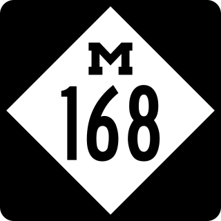
M-168 was one of the shortest state trunkline highways in the US state of Michigan, extending just under a mile (1.6 km) from a junction with M-22 in downtown Elberta to the former Ann Arbor Railroad ferry docks. It followed the south shore of Lake Betsie. The highway was commissioned in 1931 and served as a connection to the car ferries until 1984. The road was reconstructed by the Michigan Department of Transportation (MDOT) in preparation to transfer it to village control. That transfer happened on April 24, 2012, and now the former highway is a village street.
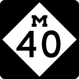
M-40 is a north–south state trunkline highway in the Lower Peninsula of the US state of Michigan. The highway runs from US Highway 12 (US 12) near the Indiana state line in Porter Township north through Paw Paw and Allegan to end in the outskirts of Holland. The current northern end is near Interstate 196 (I-196) at an intersection with US 31/Business Loop I-196 (BL 196). In between, M-40 runs through mixed agricultural and forest lands and along lakes and rivers through Southwest Michigan.

M-125 is a 19+1⁄2-mile-long (31.4 km) state trunkline highway in the US state of Michigan. The highway is entirely within Monroe County with the southern terminus on the Ohio state border near Toledo and a northern terminus at US Highway 24 (US 24) in Frenchtown Township, 5 miles (8.0 km) north of Monroe. M-125 runs through rural farmlands and connects a couple of smaller towns with Monroe. It has an unsigned connector highway that links the main highway with Interstate 75 (I-75).
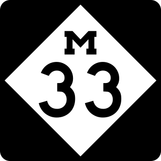
M-33 is a north–south state trunkline highway in the US state of Michigan that runs from Interstate 75 (I-75) at Alger in Arenac County north to M-27 near Cheboygan. In between, the trunkline runs through rural sections of the northeastern Lower Peninsula including state and national forest areas. M-33 connects to a handful of parks and crosses several of the rivers in that section of the state. It runs concurrently with three other state highways, sharing pavement to connect through several small communities of Northern Michigan.

M-119 is a 27.548-mile (44.334 km) state trunkline highway entirely within Emmet County in the US state of Michigan. The highway follows the shore of Lake Michigan and the Little Traverse Bay, with its southern terminus at US Highway 31 (US 31) near Bay View, about four miles (6.4 km) east of Petoskey; the northern terminus is at a junction with county roads C-66 and C-77 in Cross Village. North of Harbor Springs, the highway is known as the Tunnel of Trees Scenic Heritage Route. This section of highway lacks a centerline and is known for its scenic beauty. On an average day, between 2,000 and 15,000 vehicles use various parts of the highway.
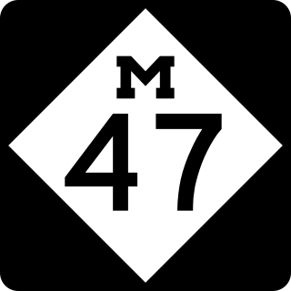
M-47 is a north–south state trunkline highway in the US state of Michigan. It runs near Saginaw and Midland in the Tri-Cities area of the Lower Peninsula. The highway runs through suburban and agricultural areas to connect the two cities with the airport in the area. The northernmost section of M-47 runs along a freeway to the terminus at US Highway 10 (US 10). M-47 runs for 14.328 miles (23.059 km), all of which has been listed as a part of the National Highway System.

M-115 is a state trunkline highway in the northwestern part of the Lower Peninsula of the US state of Michigan. The highway takes a generally southeast-to-northwest direction between Frankfort on Lake Michigan and Clare in the central part of the state. The northwestern end is at M-22 next to Betsie Lake; the southeastern end in downtown Clare is at an intersection with Business US Highway 127 and Bus. US 10. In between, the trunkline runs about 96+1⁄2 miles (155.3 km) through woodlands, including areas that are a part of either the Manistee National Forest or the Pere Marquette State Forest. The highway also passes agricultural areas, several lakes in the region and a state park near Cadillac.

M-221 is a short state trunkline highway in the Upper Peninsula (UP) of the US state of Michigan that connects M-28 with the community of Brimley and Brimley State Park. The highway was originally part of M-28 until the 1940s when it was briefly a local road. It has been a state highway again since it was designated as M-221 in 1945.

M-143, also known as Michigan Avenue, is a previously unsigned spur state trunkline highway in the south central region of the US state of Michigan. The M-143 portion of Michigan Avenue runs from the East Lansing city limit to a junction with M-43 at Grand River Avenue. This highway is the second time that there has been an M-143 in Michigan. The first was a connection to the original Cheboygan State Park. The current is a remnant of M-43 in the Lansing area.
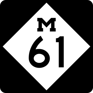
M-61 is a state trunkline highway in the US state of Michigan that runs between Marion and Standish. The highway runs along the boundary area between Northern Michigan and Central Michigan in the Lower Peninsula. M-61 runs through rural forestland connecting several smaller communities together as it connects M-115, US Highway 127 (US 127), Interstate 75 (I-75) and US 23. Less than 10,000 vehicles a day use various segments of the roadway on average.
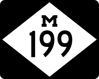
M-199 is a state trunkline highway near Albion in the US state of Michigan. The western terminus of the 4.030-mile-long (6.486 km) road is in Sheridan Township at exit 119 off Interstate 94 (I-94). The eastern terminus is a junction with Business Loop I-94 downtown Albion. The entire road is within Calhoun County and runs through rural farm fields outside of Albion; in town it is a residential street. The M-199 designation had previously been applied to a highway in the Upper Peninsula in the 1930s. The current highway was previously part of other highways in the first half of the 20th century before it was transferred to local control around 1960. It was later transferred back to state control in 1998 and remains unchanged since.
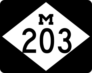
M-203 is a north–south state trunkline highway in the Upper Peninsula of the US state of Michigan. It connects McLain State Park with US 41 on each end in Hancock and Calumet. The trunkline has existed since commissioning in 1933 except a period of time when it was temporarily decommissioned.
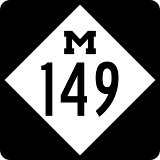
M-149 is a 10.6-mile (17.1 km) north–south state trunkline highway in the Upper Peninsula of the US state of Michigan. It connects US Highway 2 (US 2) in Thompson with the Palms Book and Indian Lake state parks. The highway was originally designed in the 1930s and extended a few years later. The last major changes to the highway were made in the 1960s when it was completely paved for the first time.

M-65 is a 103.176-mile-long (166.046 km) state trunkline highway in the US state of Michigan. The highway runs between termini on US Highway 23 (US 23) near Omer and Rogers City in the northeastern Lower Peninsula of the state. M-65 runs inland through several small communities in the region, passing through forests and fields along its course. M-65 crosses several watercourses, including the Au Sable River where it runs along the River Road National Scenic Byway. The region also includes the Huron National Forest and the Mackinaw State Forest areas.

M-140 is a north–south state trunkline highway in Berrien and Van Buren counties of the US state of Michigan. The highway starts in the Niles area at M-139 and runs north through Watervliet to South Haven, ending at Interstate 196/US Highway 31 (I-196/US 31). In between, it runs through farm fields and past lakes in the southwestern part of the Lower Peninsula. The trunkline is used, on average, by between 1,500 and 10,200 vehicles.
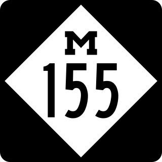
M-155 was a signed state trunkline in the US state of Michigan that served as a spur route from Business Loop Interstate 96 in Howell in Livingston County to the Hillcrest Center, the former Howell State Hospital. It was originally designated in the early 1930s and outlasted the hospital which closed in 1982. The roadway was removed from state maps after 1991 but remains under state maintenance as an unsigned trunkline listed as either M-155 or Old M-155.

