M-103 is a state trunkline highway entirely within St. Joseph County in the southwestern region of the U.S. state of Michigan. The trunkline runs between U.S. Highway 12 (US 12) in Mottville and the Indiana state line along undivided highway near the St. Joseph River. With the connection to State Road 15 (SR 15), it provides access to the Indiana Toll Road. The current highway is the second to carry the number; the first version of M-103 has been incorporated into the routing of US 131.
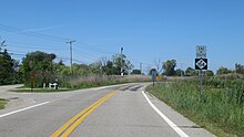
M-168 was one of the shortest state trunkline highways in the US state of Michigan, extending just under a mile (1.6 km) from a junction with M-22 in downtown Elberta to the former Ann Arbor Railroad ferry docks. It followed the south shore of Lake Betsie. The highway was commissioned in 1931 and served as a connection to the car ferries until 1984. The road was reconstructed by the Michigan Department of Transportation (MDOT) in preparation to transfer it to village control. That transfer happened on April 24, 2012, and now the former highway is a village street.

M-13 is a 73.339-mile (118.028 km) north–south state trunkline highway that runs through the Saginaw Bay region of the US state of Michigan. It runs from Interstate 69 (I-69) south of Lennon to US Highway 23 (US 23) near Standish. The southern section of the trunkline runs along a pair of county lines in a rural area dominated by farm fields. The highway directly connects the downtown areas of both Saginaw and Bay City. North of the latter city, the Lake Huron Circle Tour follows M-13 along the Saginaw Bay.
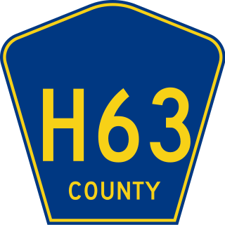
H-63 is a county-designated highway (CDH) in the Upper Peninsula of the US state of Michigan. The highway parallels the Interstate 75 (I-75) corridor between St. Ignace and Sault Ste. Marie. The road is called Mackinac Trail after the Upper Peninsula branch of an Indian trail used before European settlers reached the area. Originally, the roadway was built as a section of US Highway 2 (US 2) before being added to the CDH system in the 1970s.

M-59 is an east–west state trunkline highway that crosses the northern part of Metropolitan Detroit in the US state of Michigan. It runs between Howell at Interstate 96 (I-96) and I-94 on the Chesterfield–Harrison township line near the Selfridge Air National Guard Base. While primarily a multi-lane surface highway, it is a full freeway from just east of downtown Pontiac near Opdyke Road to just east of the Mound Road/Merrill Road exit in Utica. The various surface highway segments are named either Highland Road, Huron Street or Hall Road, with the latter known as an area for shopping and dining. The rural sections west of Pontiac pass through Oakland County lake country, passing through two state recreational areas.
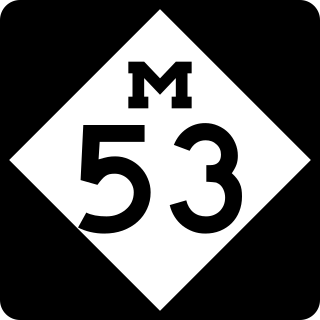
M-53 is a north–south state trunkline highway in the US state of Michigan that connects Detroit to The Thumb region. The highway starts in Detroit at a connection with M-3 and ends in Port Austin, Michigan at M-25. In between, the trunkline passes through the northern suburbs of Metro Detroit, connects to freeways like Interstate 69 (I-69) and provides access to rural farmland. In Macomb County, M-53 follows the Christopher Columbus Freeway and POW/MIA Memorial Freeway, while the remainder of the highway is known as Van Dyke Avenue in the metro area or Van Dyke Road elsewhere. The highway has also been named the Earle Memorial Highway for one of the pioneers of the Good Roads Movement and Michigan's highway system.
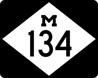
M-134 is an east–west state trunkline highway in the Upper Peninsula (UP) of the US state of Michigan. It connects Interstate 75 (I-75) north of St. Ignace with the communities of Hessel, Cedarville and De Tour Village along Lake Huron. East of De Tour, the highway crosses the De Tour Passage on a ferry to run south of the community of Drummond on Drummond Island. It is one of only three state trunklines in Michigan on islands; the others are M-154 on Harsens Island and M-185 on Mackinac Island. M-134 is also one of only two highways to utilize a ferry in Michigan; the other is US Highway 10 (US 10) which crosses Lake Michigan from Manitowoc, Wisconsin, to Ludington. Most of the mainland portion of M-134 is also part of the Lake Huron Circle Tour, and since 2015, it has been a Pure Michigan Byway under the name M-134 North Huron Byway.

M-97 is a state trunkline highway in the U.S. state of Michigan. It runs from Detroit to north of Mt. Clemens following Groesbeck Highway. The highway starts south of 7 Mile Road and runs northeasterly through Macomb County suburbs to Hall Road, which takes the place of 20 Mile Road in the Mile Road System. In between the termini, Groesbeck Highway runs through suburban residential and commercial areas.

M-29 is a state trunkline highway in the US state of Michigan that runs in a south–north direction from Chesterfield Township to Marysville. It generally runs along the shore of Lake St. Clair and the St. Clair River.

M-189 is a north–south state trunkline highway in the Upper Peninsula of the US state of Michigan. It serves as the continuation of Highway 139 (WIS 139) from Wisconsin into Michigan, connecting to US Highway 2 (US 2) in Iron River. M-189 has been largely unchanged since being designated in the 1930s, although a new bridge over the Brule River at the state line was built in 1988.
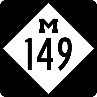
M-149 is a 10.6-mile (17.1 km) north–south state trunkline highway in the Upper Peninsula of the US state of Michigan. It connects US Highway 2 (US 2) in Thompson with the Palms Book and Indian Lake state parks. The highway was originally designed in the 1930s and extended a few years later. The last major changes to the highway were made in the 1960s when it was completely paved for the first time.

M-188 is a 4.559-mile-long (7.337 km) state trunkline highway in the US state of Michigan. It runs from Eaton Rapids to the VFW National Home for Children, southeast of town through a rural area. Approximately 1,000 vehicles each day use a highway that was first designated in the 1930s and paved in the 1940s.
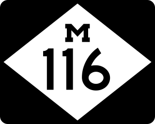
M-116 is a 7.018-mile-long (11.294 km) state trunkline highway in the US state of Michigan that begins in Ludington at an intersection with US Highway 10 (US 10) at James Street and Ludington Avenue. The road travels northward, much of it along the shore of Lake Michigan before reaching its terminus at the entrance to Ludington State Park. The roadway has been in the state highway system since the late 1920s. It has been realigned a few times, most recently in the late 1990s.

M-136 is a state trunkline highway in the US state of Michigan that runs from Brockway to Fort Gratiot in the lower part of The Thumb of the Lower Peninsula. The highway serves as a connector between M-19 on the west and M-25 northwest of Port Huron. In between, the highway runs through rural St. Clair County through farm fields and along a creek and river. The trunkline uses roads that were part of the state highway system in 1919. The M-136 designation was assigned in 1931 and extended to its current length in 1961.

M-124 is a state trunkline highway in the Lower Peninsula of the US state of Michigan that runs on the north side of Vineyard and Wamplers lakes near Brooklyn in Jackson County near the Irish Hills area. The highway travels directly through W. J. Hayes State Park before ending in Lenawee County. The designation was created in 1929 for a road that accessed the state park, connecting it to US Highway 112. It was later extended westward to M-50 in Brooklyn in the 1930s.

M-156 is a state trunkline highway in the US state of Michigan. The highway is entirely within Lenawee County and begins in Morenci at the Ohio state line with State Route 108 (SR 108) and runs north to M-34 at Clayton. The highway runs through farm land along Lime Creek outside of the two communities, providing access to the Lake Hudson State Recreation Area. The trunkline dates back to the early 1930s, and has been unchanged since a realignment in 1980.

M-138 is a 20-mile-long (32 km) east–west state trunkline highway in The Thumb region of the US state of Michigan. The highway runs from a junction with M-15 west of the unincorporated community of Munger in Bay County to the intersection with M-24 east of Akron in Tuscola County. The trunkline runs through rural agricultural areas outside of the villages and communities it serves. It was designated in the 1930s and extended in the 1940s. M-138 was truncated in the 1990s as well.
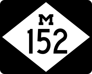
M-152 is a state trunkline highway in the US state of Michigan in Cass and Van Buren counties. The highway runs through the Sister Lakes area providing access to the lake cabins and adjoining farmlands. The highway has existed mostly unchanged since the designation was commissioned in the 1930s.
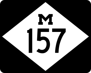
M-157 is a short state trunkline highway in the US state of Michigan. The highway is entirely within Roscommon County in the Lower Peninsula. It is the fourth-shortest state highway in the system, and it serves as a connector route between M-18 and M-55 just east of Prudenville. The current roadway was built and designated as M-157 in the 1930s.
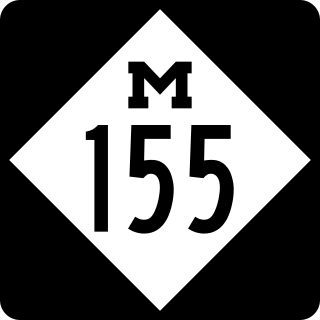
M-155 was a signed state trunkline in the US state of Michigan that served as a spur route from Business Loop Interstate 96 in Howell in Livingston County to the Hillcrest Center, the former Howell State Hospital. It was originally designated in the early 1930s and outlasted the hospital which closed in 1982. The roadway was removed from state maps after 1991 but remains under state maintenance as an unsigned trunkline listed as either M-155 or Old M-155.