Related Research Articles
Kearney Regional Airport is an airport five miles northeast of Kearney in Buffalo County, Nebraska. Denver Air Connection provides scheduled passenger service to Denver which is supported by the Essential Air Service.
McCook Ben Nelson Regional Airport is two miles east of McCook, in Red Willow County, Nebraska. It was formerly McCook Municipal Airport and McCook Regional Airport. It sees one airline, subsidized by the Essential Air Service program.
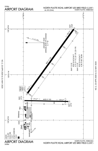
North Platte Regional Airport is a public airport three miles east of North Platte, in Lincoln County, Nebraska. It is owned by the North Platte Airport Authority and sees one airline, subsidized by the Essential Air Service program.
Western Nebraska Regional Airport is three miles east of Scottsbluff, in Scotts Bluff County, Nebraska. The airport is owned by the Airport Authority of Scotts Bluff County and is named after William B. Heilig. Known as "Scottsbluff's Mr. Aviation," he was a World War II United States Army Air Force primary flight instructor, a civil flight instructor, and manager of the city's airport.

Sacramento Mather Airport is a public airport 11 miles east of Sacramento, in Sacramento County, California, United States. It is on the site of Mather Air Force Base, which closed in 1993 pursuant to BRAC action.

Winnemucca Municipal Airport is six miles southwest of Winnemucca, in Humboldt County, Nevada. The airport was renamed Franklin Field on April 20, 2019, in honor of Lt. Col. Irl “Leon” Franklin, a decorated Vietnam War veteran and combat pilot who earned the Silver Star for his lead role in Operation Ivory Coast.

Arlington Municipal Airport is five miles south of Arlington, in Tarrant County, Texas. The airport is at the intersection of Interstate 20 and South Collins Road; it is a reliever airport for Dallas/Fort Worth International Airport and Dallas Love Field.
Keokuk Municipal Airport is five miles northwest of Keokuk, in Lee County, Iowa. The National Plan of Integrated Airport Systems for 2017–2021 categorized it as a general aviation facility.
Nebraska City Municipal Airport is four miles south of Nebraska City, in Otoe County, Nebraska.

West Woodward Airport is in Woodward County, Oklahoma, United States, seven miles west of Woodward, which owns it. The National Plan of Integrated Airport Systems for 2011–2015 called it a general aviation airport.
Halliburton Field is in Stephens County, Oklahoma, United States, two miles south of Duncan, which owns it.
Sidney Municipal Airport is three miles south of Sidney, in Cheyenne County, Nebraska. It is owned by the Sidney Airport Authority.
Jim Kelly Field is a public use airport two miles northwest of Lexington, in Dawson County, Nebraska.
Broken Bow Municipal Airport, also known as Keith Glaze Field, is a public use airport located two nautical miles (4 km) north of the central business district of Broken Bow, a city in Custer County, Nebraska, United States. It is owned by the Broken Bow Airport Authority. This airport is included in the National Plan of Integrated Airport Systems for 2011–2015, which categorized it as a general aviation facility.
Fremont Municipal Airport is two miles northwest of Fremont, in Dodge County, Nebraska. The FAA's National Plan of Integrated Airport Systems for 2009-2013 classified it as a general aviation airport.
Wahoo Municipal Airport is two miles northeast of Wahoo, in Saunders County, Nebraska. It is owned by the Wahoo Airport Authority. The FAA's National Plan of Integrated Airport Systems for 2009–2013 classified it as a general aviation airport.
The O'Neill Municipal Airport is two miles northwest of O'Neill, in Holt County, Nebraska. It is owned by the O'Neill Airport Authority. The FAA's National Plan of Integrated Airport Systems for 2009–2013 categorized it as a general aviation facility.

Hastings Municipal Airport is two miles northwest of Hastings in Adams County, Nebraska. The National Plan of Integrated Airport Systems for 2011–2015 categorized it as a "general aviation" airport.
York Municipal Airport is a mile northwest of York, in York County, Nebraska. The National Plan of Integrated Airport Systems for 2011–2015 categorized it as a general aviation facility.
Brenner Field is a public use airport located one nautical miles (1.6 km) northeast of the central business district of Falls City, a city in Richardson County, Nebraska, United States.
References
- 1 2 3 FAA Airport Form 5010 for VTN PDF , effective November 2, 2023.