
Leigh is a town in the Metropolitan Borough of Wigan, Greater Manchester, England, on low-lying land northwest of Chat Moss.
Morecambe and Heysham was a municipal borough in Lancashire, England. It was formed in 1928 by the merging of Morecambe Municipal Borough and Heysham Urban District, and abolished in 1974 when it was absorbed into the City of Lancaster local government district.
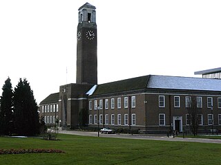
Swinton and Pendlebury was a local government district of the administrative county of Lancashire, England. It was created in 1894 as an urban district and enlarged in 1934, gaining the status of a municipal borough.
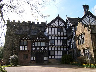
Turton Urban District was, from 1873 to 1974, a local government district centred on the historical area of Turton in the administrative county of Lancashire, England.
Westhoughton was a parliamentary constituency in Lancashire, England. Centred on the former mining and cotton town of Westhoughton, it returned one Member of Parliament (MP) to the House of Commons of the Parliament of the United Kingdom.
Billinge was, from 1872 to 1974, a local government district in the administrative county of Lancashire, England.

Royton was a local government district from 1863 to 1974 in Lancashire, England, which covered the modern-day town of Royton, and its suburbs and districts.

The Municipal Borough of Farnworth was a local government district centred on the town of Farnworth in the administrative county of Lancashire, England. A local board of health had been established for Farnworth in 1863, which was reconstituted as an urban district in 1899, before being granted a charter of incorporation to become a municipal borough in 1939. Following abolition of the local authority in 1974, Farnworth became an unparished area of the Metropolitan Borough of Bolton in Greater Manchester.

Tyldesley cum Shakerley Urban District and its successor Tyldesley Urban District was, from 1894 to 1974, a local government district in Lancashire, England.

Atherton was, from 1863 to 1974, a local government district in Lancashire, England.

Westleigh, a suburb of Leigh, Greater Manchester, England, is one of three ancient townships, Westleigh, Bedford and Pennington, that merged in 1875 to form the borough of Leigh.

Bedford, a suburb of Leigh, Greater Manchester is one of three ancient townships, Bedford, Pennington and Westleigh, that merged in 1875 to form the town of Leigh. Historically, Bedford was in Lancashire.

Pennington, a suburb of Leigh, Greater Manchester is one of six townships in the ancient ecclesiastical parish of Leigh, that with Westleigh and Bedford merged to form the town of Leigh in 1875. The township of Pennington covered most of Leigh's town centre.
Blackrod was, from 1872 to 1974, a local government district centred on the village of Blackrod in the administrative county of Lancashire, England.
Horwich was, from 1872 to 1974, a local government district centred on the town of Horwich in the administrative county of Lancashire, England.
Kearsley was, from 1865 to 1974, a local government district centred on the town of Kearsley in the administrative county of Lancashire, England.
Little Lever was, from 1872 to 1974, a local government district centred on the large village of Little Lever in the administrative county of Lancashire, England.

Westhoughton was, from 1872 to 1974, a local government district centred on the town of Westhoughton in the administrative county of Lancashire, England.

The Municipal Borough of Chorley was a local government district in the administrative county of Lancashire, England, with municipal borough status and coterminate with the town of Chorley.
