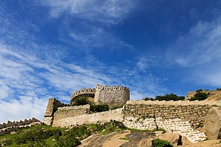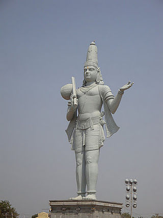
Nizamabad district is a district located in the north-western region of the Indian state of Telangana. The city of Nizamabad is the district headquarters. The district share boundaries with Jagtial, Sircilla, Nirmal, Kamareddy districts and with Nanded district of the state boundary of Maharashtra.

Bhongir, officially known as Bhuvanagiri, is a city and a district headquarters of the Yadadri Bhuvanagiri district and part of the Hyderabad Metropolitan Region of the Indian state of Telangana.

Jammalamadugu is a town in Municipality and Revenue Division in YSR Kadapa district of the Indian state of Andhra Pradesh. It is in Jammalamadugu mandal of Jammalamadugu revenue division. It has many old historical sites and one of the top tourist destination in Andhra Pradesh.

Tadipatri or Tadpatri is a city in Anantapur district of the Indian state of Andhra Pradesh at the border of Kurnool district and Kadapa district. It is the mandal headquarters of Tadipatri mandal in Anantapur revenue division. The Chintala Venkataramana Temple is located on a five-acre site in Tadipatri. The Bugga Ramalingeswara Temple is located one kilometer from the town, overlooking the Penna River.
Giddaluru is a town in the Prakasam district of the Indian state of Andhra Pradesh. It is the mandal headquarters of the Giddaluru mandal in Markapur revenue division. It was part of kurnool district till 1969 later it was merged into Prakasam district in 1970. Till 2008 it was under Nandyal parliament segment after delimitation it was moved to Ongole MP segment. Giddalur is also known as "3 zilla la muddu bidda " because during the Britishers rule it was in kadapa district later moved to kurnool then in 1970 merged in prakasam district. Giddalur is the only constituency in coastal districts which has Rayalseema culture,slang and traditions. Giddalur town has good transport connectivity to Nandyal, Markapur, Podili, Ongole, Kurnool, Kadapa.
Amruthalur is a village in Guntur district of the Indian state of Andhra Pradesh. It is the headquarters of Amruthaluru mandal in Tenali revenue division. The village forms a part of Andhra Pradesh Capital Region and is under the jurisdiction of APCRDA.
Ardhaveedu is a village in Prakasam district of the Indian state of Andhra Pradesh. It is the mandal headquarters of Ardhaveedu mandal in Markapur revenue division.
Racherla is a village in Prakasam district of the Indian state of Andhra Pradesh. It is the mandal headquarters of Racharla mandal in Markapur revenue division.

Ghatkesar is a satellite town of Hyderabad in the Medchal-Malkajgiri district of Telangana, India. It is the mandal headquarters of Ghatkesar Mandal in the Keesara revenue division. Located in the outer suburbs of Hyderabad, it is a part of the Hyderabad Metropolitan Development Authority.
Obulavaripalle mandal is one of the 50 mandals in Annamayya district of the Indian state of Andhra Pradesh. It is under the administration of Rajampeta revenue division, with its headquarters at Mangampet town. The mandal is bounded by Kodur, Chitvel and Pullampeta mandals. Construction of a new railway line Obulavaripalle–Krishnapatnam section connecting Obulavaripalle railway station to Krishnapatnam port is in progress.
Talupula is a village in Sri Sathya Sai district of the Indian state of Andhra Pradesh. It is the headquarters of Talupula mandal in Kadiri revenue division.
Trenholm is an unincorporated community in Powhatan County, in the U.S. state of Virginia. This area includes historic Muddy Creek Baptist Church.
Amrabad is a Mandal in Nagarkurnool district, Telangana It is the largest mandal in the district area-wise, but population density is less. Large portions of the mandal is occupied by Nallamala forests. Amrabad also served as the headquarters of the taluka before separate mandals were formed. It is inhabited by tribal population, mostly Chenchus.
Samsthan Narayanapur is a Mandal in Bhuvanagiri district of Telangana State, India. Narayanapur Mandal Headquarters is Narayanapur town. It belongs to Telangana region. It is located 39 km towards west from District headquarters Bhongir.

Machilipatnam mandal is one of the 25 mandals in Krishna district of the Indian state of Andhra Pradesh. It is under the administration of Machilipatnam revenue division and the headquarters are located at Machilipatnam town. The mandal is bounded by Bantumilli, Pedana, Gudur, Ghantasala, Challapalli and Koduru mandals.
Bela is a village in the Adilabad district, the northernmost district in the state of Telangana in south India.
Gudihatnur is a mandal in Adilabad district of the Indian state of Telangana. It is located in Gudihatnur mandal of Adilabad revenue division.

Yadadri Bhuvanagiri District, is a district in the Indian state of Telangana. The administrative headquarters is located at Bhuvanagiri Town. The district shares boundaries with Suryapet, Nalgonda, Jangaon, Siddipet, Medchal-Malkajgiri and Rangareddy districts. It was carved out of Nalgonda district on 11 October 2016 during a large reorganization of the districts of Telangana.

Annamayya district is one of the eight districts in the Rayalaseema region of Andhra Pradesh, established in 2022. Rayachoti is the district administrative headquarters, and Madanapalle is the most populated city in the district.

Nandyal district is a district in the Indian state of Andhra Pradesh with Nandyal as its administrative headquarters, it was formed on 4 April 2022 to become one of the resultant 26 districts. It is part of the Rayalaseema region. The district consists of Nandyal revenue division and a newly formed Dhone revenue division and Atmakur revenue division from Kurnool district.


