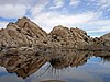
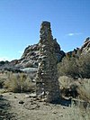
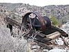
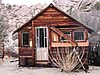
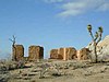
This is a list of the National Register of Historic Places listings in Joshua Tree National Park.
This is intended to be a complete list of the properties and districts on the National Register of Historic Places in Joshua Tree National Park, California, United States. The locations of National Register properties and districts for which the latitude and longitude coordinates are included below, may be seen in an online map.
There are six properties and districts listed on the National Register in the park.
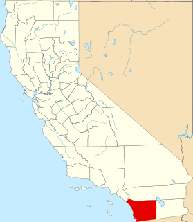
This is a list of the National Register of Historic Places listings in San Diego County, California.

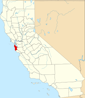
This is a list of the National Register of Historic Places listings in Ventura County, California.

This is a list of the National Register of Historic Places listings in Humboldt County, California.

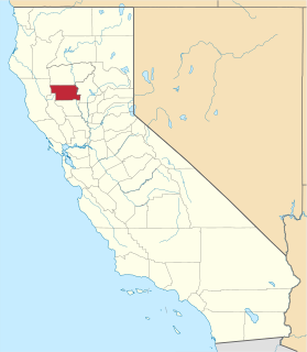
This is intended to be a complete list of the properties and districts on the National Register of Historic Places in Santa Clara County, California, United States. Latitude and longitude coordinates are provided for many National Register properties and districts; these locations may be seen together in an online map.

This is a list of the National Register of Historic Places listings in Riverside County, California.

This is a list of the National Register of Historic Places listings in San Bernardino County, California.

This is a list of the National Register of Historic Places listings in Marin County, California.

This is a list of the National Register of Historic Places listings in San Joaquin County, California.
This is a list of the National Register of Historic Places listings in San Mateo County, California.

This is a list of the National Register of Historic Places listings in Santa Barbara County, California.

This is a list of the National Register of Historic Places listings in San Luis Obispo County, California.

This is a list of the National Register of Historic Places listings in Shasta County, California.

This is a list of the National Register of Historic Places listings in Solano County, California.

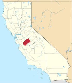
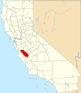
This is a list of the National Register of Historic Places listings in Kings County, California.

This is a list of the National Register of Historic Places listings in Mono County, California.

This is a list of the National Register of Historic Places listings in Alpine County, California.
This is a list of the National Register of Historic Places listings in Glenn County, California.
This is a list of the National Register of Historic Places listings in Merced County, California.
This is a list of the National Register of Historic Places listings in San Benito County, California.

This is a list of the National Register of Historic Places listings in Trinity County, California.
| Wikimedia Commons has media related to National Register of Historic Places in Joshua Tree National Park . |
| Topics | |
|---|---|
| Lists by state |
|
| Lists by insular areas | |
| Lists by associated state | |
| Other areas | |
| Related | |