Racine station (CTA Blue Line)

Last updated
Racine
 
1200W
430S
Chicago 'L' rapid transit station
Platform at Racine, looking outbound (51211666201).jpg
General information
Location430 South Racine Avenue
Chicago, IL 60607
Coordinates 41°52′33″N87°39′35″W / 41.8759°N 87.6596°W / 41.8759; -87.6596
Owned by Chicago Transit Authority
Line(s) Forest Park Branch
Platforms1 island platform
Tracks2
Construction
Structure typeExpressway median
History
OpenedJune 22, 1958;65 years ago (1958-06-22)
Rebuilt20232025
Passengers
2022323,222 [1] Increase2.svg 45%
Services
Preceding station Chicago "L" Following station
Illinois Medical District
toward Forest Park
Blue Line
UIC–Halsted
toward O'Hare Pictograms-nps-airport.svg
Former services
Preceding station Chicago "L" Following station
Polk
toward 54th/Cermak
Blue Line UIC–Halsted
toward O'Hare Pictograms-nps-airport.svg
Location
Racine station (CTA Blue Line)

Racine is an 'L' station on the CTA's Blue Line. The station serves the Near West Side neighborhood and the western end of the UIC campus.

Contents

History

Elevated station

Expressway-median station

The station opened on June 22, 1958, and is almost identical to every other station built in the median of the Eisenhower Expressway, including an island platform, a small station house on Racine's and Loomis's overpass containing only a ticket booth and turnstiles and a long passageway ramp connecting the two.

Renovation

Racine station under reconstruction Racine CTA Blue Line station (May 2024).jpg
Racine station under reconstruction

As part of the Forest Park Branch Rebuild project, Racine is currently undergoing a renovation lasting from July 2023 until 2025. The station will have both entrances rebuilt, new elevator installed, new stairs and an ADA-compliant ramp added, and the platform extended. The Racine station closed to allow new tracks to be built between Illinois Medical District and LaSalle, and the closure lasted until October 2023, after which the station itself and the Loomis entrance reopened to riders. The Racine entrance will remain closed until December 2024 for reconstruction. After that, the Loomis entrance will also close until 2025, at which point the station renovation is scheduled to be completed. [2] [3]

Service

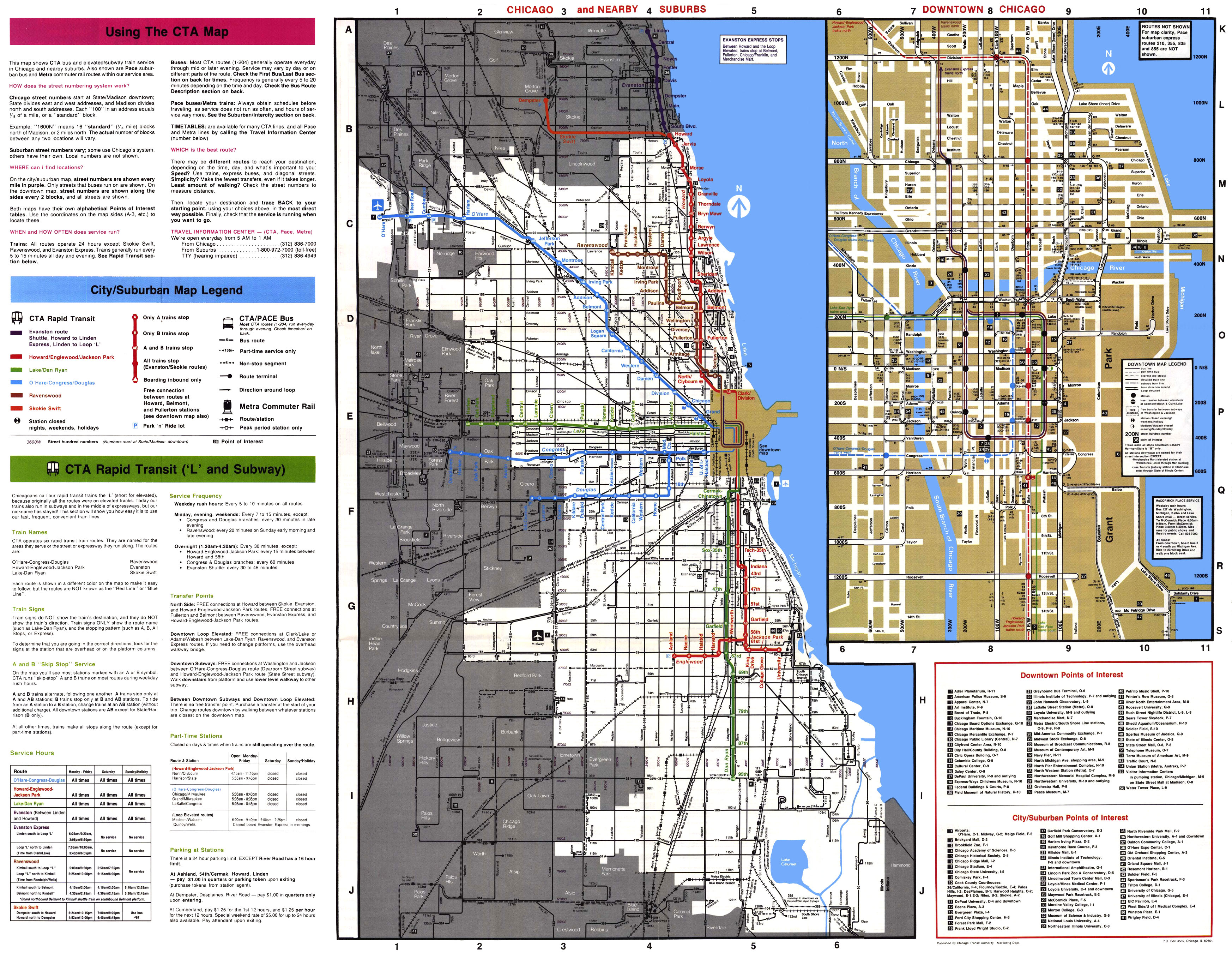
Racine sits at the base of the Loomis ramp, a double-tracked viaduct that rises from the expressway to join the Douglas Branch north of Polk station. Prior to April 28, 2008, the Blue Line split into two branches here. Trains to Forest Park continued west in the Congress Expressway, while the other trains took the Loomis Ramp to the Douglas branch to operate to 54th/Cermak. After April 28, 2008, the Douglas Branch service was discontinued and replaced by the Pink Line. [4] Although the Loomis Ramp no longer is used for revenue service, it remains intact as the only track connection between the Blue Line and the rest of the system, allowing for non-revenue equipment moves. When construction or another means of traffic obstruction occurs on the Pink Line between Polk and Ashland, trains are routed via the Loomis Ramp to Racine, where they terminate. [5]

Location

The station is located at 430 South Racine Avenue and gives access to the University Village neighborhood and the western end of the UIC campus. It is in the Eisenhower Expressway median at surface level. The Loomis Street entrance to the Racine station is located near Whitney M. Young Magnet High School and Andrew Jackson Language Academy.

Bus connections

CTA

Pace

Related Research Articles

<span class="mw-page-title-main">Chicago "L"</span> Rapid transit system in Chicago, Illinois, US

The Chicago "L" is the rapid transit system serving the city of Chicago and some of its surrounding suburbs in the U.S. state of Illinois. Operated by the Chicago Transit Authority (CTA), it is the fourth-largest rapid transit system in the United States in terms of total route length, at 102.8 miles (165.4 km) long as of 2014, and the third-busiest rapid transit system in the United States. In 2016, the "L" had 1,492 rail cars, eight different routes, and 145 train stations. In 2023, the system had 117,447,000 rides, or about 373,800 per weekday in the fourth quarter of 2023.

<span class="mw-page-title-main">Blue Line (CTA)</span> Rapid transit line in Chicago

The Blue Line is a 26.93-mile-long (43.34 km) Chicago "L" line which extends through The Loop from O'Hare International Airport at the far northwest end of the city, through downtown via the Milwaukee–Dearborn subway and across the West Side to its southwest end at Forest Park, with a total of 33 stations. At about 27 miles, it is the longest line on the Chicago "L" system and second busiest, and one of the longest local subway/elevated lines in the world. It has an average of 64,978 passengers boarding each weekday in 2022.

<span class="mw-page-title-main">95th/Dan Ryan station</span> Chicago "L" station

95th/Dan Ryan, announced as 95th, is an 'L' station in the median of the Dan Ryan Expressway and serving Chicago's Roseland neighborhood. It serves as the southern terminus of the Chicago Transit Authority's Red Line. This station was the system's thirteenth busiest in 2021. Trains take approximately 30 minutes to travel to the Loop, and 60 minutes to reach Howard.

<span class="mw-page-title-main">Pink Line (CTA)</span> Rapid transit line in Chicago, Illinois

The Pink Line is an 11.2 mi (18.0 km) rapid transit line in Chicago, run by the Chicago Transit Authority (CTA) as part of the Chicago "L" system. It is the CTA's newest rail line and began operation for a 180-day trial period on June 25, 2006, running between 54th/Cermak station in Cicero, Illinois and the Loop in downtown Chicago. As the line enters downtown Chicago, it begins to share tracks with Green Line trains on Lake Street. This connection is handled by the previously non-revenue Paulina Connector set of tracks. In 2022, over 3 million passengers boarded Pink Line trains.

<span class="mw-page-title-main">18th station</span> Rapid transit station in Chicago

18th is an 'L' station on the CTA's Pink Line. It is located at 1710 West 18th Street in the Pilsen neighborhood of Chicago, Illinois. The station is decorated with colorful murals painted by local artists from Pilsen.

<span class="mw-page-title-main">UIC–Halsted station</span> Chicago "L" station

UIC–Halsted, is a Chicago "L" station on the CTA's Blue Line. The station serves the University of Illinois at Chicago, the University Village neighborhood, and the Greektown neighborhood all located in the Near West Side.

<span class="mw-page-title-main">Illinois Medical District station</span> Chicago "L" station

Illinois Medical District is a station on the Chicago Transit Authority's 'L' system, serving the Blue Line's Forest Park branch. It is located in the median of the Eisenhower Expressway. Prior to June 25, 2006, the station was known as Medical Center. As the name implies, it primarily serves the Illinois Medical District and Tri-Taylor neighborhood, but is also close to the United Center, home of the Chicago Bulls and Chicago Blackhawks sports teams.

<span class="mw-page-title-main">Western station (CTA Blue Line Forest Park branch)</span> Chicago "L" station

Western is a station on the 'L' system, serving the Blue Line's Forest Park branch. It is located in the median of the Eisenhower Expressway. It serves the Near West Side neighborhood and Crane Tech High School. The station is also located about 1 mile (1.6 km) north of the Western Avenue commuter railroad station.

<span class="mw-page-title-main">Kedzie–Homan station</span> Chicago "L" station

Kedzie–Homan is an 'L' station on the CTA Blue Line's Forest Park branch. The station is located in the median of the Eisenhower Expressway and serving the East Garfield Park neighborhood and has two entrances on the Kedzie and Homan Avenue overpasses.

<span class="mw-page-title-main">Pulaski station (CTA Blue Line)</span> Chicago "L" station

Pulaski is a station on the Chicago 'L' system, serving the Blue Line's Forest Park branch. The station is located in the median of the Eisenhower Expressway and serves the West Garfield Park neighborhood. A long ramp connects the platform to the station house on the Pulaski Road overpass. There was originally a similar entrance from the Keeler Avenue overpass; the entrance from Keeler was closed to cut costs on January 15, 1973, but retained as an exit, and the exit was fully closed on December 28, 1978. The structure for this exit still stands but it is closed to the public.

<span class="mw-page-title-main">Cicero station (CTA Blue Line)</span> Chicago "L" station

Cicero is a station on the 'L' system, serving the Blue Line's Forest Park branch. It is located in the median of the Eisenhower Expressway and serving the Austin neighborhood. Originally, Cicero had an additional entrance at Lavergne Avenue, but this was closed on May 16, 1977, by the CTA as a cost-cutting measure. The structure for this exit still stands but it is closed to the public.

<span class="mw-page-title-main">Austin station (CTA Blue Line)</span> Chicago "L" station

Austin is a station on the 'L' system, serving the Blue Line's Forest Park branch. It is located at Austin Boulevard alongside the Eisenhower Expressway in Oak Park, Illinois. The station has an auxiliary entrance/exit at Lombard Avenue. After CTA Blue Line trains pass the station, the CTA line splits away from the Baltimore and Ohio Chicago Terminal Railroad lines letting the CTA Blue Line continue into Chicago afterwards.

<span class="mw-page-title-main">Polk station</span> Rapid transit station in Chicago

Polk is an 'L' station on the Pink Line of the Chicago Transit Authority. It is adjacent to Rush University Medical Center within the Illinois Medical District in the Near West Side community area.

<span class="mw-page-title-main">Damen station (CTA Pink Line)</span> Chicago rapid transit station

Damen is a station on the Chicago Transit Authority's 'L' system, serving the Pink Line and the Pilsen neighborhood.

<span class="mw-page-title-main">Cicero station (CTA Pink Line)</span> Chicago rapid transit station

Cicero is a station on the Chicago Transit Authority's 'L' system, serving the Pink Line. The station was the site of an accident in 1979 in which a train derailed and hit the station, stopping just short of the ticket agent's booth. The station is located in Cicero, Illinois.

<span class="mw-page-title-main">54th/Cermak station</span> Chicago "L" Station

54th/Cermak is an 'L' station and the terminus of the CTA's Pink Line. It was the terminus of the former Cermak branch of the Blue Line. It is located at Cermak Road between 54th and Laramie Avenues in Cicero, Illinois. It is the only terminal with only one track used for service. Trains board on the eastern half of 54th/Cermak station and unload on the western half. Previously known as the Cicero-Berwyn Terminal, it is located about 1 mile (1.6 km) from the city of Berwyn. Tracks continue westward to the 54th Yard, the maintenance and storage yard for Pink Line trains.

<span class="mw-page-title-main">Metropolitan main line</span> Former rapid transit line in Chicago

The Metropolitan main line was a rapid transit line of the Chicago "L" system from 1895 to 1958. It ran west from downtown to a junction at Marshfield station. At this point the Garfield Park branch continued westward, while the Douglas Park branch turned south, and the Logan Square branch turned north with the Humboldt Park branch branching from it. In addition to serving the Chicago "L", its tracks and those of the Garfield Park branch also carried the Chicago Aurora and Elgin Railroad, an interurban that served Chicago's western suburbs, between 1905 and 1953.

<span class="mw-page-title-main">Cermak branch</span>

The Cermak branch, formerly known as the Douglas branch, is a 6.6 mi (10.6 km) long section of the Pink Line of the Chicago "L" system in Chicago, Illinois. It was built by the Metropolitan West Side Elevated west of the Loop. As of February 2013, it serves an average of 17,474 passengers every weekday. The branch serves the Near West Side, Pilsen, Lower West Side, South Lawndale, and North Lawndale neighborhoods of Chicago, and the west suburb Cicero, Illinois. The branch operates from 4:05 a.m. to 1:25 a.m., weekdays, and Saturdays from 5:05 a.m. to 1:25 a.m., and Sundays from 5:00 a.m. to 1:25 a.m., including holidays.

<span class="mw-page-title-main">Loomis Street</span> Street in Chicago

Loomis Street is a north–south street in Chicago that is 1400 W in Chicago's grid system, making it 1.75 miles (2.82 km) west of the north–south baseline of State Street. It runs from the Chicago and Northwestern Railway tracks south, with interruptions, to Center Avenue in the suburb of Homewood. Between the railway tracks and the north branch of the Chicago River it is known as Noble Street and north of the River's north branch it is known as Southport Avenue. As Southport Avenue it goes up north to its intersection with Clark Street just south of Berteau. The street continues again at Argyle Street until Touhy Avenue as Glenwood Avenue.

<span class="mw-page-title-main">Marshfield station</span> Rapid transit station in Chicago, 1895–1954

Marshfield was a rapid transit station on the Chicago "L" in service between 1895 and 1954. Constructed by the Metropolitan West Side Elevated Railroad, it was the westernmost station of the Metropolitan's main line, which then diverged into three branches. Marshfield was also served by the Aurora Elgin and Chicago Railway (AE&C) and its descendant the Chicago Aurora and Elgin Railroad (CA&E), an interurban, between 1905 and 1953.

References

  1. "Annual Ridership Report Calendar Year 2022" (PDF). Chicago Transit Authority, Ridership Analysis and Reporting. February 2, 2023. Archived (PDF) from the original on June 9, 2023. Retrieved June 10, 2023.
  2. "CTA Moves Forward on 'All Stations Accessibility Program' Awarding $75 Million Contract for Racine Blue Line Station Improvements". CTA. Archived from the original on July 28, 2023. Retrieved July 28, 2023.
  3. "Forest Park Branch Rebuild - Improvement projects". CTA. Archived from the original on July 28, 2023. Retrieved July 28, 2023.
  4. "Trial closing of Blue Line's Cermak branch starts". Chicago Tribune. 28 April 2008. Archived from the original on 17 March 2024. Retrieved 17 March 2024.
  5. "Pink Line Trains Rerouted For Signal Problems - CBS Chicago". CBS News. 29 March 2016. Archived from the original on 17 March 2024. Retrieved 17 March 2024.