
Irstead is a village and former civil parish, now in the parish of Barton Turf, in the North Norfolk district, in the county of Norfolk, England. The village is situated at Irstead Shoals, on the River Ant just south of Barton Broad, the second largest of the Norfolk Broads. In 1931 the parish had a population of 113.

Testerton is a small village and former civil parish, now in the parish of Pudding Norton, in the North Norfolk district, in the county of Norfolk, England. It is located between the village of Great Ryburgh and the market town of Fakenham. In 1931 the parish had a population of 53.

Walton is a settlement and former civil parish, now in the parish of Felixstowe, in the East Suffolk district, in the county of Suffolk, England, lying between the rivers Orwell and Deben. In 1911 the parish had a population of 4226.

Keswick is a village and former civil parish, now in the parish of Keswick and Intwood, in the South Norfolk district, in the county of Norfolk, England. It is situated some 3 miles (4.8 km) to the south of the city of Norwich. It should not be mistaken for the coastal settlement of Keswick, near Bacton, which is also in Norfolk.

Fritton is a village and former civil parish in county of Norfolk, England. The village is located 6 miles (9.7 km) south-west of Great Yarmouth and 16 miles (26 km) south-east of Norwich, along the A143 between Gorleston-on-Sea and Haverhill. In 1961 the parish had a population of 192.

Morningthorpe is a village and former civil parish, now in the parish of Morningthorpe and Fritton in the South Norfolk district, in the county of Norfolk, England. It is situated some 20 kilometres (12 mi) south of the city of Norwich. The parish includes the villages of Morningthorpe and Fritton. The two villages are 1 km apart.

West Newton is a village and former civil parish, now in the parish of Sandringham, in the King's Lynn and West Norfolk district, in the north of the county of Norfolk, England. The village is 1 kilometre (0.62 mi) south of Sandringham, 11 kilometres (7 mi) north of the town of King's Lynn and 60 kilometres (37 mi) north-west of the city of Norwich. In 1931 the parish had a population of 198.

Wolferton is a village and former civil parish, now in the parish of Sandringham, in the King's Lynn and West Norfolk district, in the county of Norfolk, England. It is 2 miles west of Sandringham, 7½ miles north of King's Lynn and 37¼ miles northwest of Norwich. In 1931 the parish had a population of 185. On 1 April 1935 the parish was abolished and merged with Sandringham.
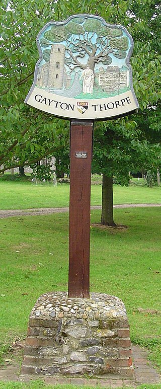
Gayton Thorpe is a village and former civil parish, now in the parish of Gayton, in the King's Lynn and West Norfolk district, in the county of Norfolk, England. The village is located 7.1 miles (11.4 km) south-east of King's Lynn and 31 miles (50 km) north-west of Norwich. In 1931 the parish had a population of 136.

West Lexham is a village and former civil parish, now in the parish of Lexham, in the Breckland district, in the county of Norfolk, England. It is 5.9 miles (9.5 km) north of the town of Swaffham, 30.6 miles (49.2 km) west north west of Norwich and 105 miles (169 km) north east of London. In 1931 the parish had a population of 101. On 1 April 1935 the parish was abolished to form Lexham.

Intwood is a village and former civil parish, now in the parish of Keswick and Intwood, in the South Norfolk district, in the county of Norfolk, England, south west of Norwich. Its church, All Saints, is one of 124 extant round-tower churches in Norfolk. In 1931 the parish had a population of 54.

Saxlingham is a village and former civil parish, now in the parish of Field Dalling, in the North Norfolk district, in the county of Norfolk, England. It lies 13 miles (21 km) west of Cromer, 26 miles (42 km) north-west of Norwich, 3.6 miles (5.8 km) west of the town of Holt and 126 miles (203 km) north-east of London. In 1931 the parish had a population of 122.

Tatterford is a village and former civil parish, now in the parish of Tattersett, in the North Norfolk district, in the county of Norfolk, England. The village is 4.8 miles south west of the town of Fakenham, 30.3 miles north west of Norwich and 112 miles north north east of London. The nearest railway station is at Sheringham for the Bittern Line which runs between Sheringham, Cromer and Norwich. The nearest airport is Norwich International Airport. In 1931 the parish had a population of 66.
Buckenham is a small village in the civil parish of Strumpshaw, in the Broadland district, in the county of Norfolk, England, situated on the northern bank of the River Yare around 7 miles (11 km) south-east of Norwich. In 1931 the parish had a population of 128.

Moulton St Mary is a village and former civil parish, now in the parish of Beighton, in the Broadland district, in the county of Norfolk, England. It is about 2 miles south of Acle. The village has a garden centre and a car garage. In 1931 the parish had a population of 228.
Dunston is a village in the civil parish of Stoke Holy Cross, in the South Norfolk district, in the county of Norfolk, England. It is located in the valley of the River Tas between Stoke Holy Cross and Caistor St. Edmund, approximately 3 miles south of Norwich. It has a common which is popular with walkers. In 1931 the parish had a population of 63. On 1 April 1935 the civil parish was abolished and merged with Stoke Holy Cross.

South Raynham is a village and former civil parish, now in the parish of Raynham, in the North Norfolk district, in the county of Norfolk, England. It is situated on the A1065 road some 5 miles (8.0 km) SW of Fakenham. The River Wensum flows nearby. In 1931 the parish had a population of 94.

Kimberley is a village and civil parish in the South Norfolk district, in the county of Norfolk, England, situated about 3 miles (4.8 km) north-west of Wymondham, around the crossroads of the B1108 and B1135. The parish has an area of 9.33 km2 (3.60 sq mi) and had a total population of 121 in 52 households as of the 2001 census. The parish absorbed the parish of Carleton Forehoe on the 1 April 1935.

Reymerston is a village and former civil parish, now in the parish of Garvestone, Reymerston and Thuxton, in the Breckland district, in the county of Norfolk, England, six miles north west of Wymondham, six miles south east of Dereham, and a half mile south west of Thuxton. In 1931 the parish had a population of 220. The village retains a church, St. Peter, which has a weekly service and special events. One of the village's residents was Wing Commander Ken Wallis, who lived at Reymerston Hall. He built autogyros and constructed "Little Nellie" for the James Bond film You Only Live Twice. On the 1st of April 1935 the parish was merged with Thuxton to form "Garveston"; later the parish was renamed to "Garvestone, Reymerston and Thuxton".

Coston is a village and former civil parish, now in the parish of Brandon Parva, Coston, Runhall and Welborne, in the South Norfolk district, in the county of Norfolk, England. The village is divided from nearby Runhall by the River Yare. In 1931 the parish had a population of 33.

