
Laitse is a village in Saue Parish, Harju County in northern Estonia. Prior to the administrative reform of Estonian local governments in 2017, the village belonged to Kernu Parish.

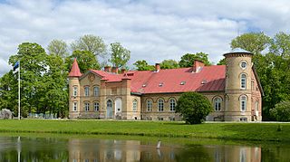
Ruila is a village in Saue Parish, Harju County in northern Estonia. Prior to the administrative reform of Estonian local governments in 2017, the village belonged to Kernu Parish.

Vihterpalu is a village in Lääne-Harju Parish, Harju County in northern Estonia.

Suuremõisa is a village in Hiiumaa Parish, Hiiu County in northwestern Estonia.

Purdi is a village in Paide municipality, Järva County in northern-central Estonia. Prior to the 2017 administrative reform of local governments, it was located in Paide Parish.

Roosna-Alliku is a small borough in Paide municipality, Järva County in northern-central Estonia. Prior to the 2017 administrative reform in Estonia of local governments, it was the administrative centre of Roosna-Alliku Parish.

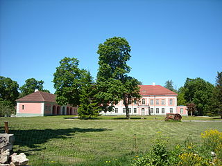
Kirna is a village in Türi Parish, Järva County in central Estonia.

Pürksi is a village in Lääne-Nigula Parish, Lääne County, in western Estonia.

Saare is a village in Lääne-Nigula Parish, Lääne County, in western Estonia.

Vohnja is a village in Kadrina Parish, Lääne-Viru County, in northeastern Estonia. It lies on the left bank of the Loobu River.
Lasila is a village in Rakvere Parish, Lääne-Viru County, in northeastern Estonia.
Rägavere is a village in Rakvere Parish, Lääne-Viru County, in northeastern Estonia.

Palmse is a village in Haljala Parish, Lääne-Viru County, in northern Estonia, on the territory of Lahemaa National Park.

Sagadi is a village in Haljala Parish, Lääne-Viru County, in northern Estonia, located within the territory of Lahemaa National Park.

Vihula is a village in Haljala Parish, Lääne-Viru County, in northern Estonia, within Lahemaa National Park.

Järlepa is a village in Rapla Parish, Rapla County, Estonia. It has an area of 10.02 km2 (3.87 sq mi) and a population of 206.
Maidla is a village in Rapla Parish, Rapla County in northwestern Estonia. Between 1991 and 2017 the village was located in Juuru Parish.

Kõljala is a village in Saaremaa Parish, Saare County in western Estonia.

Uuemõisa is a small borough in Haapsalu municipality, Lääne County, western Estonia, located just east of the town of Haapsalu. Prior to the 2017 administrative reform of local governments, Uuemõisa was the administrative centre of Ridala Parish. Uuemõisa has a population of 1,069.

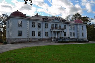
Kärstna is a village in Viljandi Parish, Viljandi County, Estonia. Until the 2017 administrative reform of Estonian municipalities the village was located in Tarvastu Parish.

