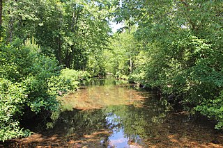
Salacoa Creek [1] is a stream in Bartow (Old Cass County) County, in northwestern Georgia, United States, that is a tributary of the Coosawattee River. [2] Its own tributaries include the Pine Log Creek.
The stream probably took its name from a Native American (Indian) village in the northwest part of Cherokee County. [3]

Bartow County is located in the northwestern part of the U.S. state of Georgia. As of the 2020 census, the population was 108,901, up from 100,157 in 2010. The county seat is Cartersville.
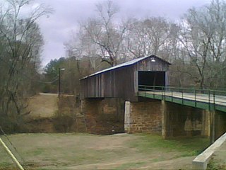
Euharlee is a city in Bartow County, Georgia, United States. The population was 4,136 at the 2010 census, an increase of 29% over the 2000 count of 3,208.

The Etowah River is a 164-mile-long (264 km) waterway that rises northwest of Dahlonega, Georgia, north of Atlanta. On Matthew Carey's 1795 map the river was labeled "High Town River". On later maps, such as the 1839 Cass County map, it was referred to as "Hightower River", a name that was used in most early Cherokee records.

Noonday Creek is a 20.2-mile-long (32.5 km) stream in Cobb and Cherokee counties in the U.S. state of Georgia. The stream begins near Kennesaw Mountain and ends at Lake Allatoona.

The Little River is a 29.3-mile-long (47.2 km) tributary of the Etowah River in the U.S. state of Georgia in the United States.

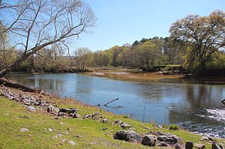
The Coosawattee River is a 49.3-mile-long (79.3 km) river located in northwestern Georgia, United States.

Willeo Creek is a 6.7-mile-long (10.8 km) stream in the U.S. state of Georgia, and is located in the north-northwestern part of metro Atlanta. It is a significant tributary of the Chattahoochee River, into which it flows at Bull Sluice Lake, just upstream from Morgan Falls Dam and downstream from the Chattahoochee Nature Center. Together, the two streams form nearly all of the county line between Fulton to the east and Cobb to the west.

Nancy Creek is a stream near Cartersville in Bartow County, Georgia, United States.

Connesena Creek is a stream in Bartow County, in the U.S. state of Georgia. It is a tributary to the Etowah River.
Oothkalooga Creek is a stream in the U.S. state of Georgia. It is a tributary to the Oostanaula River.

Pettit Creek is a stream in Bartow County, Georgia.
Pumpkinvine Creek is a stream in the U.S. state of Georgia. It is a tributary of the Etowah River.
Stamp Creek is a stream in the U.S. state of Georgia. It empties into Lake Allatoona.
Talking Rock Creek is a stream in the northwestern Georgia, United States, that is a tributary of the Coosawattee River.
Turniptown Creek is a stream in the U.S. state of Georgia. It is a tributary to the Ellijay River.
Amicalola Creek is a stream in the U.S. state of Georgia. It is a tributary to the Etowah River. Amicalola Falls, a tall waterfall on its course, lends its name to Amicalola Falls State Park.
Crane Eater Creek is a stream in Gordon County, Georgia, United States, that is a tributary of the Coosawattee River.
Level Creek is a stream in Gwinnett County in the U.S. state of Georgia. It is a tributary to the Chattahoochee River.
Mountaintown Creek is a stream in Gilmer County, Georgia, United States, that is a tributary of the Coosawattee River.
Pine Log Creek is a stream in the U.S. state of Georgia It begins in Cherokee County, flows northwesterly through Bartow County, and then ends in Gordon County as a tributary of Salacoa Creek. Little Pine Log Creek is a tributary that joins it in Gordon County.
34°33′01″N84°49′24″W / 34.55028°N 84.82333°W