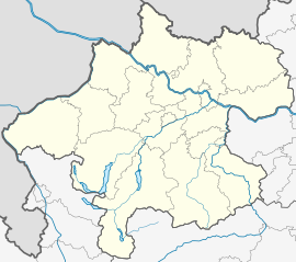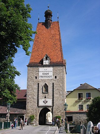
Freistadt is a small Austrian town in the state of Upper Austria in the region Mühlviertel. With a population of approximately 7,500 residents, it is a trade centre for local villages. Freistadt is the economic centre of a district of the same name District Freistadt. The nearest sizeable cities are Linz, the capital of Upper Austria, about 40 km in the south, and České Budějovice, the capital of Southern Bohemia, about 60 km in the north.
Reichenau is a municipality in the district of Feldkirchen in the Austrian state of Carinthia.
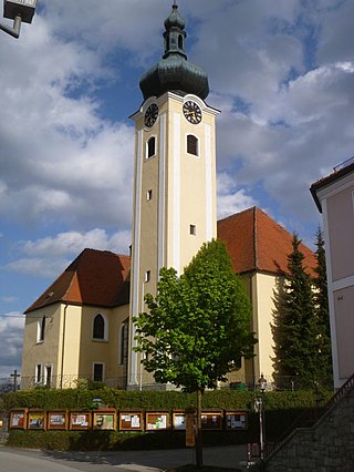
Bad Zell is a municipality in the district of Freistadt in the Austrian state of Upper Austria.

Hirschbach im Mühlkreis is a municipality in the district of Freistadt in the Austrian state of Upper Austria.

Kefermarkt is a municipality in the district of Freistadt in the Austrian state of Upper Austria. The church in Kefermarkt houses the late medieval Kefermarkt Altarpiece.

Königswiesen is a municipality in the district of Freistadt in the Austrian state of Upper Austria.
Leopoldschlag is a municipality in the district of Freistadt in the Austrian state of Upper Austria. It is located on the European continental divide between the watershed of the Elbe and the Danube, on the border with the Czech Republic.

Liebenau is a municipality in the district of Freistadt in the Austrian state of Upper Austria.

Neumarkt im Mühlkreis is a municipality in the district of Freistadt in the Austrian state of Upper Austria.
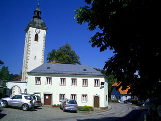
Pierbach is a municipality in the district of Freistadt in the Austrian state of Upper Austria.

Pregarten is a municipality in the district of Freistadt in the Austrian state of Upper Austria.

Rainbach im Mühlkreis is a municipality in the district of Freistadt in the Austrian state of Upper Austria.

Sankt Leonhard bei Freistadt is a municipality in the district of Freistadt in the Austrian state of Upper Austria.

Sankt Oswald bei Freistadt is a municipality in the district of Freistadt in Austrian state of Upper Austria.

Unterweißenbach is a municipality in the district of Freistadt in the Austrian state of Upper Austria.

Unterweitersdorf is a municipality in the district of Freistadt in the Austrian state of Upper Austria.
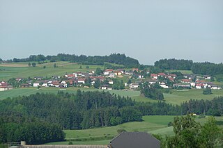
Waldburg is a municipality in the district of Freistadt in the Austrian state of Upper Austria.
Wartberg ob der Aist is a municipality in the district of Freistadt in the Austrian state of Upper Austria.

Windhaag bei Freistadt is a municipality in the district of Freistadt in the Austrian state of Upper Austria.

Hargelsberg is a municipality in the district Linz-Land in the Austrian state of Upper Austria.