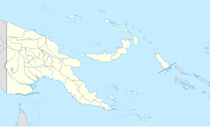
Port Moresby International Airport, also known as Jacksons International Airport, is an international airport located eight kilometres outside Port Moresby in Papua New Guinea. It is the largest and busiest airport in Papua New Guinea, with an estimated 1.4 million passengers using the airport in 2015, and is the main hub for Air Niugini, the national airline of Papua New Guinea. The airport serves as the main hub for PNG Air and Travel Air. It replaced the original Port Moresby airport, in what is now the suburb of Waigani, whose airstrip remained until the 1990s but no trace of which remains, having been built over.

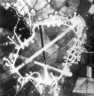
Royal Air Force Thurleigh or more simply RAF Thurleigh is a former Royal Air Force station located 5 miles (8.0 km) north of Bedford, Bedfordshire, England. Thurleigh was transferred to the United States Army Air Forces Eighth Air Force on 9 December 1942 and designated Station 111, and used for heavy bomber operations against Nazi Germany.

Marks Air Force Base is a former United States Air Force facility located two nautical miles (4 km) west of the central business district of Nome, a city in the Nome Census Area of the U.S. state of Alaska. It was named in honor of Major Jack S. Marks, a United States Army Air Forces pilot based at Ladd Army Airfield who died when his aircraft was shot down over the Aleutians in July 1942. Following its closure, it was redeveloped into Nome Airport.

Royal Air Force Beaulieu or more simply RAF Beaulieu is a former Royal Air Force station in the New Forest, Hampshire, England. It was also known as Beaulieu airfield, Beaulieu aerodrome and USAAF Station AAF 408. It is located on Hatchet Moor 1 mile (2 km) west of the village of East Boldre, about 2 miles (3 km) west-southwest of the village of Beaulieu and 4 miles (6 km) north-east of Lymington.

Batchelor Airfield, is an airport located south of Batchelor, Northern Territory, Australia. The airport currently has no commercial air services; however, it is utilised by the Northern Australian Gliding Club and the Alice Springs Aero Club as a flight training base.

Mareeba Airfield is an airfield located 4.3 nautical miles south of Mareeba, Queensland, Australia. Built in 1942 as a US Army Air Force base during World War II, the airfield had two runways, with a complement of taxiways, hardstands and a containment area. After the war, much of the airfield reverted to agricultural use, while the southern runway remains as an active airfield.

The V Fighter Command is a disbanded United States Air Force headquarters. It was established as the 2nd Interceptor Command in June 1941, with responsibility for air defense of the northwest United States and training fighter units in its area of responsibility. Shortly after the attack on Pearl Harbor, the Army formed Western Defense Command, with responsibility for the entire Pacific coast. All air defense functions were transferred to 4th Interceptor Command, and the command was slated for transfer to the Southwest Pacific Theater as 5th Fighter Command.
Wards Airfield is a former World War II airfield near Port Moresby, Papua New Guinea. The airfield was abandoned after the war and was developed into the Waigani area of Port Moresby.

Kila Airfield is a former World War II airfield near Port Moresby, Papua New Guinea. It was part of a multiple-airfield complex in the Port Moresby area, located north of Joyce Bay, three miles from the town of Port Moresby near the village of Kila Kila.
Berry Airfield is a former World War II airfield near Port Moresby, Papua New Guinea. It was part of a multiple-airfield complex in the Port Moresby area, located 12 miles (19 km) inland from Port Moresby.
Durand Airfield is a former World War II airfield near Port Moresby, Papua New Guinea. It was part of a multiple-airfield complex in the Port Moresby area, located 17 miles (27 km) from Port Moresby, to the north of the Waigani swamp.
Rogers Airfield is a former World War II airfield near Redscar Bay, Papua New Guinea. It was part of a multiple-airfield complex in the Port Moresby area, located 30 miles (48 km) north-west of Port Moresby by air, near Rorona.
Fishermans Airfield is a former World War II airfield near Port Moresby, Papua New Guinea. It was part of a multiple-airfield complex in the Port Moresby area, located offshore of Port Moresby. The island's name is derived from the names of the island's two villages - Dag and Ugo. It is also known as Fisherman's Island.
Carlsen Air Force Base is a former United States Army Air Forces World War II airbase on Trinidad, consisting of two landing strips, "Edinburgh" and "Xeres". The airbase also included an emergency landing strip, "Tobago".

Dalhart Army Air Base is a former World War II military airfield complex near the city of Dalhart, Texas. It operated three training sites for the United States Army Air Forces from 1943 until 1945.

Lakeland Army Airfield, was a World War II United States Army Air Force located 5.3 miles southwest of Lakeland, Florida. From 1960 to 2017 it was Lakeland Linder Regional Airport. In 2017 it was renamed Lakeland Linder International Airport.

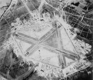
The Port Moresby Airfield Complex was a World War II military airfield complex, built near Port Moresby in the Territory of Papua and New Guinea. It was used during the Battle of New Guinea as a base of Allied air operations primarily in 1942 and early 1943. It later became a support base as the battle moved to the north and western part of New Guinea. It was closed and the facility turned over to civil authorities after the end of the War in September 1945.
Djedeida Airfield is an airfield in Tunisia, located approximately 10 km east-northeast of El Battan, and 30 km west of Tunis. The airfield was built prior to 1942 and used by the German Luftwaffe. It was raided by elements of the US 1st battalion of the 1st Armored Regiment on 25 November 1942, but the US forces were forced to withdraw due to lack of infantry support. It continued operations under the Germans until seized by the American II Corps on 8 May 1943. After being repaired by Army engineers, it was used by the United States Army Air Force Twelfth Air Force during the North African Campaign. Units known to be assigned to the facility were:

The 340th Expeditionary Air Refueling Squadron is a provisional United States Air Force unit. It is assigned to the 379th Expeditionary Operations Group at Al Udeid Air Base, Qatar. It has supported combat operations in Afghanistan, Iraq, and Syria from this location.

During the Second World War, Allied logistics in Papua played a crucial role in bringing the Kokoda Track campaign to a successful conclusion. "The great problem of warfare in the Pacific", General Douglas MacArthur declared, "is to move forces into contact and maintain them. Victory is dependent upon solution to the logistic problem."


