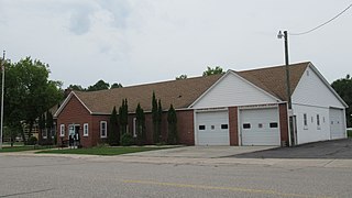
Newton County is a county located in the U.S. state of Mississippi. As of the 2020 census, the population was 21,291. Its county seat is Decatur.

Newton is a city in Middlesex County, Massachusetts, United States. It is approximately 7 miles (11 km) west of downtown Boston, and comprises a patchwork of thirteen villages without a city center. It is home to the Charles River, Crystal Lake, and Heartbreak Hill, among other landmarks. It is served by several streets and highways, as well as the Green Line D branch run by the MBTA.

Newton Township is a civil township of Mackinac County in the U.S. state of Michigan. As of 2020, its population was 430.

Chunky is a town in Newton County, Mississippi, United States. The population was 344 at the 2000 census.

The Great Falls and Old Dominion Railroad (GF&OD) was an interurban trolley line that ran in Northern Virginia during the early 20th century.

Mississippi Highway 15 is a state highway in Mississippi. At almost 324 miles (521 km), it is the longest highway in the Mississippi Highway System. MS 15 is divided into two sections due to a large gap between Stone County and Perry County. The southern section begins at Interstate 10 (I-10) and I-110 in Biloxi and ends at a junction with MS 26 near Wiggins, and the northern section begins at a junction with U.S. Route 98 near Beaumont and ends as a continuation as SR 125 near Walnut. It serves a total of 15 counties.

Mississippi Highway 21 is a state highway in central Mississippi. It runs from north to south for 80.3 miles (129.2 km) and serves six counties: Scott, Leake, Newton, Neshoba, Kemper, and Noxubee.
Fair Oaks is an unincorporated community in Union Township, Jasper County, Indiana.

Peoria is an unincorporated community in Liberty Township, Union County, Ohio, United States. It is located at 40°18′50″N83°26′45″W, along Raymond Road, about 1.75 miles south of Raymond and 6.5 miles northwest of Marysville.

Scott is a census-designated place and unincorporated community located in Bolivar County, Mississippi, United States on Mississippi Highway 1. Scott is approximately 5 miles (8.0 km) north of Lamont and approximately 7 miles (11 km) south of Benoit.

Duffee is an unincorporated community located in Newton County, Mississippi, United States. Duffee is approximately 6.3 miles (10.1 km) east-southeast of Little Rock south of Mississippi Highway 494.

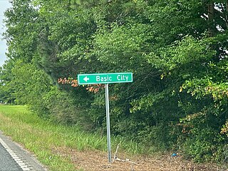
Basic is an unincorporated community in Clarke County, Mississippi, United States.

Stratton is an unincorporated community located in Newton County, Mississippi, United States.

Mississippi Highway 489 is a state highway that runs for 22.215 miles (35.752 km) in the eastern part of the US state of Mississippi. The route's south end begins at U.S. Route 80 (US 80) in the Scott County portion of Lake. It almost immediately crosses into Newton County and runs to Conehatta. Following this, MS 489 continues northeast to its terminus at MS 492 in Union. The route, which is also partially designated as the Jason Boyd Memorial Highway, was first established in 1956, and it became fully paved in 1965.

Point is an unincorporated community in Lauderdale County, Mississippi, United States. Its ZIP code is 39323.

Battlefield is an unincorporated community located in Newton County, Mississippi United States. Its zip code is 39325.

Perdue is an unincorporated community located in Newton County, Mississippi, United States. Its ZIP Code is 39337.

Mississippi Highway 503 (MS 503) is a 41-mile-long (66 km) state highway in eastern Mississippi running from MS 528 near its junction with Interstate 59 (I-59) outside of Heidelberg to MS 15 in Decatur. The highway has been in existence since 1951 and became designated MS 503 by 1955.

Mississippi Highway 492 (MS 492) is a state highway in central Mississippi that consists of two separate segments. The western segment runs in the vicinity of Walnut Grove and Golden Memorial State Park. The eastern segment runs much longer and travels from Sebastopol to House, Neshoba County.


