
Weiden an der March is a municipality in the district of Gänserndorf in Lower Austria, Austria.
Ardagger is a town in the district of Amstetten in Lower Austria in Austria.
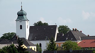
Neustadtl an der Donau is a town in the district of Amstetten in Lower Austria in Austria.

Zeillern is a town in the district of Amstetten in Lower Austria in Austria.
Haslau-Maria Ellend is a municipality in the district of Bruck an der Leitha in Lower Austria in Austria.

Sommerein is a town in the district of Bruck an der Leitha in Lower Austria in Austria.

Prellenkirchen is a town in the district of Bruck an der Leitha in Lower Austria in Austria.

Jedenspeigen is a town in the district of Gänserndorf in the Austrian state of Lower Austria.

Raasdorf is a town in the district of Gänserndorf in the Austrian state of Lower Austria.
Spannberg is a town in the district of Gänserndorf in the Austrian state of Lower Austria.

Ravelsbach is a municipality in the district of Hollabrunn in Lower Austria, Austria.

Straning-Grafenberg is a municipality in the district of Horn in Lower Austria, Austria.

Ober-Grafendorf is a municipality in the district of Sankt Pölten-Land in the Austrian state of Lower Austria.
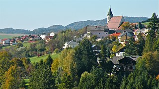
Rabenstein an der Pielach is a municipality in the district of Sankt Pölten-Land in Lower Austria, Austria.

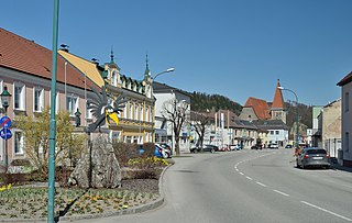
Traismauer is a municipality in the district of Sankt Pölten-Land in Lower Austria, Austria. It was established by the Romans, probably on a location of prior settlements. Some Roman buildings survive to this day.

Bad Erlach is a municipality in the district of Wiener Neustadt-Land in the Austrian state of Lower Austria.

Walpersbach is a municipality in the district of Wiener Neustadt-Land in the Austrian state of Lower Austria.
Bad Kreuzen is a municipality in the district Perg in the Austrian state of Upper Austria.
Dimbach is a municipality in the district Perg in Upper Austria, Austria. It had a population of 1015 according to the 2015 census.

Waldhausen im Strudengau is a municipality in the district of Perg in the Austrian state of Upper Austria.


