
Neubiberg is a municipality south-east of Munich, Germany, founded in 1912. It used to have an airport that was used as a Luftwaffe-base in the Third Reich and after the war as a U.S. airbase and in the following years as the German Air Force officer school. Today the largest part of the area is used by Bundeswehr University Munich. Neubiberg consists mainly of semi-detached and detached houses and has many gardens. The village of Unterbiberg is part of the municipality. It hosts the headquarters of Infineon Technologies (Campeon) located in the west of Unterbiberg as well as the headquarters of Intel Deutschland GmbH, a wireless semiconductor business.

Warngau is a municipality in the Miesbach District of Bavaria, Germany. It is located at 47°50′N11°44′E and has a population of 3,489. During the Nazi period, Warngau was falsely proclaimed to be the birthplace of Heinrich Himmler in order to obtain more support from rural voters; Himmler was actually born just outside Munich.

Benediktbeuern is a municipality in the district of Bad Tölz-Wolfratshausen in Bavaria, Germany, 2 kilometers, or 1.25 miles from Bichl. The village has 3,602 residents as of 31 December 2019.

Karlsfeld is a municipality in the district of Dachau, in Bavaria, Germany. During World War II, it was the location of a subcamp of Dachau concentration camp.

Neufahrn bei Freising is a municipality in the district of Freising, in Bavaria, Germany. It has about 20,000 inhabitants and is located near the river Isar, 12 km southwest of Freising and 20 km northeast of Munich.
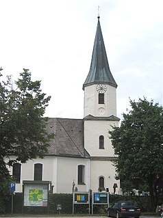
Gräfelfing is a municipality in the district of Munich, in Bavaria, Germany. It is located 1 km west of Munich.
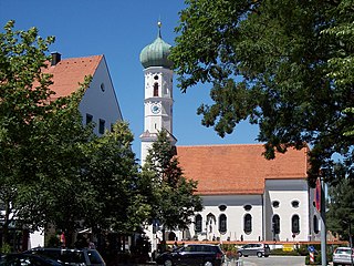
Kirchheim bei München is a municipality in the district of Munich, in Bavaria, Germany. It is located 14 km east of Munich (centre). As of 2020 it has a population of 12,787.
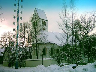
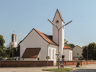
Höhenkirchen-Siegertsbrunn is a municipality in Upper Bavaria, situated south of Munich. It is one of the municipalities with the longest names in Germany, the longest being Hellschen-Heringsand-Unterschaar.

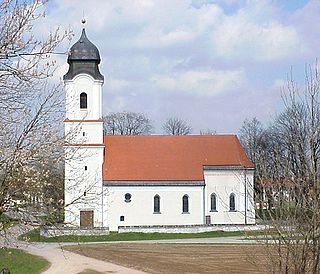
Feldkirchen is a municipality in the district of Munich, Bavaria, Germany. It is located 10 km east of Munich and has 5,987 inhabitants. Feldkirchen was first mentioned in a document dated 853.

Oberau is a municipality in the district of Garmisch-Partenkirchen, in Bavaria, Germany.

Rottach-Egern is a municipality and town located at Lake Tegernsee in the district of Miesbach in Upper Bavaria, Germany, about 35 miles south of central Munich. Late Austrian actor Walter Slezak is buried in this area.

Baierbrunn is a municipality in the district of Munich in the south-German state Bavaria. It is located between Schäftlarn and Pullach on the Bundesstraße 11 and consists of the two villages Baierbrunn and Buchenhain. Baierbrunn has a stop on the S7 of the Munich S-Bahn.
Brunnthal is a municipality in the district of Munich in Bavaria in Germany.

Grasbrunn is a municipality in the district of Munich in Bavaria in Germany.

Hohenbrunn is a municipality in the district of Munich in Bavaria, Germany.
Putzbrunn is a town in the district of Munich, Bavaria in Germany.
Sauerlach is a municipality in the district of Munich in Bavaria in Germany.

Straßlach-Dingharting is a municipality in the district of Munich in Bavaria in Germany.

Oy-Mittelberg is a municipality in the rural district Oberallgäu in Bavaria/Germany.

Neuried is a municipality in the district of Munich in Bavaria in Germany.


