
North Philipsburg is an unincorporated community and census-designated place (CDP) in Centre County, Pennsylvania, United States. It is part of the State College, Pennsylvania Metropolitan Statistical Area. The population was 660 at the 2010 census.

Graham Township is a township in Clearfield County, Pennsylvania, United States. The population was 1,329 at the 2020 census. The township is located approximately 87.9 miles (141km) northwest of the state capitol, Harrisburg.

Hyde is an unincorporated community and census-designated place (CDP) in Clearfield County, Pennsylvania, United States. The population was 1,303 at the 2020 census.
Plymptonville is a census-designated place (CDP) in Clearfield County, Pennsylvania, United States. The population was 972 at the 2020 census.
Sandy is a census-designated place (CDP) in Clearfield County, Pennsylvania, United States. The population was 1,362 at the 2020 census.
Landisville is an unincorporated community and census-designated place (CDP) in East Hempfield Township, Lancaster County, Pennsylvania, United States. As of the 2010 census the population was 1,893. The community was once part of the Salunga-Landisville CDP, before splitting into two separate CDPs for the 2010 census, the other being Salunga.
East Earl is an unincorporated community and census-designated place (CDP) in East Earl Township, Lancaster County, Pennsylvania, United States. As of the 2010 census it had a population of 1,144.
Falmouth is an unincorporated community and census-designated place (CDP) in Conoy Township, Lancaster County, Pennsylvania, United States. As of the 2010 census the population was 420, but the 2020 census shows that the population has decreased to 397.

Goodville is an unincorporated community and census-designated place (CDP) in East Earl Township, Lancaster County, Pennsylvania, United States. As of the 2010 census the population was 482.
Kersey is an unincorporated community and census-designated place in Fox Township, Elk County, Pennsylvania, United States. As of the 2010 census the population was 937.
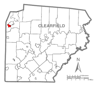
Allport is a census-designated place located in Morris Township, Clearfield County, in the state of Pennsylvania. As of the 2020 census the population was 230.
Bigler is a census-designated place located in Bradford Township, Clearfield County in the state of Pennsylvania. As of the 2020 census, the population was 356.
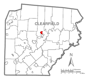
Grassflat is a census-designated place located in Cooper Township, Clearfield County, in the state of Pennsylvania. As of the 2020 census, the population was 479.
Hawk Run is a census-designated place located in Morris Township, Clearfield County, in the state of Pennsylvania. As of the 2020 census the population was 474.
Morrisdale is a census-designated place located in Morris Township, Clearfield County, in the state of Pennsylvania. As of the 2020 census the population was 684.
Oklahoma is a census-designated place located in Sandy Township, Clearfield County, in the state of Pennsylvania. As of the 2020 census the population was 759. It is bordered to the northwest by the city of DuBois.
Clay is an unincorporated community and census-designated place (CDP) in Clay Township, Lancaster County, Pennsylvania, United States. It is located along U.S. Route 322 between Brickerville and Ephrata. As of the 2010 census the population was 1,559.
Casanova is an unincorporated community and census-designated place (CDP) in Centre County, Pennsylvania, United States. It was first listed as a CDP prior to the 2020 census.
Clintondale is an unincorporated community and census-designated place (CDP) in Clinton County, Pennsylvania, United States. It was first listed as a CDP prior to the 2020 census.
Clearfield Colony is a Hutterite colony and census-designated place (CDP) within the Yankton Indian Reservation in Charles Mix County, South Dakota, United States. It was first listed as a CDP prior to the 2020 census. The population of the CDP was 99 at the 2020 census.

