West Liberty is a borough in Butler County, Pennsylvania, United States. The population was 343 at the 2010 census.

East Side is a borough in Carbon County, Pennsylvania, United States. The population was 317 at the 2010 census.
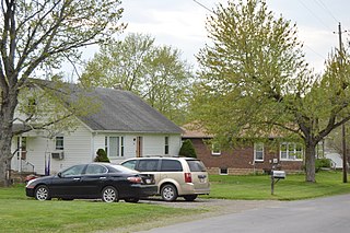
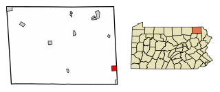
Troutville is a borough in Clearfield County, Pennsylvania, United States. The population was 230 at the 2020 census.

Jermyn, known as "The Birthplace of First Aid in America", is a borough in Lackawanna County, Pennsylvania, on the Lackawanna River, 12 miles (19 km) northeast of Scranton. A productive anthracite coal field was in the region in 1900 when 2,567 people lived here. In 1910, 3,158 residents of Jermyn were tallied. In the early years of the twentieth century, coal mines, cut glass works, silk, powder, grist, planing, and saw mills, bottling works, and fertilizer factories dotted the borough. The population was 2,156 at the 2020 census. Jermyn is the mailing address of the Lakeland School District. East Jermyn, the section of town east of the Lackawanna River and west of the small section of Archbald known as "Nebraska", is commonly referred to as "Calico Lane" or "The Lane". Jermyn was incorporated as a borough in 1870 and celebrated its centennial in 1970 with a week-long celebration.

Mayfield is a borough in Lackawanna County, Pennsylvania, United States, approximately 14 miles (23 km) northeast of Scranton. In the past, it contained a silk mill and a coal mining industry. The population was 1,763 at the 2020 census.

Fountain Hill is a borough in Lehigh County, Pennsylvania. The population of Fountain Hill was 4,832 at the 2020 census, an increase from 4,597 at the 2010 census. It is part of the Lehigh Valley metropolitan area, which has a population of 861,899 and is the 68th most populated metropolitan area in the U.S. as of the 2020 census.
Ashley is a borough in Luzerne County, Pennsylvania, one mile (2 km) from Wilkes Barre. The population was 2,588 at the 2020 census.
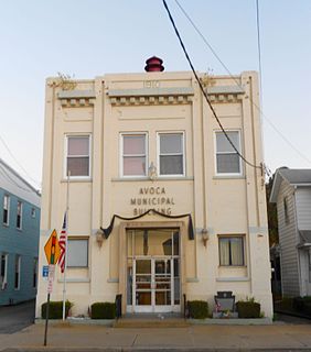
Avoca is a borough within the Greater Pittston area of Luzerne County, Pennsylvania. It is located 7.5 miles (12.1 km) northeast of Wilkes Barre and 3.4 miles (5.5 km) southwest of Scranton. The population was 2,501 at the time of the 2020 census. The Wilkes-Barre/Scranton International Airport (AVP) is located near Avoca.

Bear Creek Village is a borough in Luzerne County, Pennsylvania, United States. The population was 290 at the 2020 census.

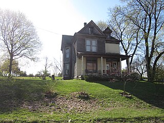
Dallas is a borough in Luzerne County, Pennsylvania, United States. The population was 2,692 at the 2020 census. The local government describes the borough as the "Pride" of the Back Mountain. The area includes the townships of Dallas, Franklin, Jackson, Kingston, Lake, and Lehman. The region also includes the boroughs of Dallas and Harveys Lake. Dallas is in the vicinity of Misericordia University and Dallas State Correctional Institution.

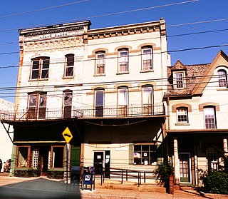
Dupont is a borough in the Greater Pittston area of Luzerne County, Pennsylvania, United States. The population was 2,536 as of the 2020 census.

Edwardsville is a borough in Luzerne County, Pennsylvania, United States. The population was 4,918 at the 2020 census.

Larksville is a borough in Luzerne County, Pennsylvania, United States. It is 2 miles (3 km) west of Wilkes Barre on the Susquehanna River. The population was 4,216 as of the 2020 census.

Laurel Run is a borough in Luzerne County, Pennsylvania, United States. The population was 560 at the 2020 census.

Penn Lake Park is a borough in Luzerne County, Pennsylvania, United States. The population was 359 at the 2020 census.

Oakland is a borough in Susquehanna County, Pennsylvania, United States. The population of Oakland borough was 564 at the 2020 census.

Thompson is a borough in Susquehanna County, Pennsylvania, United States. The population was 255 at the 2020 census.
Union Dale is a borough in Susquehanna County, Pennsylvania, United States. The borough was incorporated in 1885. Union Dale's population was 267 at the 2010 census.

Canaan is a second-class township in Wayne County, Pennsylvania, United States. The township's population was 3,963 at the time of the 2010 United States Census.

Prompton is a borough in Wayne County, Pennsylvania, United States. The population was 250 at the 2010 census.


