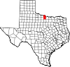
Clay County is a county located in the U.S. state of Texas. As of the 2020 census, its population was 10,218. The county seat is Henrietta. The county was founded in 1857 and later organized in 1860. It is named in honor of Henry Clay, famous American statesman, Kentucky Senator and United States Secretary of State.
Knox County is a county located in the U.S. state of Texas. As of the 2020 census, its population was 3,353. Its county seat is Benjamin. The county was created in 1858 and later organized in 1886. It is named for Henry Knox, an American Revolutionary War general.

Hopkins County is a county located in the U.S. state of Texas. As of the 2020 census, its population was 36,787. Its county seat is Sulphur Springs. Hopkins County is named for the family of David Hopkins, an early settler in the area. Hopkins County comprises the Sulphur Springs, TX Micropolitan Statistical Area. Hopkins County was once known as the Dairy Capital of Texas. Although dairy farms declined in the area in the late 1990s there are still a number of these located there. The Southwest Dairy Museum is located in Sulphur Springs.

Fannin County is a county in the far northeast of the U.S. state of Texas, on the border with Oklahoma. As of the 2020 census, its population was 35,662. The county seat is Bonham.

Barnesville is a city in Clay County, Minnesota, United States. The population was 2,759 at the 2020 census.
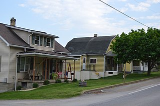
Petrolia is a borough in Butler County, Pennsylvania, United States. The population was 212 at the 2010 census.
Bellevue is a city in Clay County, Texas, United States. It is part of the Wichita Falls metropolitan statistical area. The population was 362 at the 2010 census.
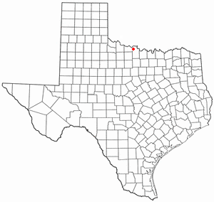
Dean is a city in Clay County, Texas, United States. It is part of the Wichita Falls, Texas Metropolitan Statistical Area. The population was 493 at the 2010 census.
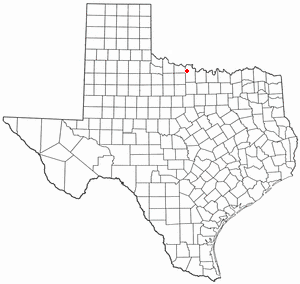
Jolly is a city in Clay County, Texas, United States. It is part of the Wichita Falls, Texas Metropolitan Statistical Area. The population was 172 at the 2020 census and 2010 census.

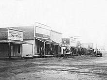
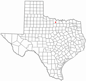
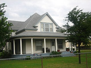
Petrolia is a city in Clay County, Texas, United States. It is part of the Wichita Falls, Texas Metropolitan Statistical Area. The population was 686 at the 2010 census, down from 782 at the 2000 census.

Weinert is a city in Haskell County, Texas, United States. The population was 172 at the 2010 census.

Malakoff is a city in Henderson County, Texas, United States. The population was 2,179 at the 2020 census. The city is named after a Russian fort of Malakoff, which played a pivotal role during the siege of Sevastopol during the Crimean War.

Hidalgo is a city in Hidalgo County, Texas, United States. The population was 11,198 at the 2010 census, and in 2019 the estimated population was 14,183.
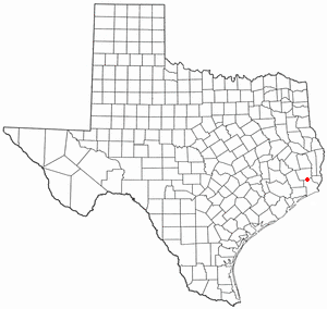
Bevil Oaks is a city in Jefferson County, Texas, United States. The population was 1,274 at the 2010 census. It is part of the Beaumont–Port Arthur Metropolitan Statistical Area.

Oak Ridge is a town in Kaufman County, Texas, United States. The population was 495 at the 2010 census, up from 400 at the 2000 census.
Escobares is a city in Starr County, Texas, United States. The population was 2,588 at the 2020 census. The city was formed in 2005 from part of the deleted Escobares CDP, and parts of Garceno, and North Escobares CDPs, and additional area. Prior to its 2005 incorporation as a city, it was a census-designated place (CDP). The population of the CDP was 1,954 at the 2000 census.

Los Alvarez is a census-designated place (CDP) in Starr County, Texas, United States. The population was 303 at the 2010 census, a decline from the figure of 1,434 tabulated in 2000.
Scotland is a city in Archer County in the U.S. state of Texas. It is part of the Wichita Falls, Texas Metropolitan Statistical Area. The population was 501 at the 2010 census. The town is named for its founder, Henry J. Scott.
Windthorst is a town in Archer County in the U.S. state of Texas. It is part of the Wichita Falls, Texas Metropolitan Statistical Area. The population was 409 at the 2010 census. The town is named for Ludwig Windthorst, a Catholic statesman in Germany.

The Wichita Falls metropolitan statistical area is a metropolitan area in North Texas that covers three counties – Archer, Clay, and Wichita. As of the 2010 census, the MSA had a population of 151,306.