Castle Island is an island in the San Juan Islands of Washington state in the United States. It is located just off the southern tip of Lopez Island.
The island, having a formidable look, was named Old Hundred Island by the U.S. Coast Survey of 1855. It was given its present, descriptive name, by the British on the British Admiralty chart of 1858–60. [1]
Littlefield Township is a civil township of Emmet County in the U.S. state of Michigan. The population was 2,978 at the 2010 census.
Marrowstone is a census-designated place (CDP) in Jefferson County, Washington, United States. The population was 844 at the 2010 census. All Marrowstone addresses are in Nordland, Washington, and the ZIP code for Marrowstone Island is 98358.
Goose Island is one of the San Juan Islands in San Juan County, Washington, United States.

Fidalgo Island is an island in Skagit County, Washington, located about 60 mi (97 km) north of Seattle. To the east, it is separated from the mainland by the Swinomish Channel, and from Whidbey Island to the south by Deception Pass. The island is named after the Spanish explorer and cartographer Salvador Fidalgo, who explored the area in 1790.
Possession Sound is part of Puget Sound, located in the U.S. state of Washington between Whidbey Island and the shoreline of Snohomish County approximately between the cities of Everett and Mukilteo. Possession Sound connects the main Puget Sound basin to the south with Saratoga Passage and Port Susan to the north. The Snohomish River flows into Possession Sound at Port Gardner Bay. Gedney Island, also called Hat Island, is located in Possession Sound.

Rosario Strait is a strait in northern Washington state, separating San Juan County and Skagit and Whatcom Counties. It extends from the Strait of Juan de Fuca about 23 kilometres (14 mi) north to the Strait of Georgia. The USGS defines its southern boundary as a line extending from Point Colville on Lopez Island to Rosario Head on Fidalgo Island, and its northern boundary as a line from Point Migley on Lummi Island to the east tip of Puffin Island and then to Point Thompson on Orcas Island. Rosario Strait runs north-south between Lopez, Decatur, Blakely, and Orcas Islands on the west, and Fidalgo, Cypress, Sinclair, and Lummi Islands on the east.
Skull Island is the name of two small islands in the San Juan Archipelago in the U.S. state of Washington. The northernmost Skull Island is located off the coast of Orcas Island in Massacre Bay, the most northern extension of the island's West Sound. It is identified as 3.2-acre (1.3 ha) Skull Island State Park Property by the Washington State Parks and Recreation Commission. It was named for holding skulls and bones of a band of Lummi who were killed by raiding Haida in 1858. Since 2013, it has been part of the San Juan Islands National Monument.
Frost Island is an island in the San Juan Islands of the U.S. state of Washington. The approximately 70-acre island has no public electric service or land-line telephone service. There is a water-taxi that runs between the island and Anacortes.
Colville Island is an island in the San Juan Islands of the U.S. state of Washington. It lies near Point Colville, on the southeastern tip of Lopez Island.
The Raccoon Strait is a waterway of the San Francisco Bay between Angel Island and the Tiburon Peninsula, mainland Marin County, California. During the ice ages, when sea levels were considerably lower and San Francisco Bay was a grassy valley, the combined Sacramento-San Joaquin river flowed through what is now Raccoon Strait before flowing through the canyon at the Golden Gate.
Port Susan is a bay and strait located in the U.S. state of Washington. Part of the Whidbey Island Basin of Puget Sound, Port Susan is bounded by Camano Island to the west and the mainland to the east. The Stillaguamish River empties into the northern end of Port Susan. To the south, Port Susan connects with the rest of Puget Sound via Possession Sound and Saratoga Passage. A swampy waterway connects the northern end of Port Susan with Skagit Bay. This waterway also separates Camano Island from the mainland.
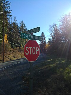
Snee Oosh is a populated place on Fidalgo Island in the U.S. state of Washington, on the Swinomish Indian Reservation. Population was reported as 302 in 1999.
Beach is an unincorporated community on Lummi Island in Whatcom County, in the U.S. state of Washington.
Cornet is an unincorporated community in Island County, in the U.S. state of Washington.
Coveland is an unincorporated community on Whidbey island in Island County, in the U.S. state of Washington.
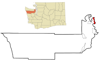
Islandale is an unincorporated community in San Juan County, in the U.S. state of Washington.
Mabana is an unincorporated community in Island County, in the U.S. state of Washington.
Victim Island is an island in San Juan County the U.S. state of Washington. The island lies just east of the Canadian maritime border between the City of Bellingham and Vancouver Island It is home to the Victim Island State Park.
The Nisqually Reach is a portion of Puget Sound south of the Tacoma Narrows, near the exit of the Nisqually River into the Sound. It is classified as a bay by the United States government. It was originally defined as "the portion of the Sound lying between Anderson Island and the mainland".
Coordinates: 48°25′16″N122°49′19″W / 48.42111°N 122.82194°W
| | This San Juan County, Washington state location article is a stub. You can help Wikipedia by expanding it. |