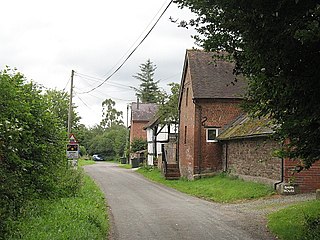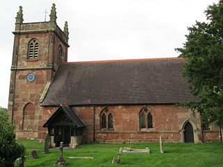
Atcham is a village, ecclesiastical parish and civil parish in Shropshire, England. It lies on the B4380, 5 miles south-east of Shrewsbury. The River Severn flows round the village. To the south is the village of Cross Houses and to the north-west the hamlet of Emstrey.

Shawbury is a village and civil parish in the English county of Shropshire. The village is 8.4 miles (13.5 km) northeast of the town of Shrewsbury, 11.5 miles (18.5 km) northwest of Telford and 163 miles (262 km) northwest of London.

Llanymynech is a village straddling the border between Montgomeryshire/Powys, Wales, and Shropshire, England, about 9 miles (14 km) north of the Welsh town of Welshpool. The name is Welsh for "Church of the Monks". The village is on the banks of the River Vyrnwy, and the Montgomery Canal passes through it.
Shropshire was established during the division of Saxon Mercia into shires in the 10th century. It is first mentioned in 1006. After the Norman Conquest it experienced significant development, following the granting of the principal estates of the county to eminent Normans, such as Roger De Montgomery and his son Robert de Bellême.

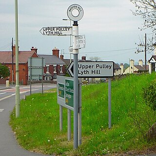
Bayston Hill is a large village and civil parish in central Shropshire, England. It is 3 miles (5 km) south of the county town Shrewsbury and located on the main A49 road, the Shrewsbury to Hereford road.

Minsterley is a village and civil parish in Shropshire, England. In the 2011 census, its population was 1,777. Minsterley lies one mile south-west of Pontesbury and 10 miles south-west of Shrewsbury. East from Minsterley along the A488, is the larger village of Pontesbury and to its south the hill range, the Stiperstones. The Rea Brook flows nearby and the smaller Minsterley Brook flows through the centre of the village.

All Stretton is a village and a now separate civil parish in Shropshire, England. Much of it is covered by a Conservation Area.

Longden is a village and civil parish in Shropshire, England. It is located 5 miles (8 km) southwest of Shrewsbury.

Melverley is a village in Shropshire, England, situated on the River Severn and the River Vyrnwy, near the Powys hills and the border with Wales. The population of the civil parish at the 2011 census was 156. The village, and the large rural area that surrounds it, was years ago famous for flooding from the nearby rivers but since the extensive defences being installed in Shrewsbury and improvements to the flood defences in and around the Melverley area flooding causes no problems for the majority of residents. It is a controlled flood area, meaning that water is allowed to flow across the open fields and held for a few hours until the river levels fall. Melverley Green is a small village to the north of Melverley.

Ashford Bowdler is a small village and civil parish in south Shropshire, England, near the county border with Herefordshire.

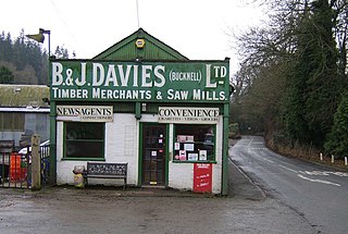
Bucknell is a village and civil parish in south Shropshire, England. The village lies on the River Redlake, within 660 yards (600 m) of the River Teme and close to the border of Wales and Herefordshire. It is about 6 miles (9.7 km) east of Knighton and is set within the Shropshire Hills Area of Outstanding Natural Beauty.

Chirbury is a village in west Shropshire, England. It is situated in the Vale of Montgomery, close to the Wales–England border, which is to its north, west and south. The A490 and B4386 routes cross at Chirbury.

Albrighton is a small village in the North Shropshire district of Shropshire, England. It is situated on the A528 Shrewsbury-Ellesmere road and is roughly 4.0 miles (6.4 km) north of Shrewsbury. After a history of being its own parish, it currently lies in the parish of Pimhill. According to the United Kingdom Census 2001, the parish population of Pimhill was 2008, with the number of these habiting in Albrighton being 273.

Harley is a village and civil parish in the English county of Shropshire. The population of the civil parish at the 2011 census was 163.

Weston-under-Redcastle is a small village and civil parish in Shropshire, England. It lies 10 km by road east of Wem. At one end of the village is the main entrance to Hawkstone Park hotel and golf courses, and at the other end is a wood. Weston was mentioned in the Domesday Book, and part of the 1989 BBC adaptation of Prince Caspian was filmed in the village. It is under the south west edge of the Hawkstone Ridge.

Moreton Corbet is a village in the civil parish of Moreton Corbet and Lee Brockhurst in Shropshire, England. The village's toponym refers to the Corbet baronets, the local landowners.

Rushbury is a village and civil parish in Shropshire, roughly five miles from Church Stretton and eight miles from Much Wenlock.

Sheinton is a small rural village and civil parish just outside Telford, and within Shropshire.

Donington is a hamlet and civil parish in Shropshire, England. It shares a parish council with the neighbouring parish of Boscobel, due to the latter's small population.

Caynham is a village and civil parish in south Shropshire, England. The parish lies on the River Teme. It can be accessed via the A4117 or the A49 roads and is located 2½ miles (4 km) southeast of the market town of Ludlow. The civil parish includes the village of Cleehill and has an area of 953 hectares.


