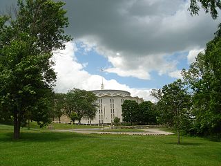
Sinsinawa is an unincorporated community in Grant County, Wisconsin, United States. The community is in the towns of Jamestown and Hazel Green, one mile north of the border with Illinois. The community is 7+1⁄2 miles (12.1 km) east of Dubuque, Iowa, and 6+1⁄2 miles (10.5 km) west of the village of Hazel Green, Wisconsin. The town is best known for being the mother house of the Sinsinawa Dominican Sisters.

Franklin Grove Township is one of twenty-two townships in Lee County, Illinois, USA. As of the 2000 census, its population was 1,472. Its name was changed from China Township in 1994.
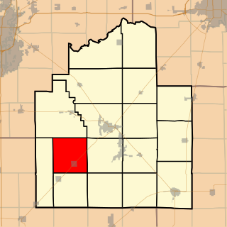
Bear Creek Township is one of seventeen townships in Christian County, Illinois, USA. As of the 2020 census, its population was 516 and it contained 227 housing units.

Pana Township is one of seventeen townships in Christian County, Illinois, USA. As of the 2020 census, its population was 6,031 and it contained 3,002 housing units.

Clarksdale is an unincorporated community in Washington Township, Brown County, in the U.S. state of Indiana.

Effner is an unincorporated community on the border of the U.S. states of Illinois and Indiana. It lies principally in Iroquois County, Illinois and partially in Newton County, Indiana.
Niota is an unincorporated community in Appanoose Township, Hancock County, in the U.S. state of Illinois. The community is located on the bank of the Mississippi River and is at the eastern end of the Fort Madison Toll Bridge, which connects Niota to Fort Madison, Iowa. Niota is the western terminus of Illinois Route 9 and is also served by Illinois Route 96, which is part of the Great River Road.
Bybee is a former settlement in Fulton County, Illinois, United States. The settlement was about 2.7 miles (4.3 km) south-southwest of Fairview and 8.3 miles (13.4 km) west-northwest of Canton.
Sabino is an unincorporated community in Quitman County, Mississippi. Sabino is east of Clarksdale and west of Lambert.
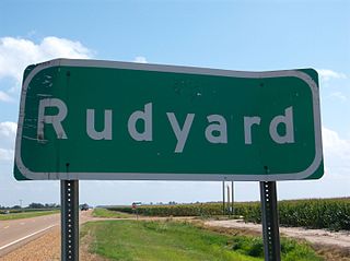
Rudyard is an unincorporated community located near U.S. Route 61 in Coahoma County, Mississippi, United States. Rudyard is 10 miles north of Clarksdale and two miles south of Coahoma along Old Highway 61 and is located on the former Yazoo and Mississippi Valley Railroad. A post office operated under the name Hillhouse from 1899 to 1956.
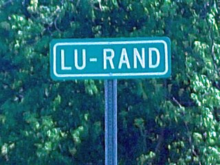
Lurand is an unincorporated community located on U.S. Route 49 in Coahoma County, Mississippi, United States. Lurand is 2 miles (3.2 km) south of Clarksdale.
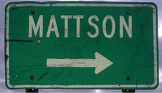
Mattson, also known as Earnest, is an unincorporated community located near U.S. Route 49 in Coahoma County, Mississippi, United States.
Baltzer is an unincorporated community located in northern Sunflower County, Mississippi. Baltzer is approximately 2 miles (3.2 km) south of Roundaway and 16 miles (26 km) south of Clarksdale at the intersection of Lombardy and New Africa Road near the Sunflower County/Coahoma County border.

Moon Lake is an unincorporated community located in Coahoma County, Mississippi, United States. Moon Lake is approximately 3 miles (4.8 km) south of Lula and approximately 4 miles (6.4 km) north of Coahoma.
Claremont, also known as Rose, is an unincorporated community located in Coahoma County, Mississippi, United States. Claremont is approximately 2 miles (3.2 km) north of Mattson and approximately 4 miles (6.4 km) south of Clarksdale. Claremont is located on the former Yazoo and Mississippi Valley Railroad. A post office operated under the name Rose from 1904 to 1905 and under the name Claremont from 1905 to 1932.
Roundaway is an unincorporated community located in Coahoma County, Mississippi, United States. Roundaway is approximately 14 miles (23 km) south of Clarksdale and 2 miles (3.2 km) north of Baltzer on New Africa Road. Roundaway is located on the former Yazoo and Mississippi Valley Railroad. A public school was once operated in Roundaway. A post office operated under the name Roundaway from 1905 to 1935.

Hopson is an unincorporated community located in Coahoma County, Mississippi, United States, south of Clarksdale and U.S. Route 61 along U.S. Route 49. Hopson is located on the former Yazoo and Mississippi Valley Railroad. A post office operated under the name Hopson from 1857 to 1867. In 1944 The Hopson Planting Company used International Harvester cotton pickers to harvest cotton, becoming the first farm to mechanically cultivate and produce an entire cotton crop. The former Hopson Plantation Company Store is now operated as a restaurant and music venue.

