
Derby is an unincorporated community and a census-designated place (CDP) located in and governed by Adams County, Colorado, United States. The CDP is a part of the Denver–Aurora–Lakewood, CO Metropolitan Statistical Area. The population of the Derby CDP was 8,407 at the United States Census 2020. The Commerce City post office serves the area.

Strasburg is an unincorporated town located just 30 minutes east of downtown Denver along the I-70 corridor. It is home to Strasburg School District 31-J, and there are several small businesses, medical clinics, and a post office. Strasburg is a census-designated place (CDP) located in and governed by Adams and Arapahoe counties, Colorado, United States. The CDP is a part of the Denver–Aurora–Lakewood, CO Metropolitan Statistical Area. The Strasburg post office has the ZIP Code 80136. At the United States Census 2020, the population of the Strasburg CDP was 3,307.
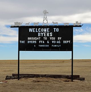
Byers is an unincorporated town, a post office, and a census-designated place (CDP) located in and governed by Arapahoe County, Colorado, United States. The CDP is a part of the Denver–Aurora–Lakewood, CO Metropolitan Statistical Area. The Byers post office has the ZIP Code 80103. At the United States Census 2020, the population of the Byers CDP was 1,322.
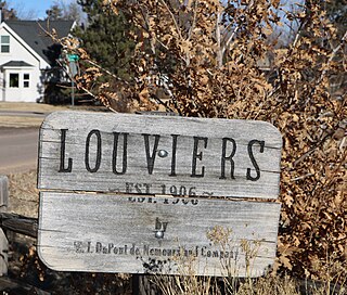
Louviers is an unincorporated town, a post office, and a census-designated place (CDP) located in and governed by Douglas County, Colorado, United States. The CDP is a part of the Denver–Aurora–Lakewood, CO Metropolitan Statistical Area. The Louviers post office has the ZIP Code 80131. At the United States Census 2020, the population of the Louviers CDP was 293.

Sedalia is an unincorporated town, a post office, and a census-designated place (CDP) located in and governed by Douglas County, Colorado, United States. The CDP is a part of the Denver–Aurora–Lakewood, CO Metropolitan Statistical Area. The Sedalia post office has the ZIP Code 80135. At the United States Census 2020, the population of the Sedalia CDP was 177.

Kittredge is an unincorporated town, a post office, and a census-designated place (CDP) located in and governed by Jefferson County, Colorado, United States. The CDP is a part of the Denver–Aurora–Lakewood, CO Metropolitan Statistical Area. The Kittredge post office has the ZIP code 80457. At the United States Census 2020, the population of the Kittredge CDP was 1,308.

The Town of Gilcrest is a Statutory Town located in Weld County, Colorado, United States. The town population was 1,029 at the 2020 United States Census. Gilcrest is a part of the Greeley, CO Metropolitan Statistical Area and the Front Range Urban Corridor.

The Town of LaSalle is a Statutory Town in Weld County, Colorado, United States. The town population was 2,359 at the 2020 United States Census.

Nunn is a Statutory Town in Weld County, Colorado, United States. The population was 504 at the 2020 census.

Pierce is a Statutory Town in Weld County, Colorado, United States. The population was 1,097 at the 2020 census. The town is a rural agricultural community located on the Colorado Eastern Plains along U.S. Highway 85 north of Greeley.

Severance is a Statutory Town in Weld County, Colorado, United States. The population was 7,683 at the 2020 census. The town is located on the Colorado Eastern Plains, northwest of Greeley, a crossroads of county roads.
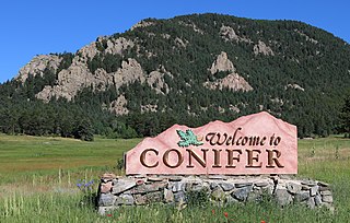
Conifer is an unincorporated community in Jefferson County, Colorado, United States. Conifer is located along U.S. Route 285 in the foothills west of Denver.

Watkins is an unincorporated town and a census-designated place (CDP) located in and governed by Arapahoe and Adams counties, Colorado, United States. The CDP is a part of the Denver–Aurora–Lakewood, CO Metropolitan Statistical Area. The town is surrounded by Aurora and its post office, which lies within the Aurora city limits, has the ZIP Code 80137. At the United States Census 2020, the population of the Watkins CDP was 682.

Eastlake is an unincorporated community and a U.S. Post Office in Adams County, Colorado, United States. The Eastlake Post Office has the ZIP Code 80614. Most of the Eastlake area has been annexed by the City of Thornton.
Galeton is an unincorporated community and U.S. Post Office in Weld County, Colorado, United States. The Galeton Post Office has the ZIP Code 80622.
Gill is an unincorporated community and a U.S. Post Office in Weld County, Colorado, United States. The Gill Post Office has the ZIP Code 80624.

Henderson, formerly known as Henderson Island, is an unincorporated community and a U.S. Post Office in Adams County, Colorado, United States. Henderson has the ZIP Code 80640. Portions of the Henderson area have been annexed by Commerce City, Brighton, and Thornton.
Lucerne is an unincorporated community and a U.S. Post Office in Weld County, Colorado, United States. The Lucerne Post Office has the ZIP Code 80646.

Roggen is an unincorporated community and a U.S. Post Office in Weld County, Colorado, United States. The Roggen Post Office has the ZIP Code 80652.
Sopris was an unincorporated community located in Las Animas County, Colorado, United States. The town is now under the surface of Trinidad Lake in Trinidad Lake State Park.

