This article needs additional citations for verification .(January 2013) |
Esperanza Halabangbaybay | |
|---|---|
| Municipality of Esperanza | |
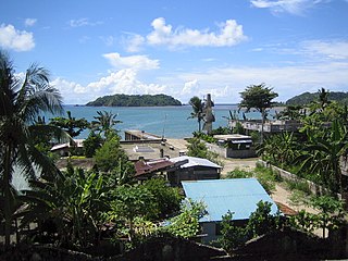
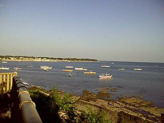
 Gawas Beach | |
 Flag | |
 Map of Masbate with Esperanza highlighted | |
OpenStreetMap  | |
 Esperanza Location within the Philippines | |
| Coordinates: 11°44′13″N124°02′30″E / 11.7369°N 124.0417°E | |
| Country | Philippines |
| Region | Bicol Region |
| Province | Masbate |
| District | 3rd district |
| Founded | May 7, 1959 [1] |
| Barangays | 20 (see Barangays) |
| Government | |
| • Type | Sangguniang Bayan |
| • Mayor | Fernando P. Talisic |
| • Vice Mayor | Rodolfo P. Pepito |
| • Representative | Wilton T. Kho |
| • Municipal Council | Members |
| • Electorate | 12,747 voters (2022) |
| Area | |
| • Total | 67.49 km2 (26.06 sq mi) |
| Elevation | 10 m (30 ft) |
| Highest elevation | 90 m (300 ft) |
| Lowest elevation | 0 m (0 ft) |
| Population (2020 census) [4] | |
| • Total | 17,534 |
| • Density | 260/km2 (670/sq mi) |
| • Households | 4,306 |
| Economy | |
| • Income class | 5th municipal income class |
| • Poverty incidence | 31.68 |
| • Revenue | ₱ 185.7 million (2020) |
| • Assets | ₱ 339.5 million (2020) |
| • Expenditure | ₱ 84.18 million (2020) |
| • Liabilities | ₱ 75.23 million (2020) |
| Service provider | |
| • Electricity | Masbate Electric Cooperative (MASELCO) |
| Time zone | UTC+8 (PST) |
| ZIP code | 5407 |
| PSGC | |
| IDD : area code | +63 (0)56 |
| Native languages | Cebuano Masbateño Tagalog |
Esperanza, officially the Municipality of Esperanza, is a 5th class municipality in the province of Masbate, Philippines. According to the 2020 census, it has a population of 17,534 people. [4]
Contents
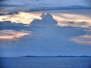
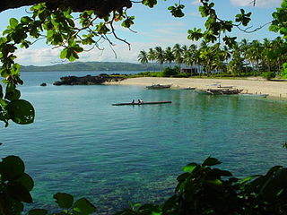
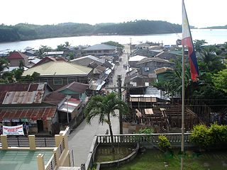
About 60% of the population lives along the coastline, most of whom are fishermen. It is about 4 hours travel south of Masbate City with some roads and highways still undeveloped.
Esperanza has several beaches, among them Gamay Na Baybay Beach, Talisay (Punta) Beach and Manok Manok Beach. Esperanza is a predominantly Cebuano speaking municipality, with a majority of its settlers tracing their ancestries from northern Cebu, particularly from Bogo. Esperanza is one of the four municipalities which are predominantly Cebuano speaking in the province of Masbate.