Georgetown, Carroll County, Illinois

Last updated
Georgetown, Illinois
Unincorporated community
USA Illinois location map.svg
Red pog.svg
Georgetown, Illinois
Usa edcp location map.svg
Red pog.svg
Georgetown, Illinois
Coordinates: 42°08′23″N89°49′43″W / 42.13972°N 89.82861°W / 42.13972; -89.82861 Coordinates: 42°08′23″N89°49′43″W / 42.13972°N 89.82861°W / 42.13972; -89.82861
Country United States
State Illinois
County Carroll
Elevation 909 ft (277 m)
Time zone Central (CST) (UTC-6)
  Summer (DST) CDT (UTC-5)
Area code(s) 815 & 779
GNIS feature ID 422732 [1]

Georgetown is an unincorporated community in Carroll County, Illinois, United States. Georgetown is located on Illinois Route 72 and Illinois Route 73, north of Lanark.

Carroll County, Illinois County in the United States

Carroll County is a county located in the U.S. state of Illinois. As of the 2010 census, the population was 15,387. Its county seat is Mount Carroll.

Illinois State of the United States of America

Illinois is a state in the Midwestern region of the United States. It has the fifth largest gross domestic product (GDP), the sixth largest population, and the 25th largest land area of all U.S. states. Illinois is often noted as a microcosm of the entire United States. With Chicago in northeastern Illinois, small industrial cities and immense agricultural productivity in the north and center of the state, and natural resources such as coal, timber, and petroleum in the south, Illinois has a diverse economic base, and is a major transportation hub. Chicagoland, Chicago's metropolitan area, encompasses over 65% of the state's population. The Port of Chicago connects the state to international ports via two main routes: from the Great Lakes, via the Saint Lawrence Seaway, to the Atlantic Ocean and from the Great Lakes to the Mississippi River, via the Illinois Waterway to the Illinois River. The Mississippi River, the Ohio River, and the Wabash River form parts of the boundaries of Illinois. For decades, Chicago's O'Hare International Airport has been ranked as one of the world's busiest airports. Illinois has long had a reputation as a bellwether both in social and cultural terms and, through the 1980s, in politics.

Illinois Route 72 is an east–west state road in northern Illinois. It runs from the intersection with Illinois Route 73 north of Lanark east to Illinois Route 43 in Chicago. This is a distance of 110.71 miles (178.2 km).

Related Research Articles

Vermilion County, Illinois County in the United States

Vermilion County is a county in the eastern part of the U.S. state of Illinois, between the Indiana border and Champaign County. It was established in 1826 and was the 45th of Illinois' 102 counties. According to the 2010 United States Census, it had a population of 81,625, a decrease of 2.7% in 2000. It contains 21 incorporated settlements; the county seat and largest city is Danville.

Georgetown, Illinois City in Illinois, United States

Georgetown is a city in Vermilion County, Illinois, United States. As of the 2010 census, the city population was 3,474. It is part of the Danville, Illinois Metropolitan Statistical Area.

Carroll Township, Vermilion County, Illinois Township in Illinois, United States

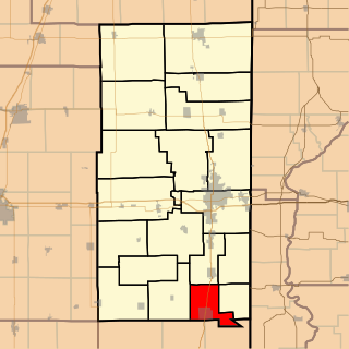
Carroll Township is a township in Vermilion County, Illinois, USA. As of the 2010 census, its population was 612 and it contained 263 housing units.

Catlin Township, Vermilion County, Illinois Township in Illinois, United States

Catlin Township is a township in Vermilion County, Illinois, USA. As of the 2010 census, its population was 3,300 and it contained 1,342 housing units.

Elwood Township, Vermilion County, Illinois Township in Illinois, United States

Elwood Township is a township in Vermilion County, Illinois, USA. As of the 2010 census, its population was 1,647 and it contained 718 housing units.

Georgetown Township, Vermilion County, Illinois Township in Illinois, United States

Georgetown Township is a township in Vermilion County, Illinois, USA. As of the 2010 census, its population was 7,901 and it contained 3,573 housing units.

Cherry Grove–Shannon Township, Carroll County, Illinois Township in Illinois, United States

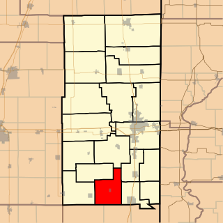
Cherry Grove-Shannon Township is one of twelve townships in Carroll County, Illinois, USA. As of the 2010 census, its population was 1,485 and it contained 799 housing units.

Rock Creek–Lima Township, Carroll County, Illinois Township in Illinois, United States

Rock Creek-Lima Township is one of twelve townships in Carroll County, Illinois, USA. As of the 2010 census, its population was 1,976 and it contained 933 housing units.

Fairhaven Township, Carroll County, Illinois Township in Illinois, United States

Fairhaven Township is one of twelve townships in Carroll County, Illinois, USA. As of the 2010 census, its population was 910 and it contained 421 housing units.

Mount Carroll Township, Carroll County, Illinois Township in Illinois, United States

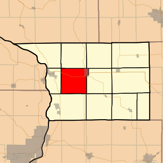
Mount Carroll Township is one of twelve townships in Carroll County, Illinois, USA. As of the 2010 census, its population was 2,279 and it contained 1,101 housing units.

Salem Township, Carroll County, Illinois Township in Illinois, United States

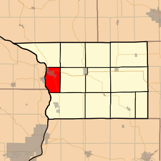
Salem Township is one of twelve townships in Carroll County, Illinois, USA. As of the 2010 census, its population was 348 and it contained 169 housing units.

Savanna Township, Carroll County, Illinois Township in Illinois, United States

Savanna Township is one of twelve townships in Carroll County, Illinois, USA. As of the 2010 census, its population was 3,729 and it contained 2,004 housing units.

Woodland Township, Carroll County, Illinois Township in Illinois, United States

Woodland Township is one of twelve townships in Carroll County, Illinois, USA. As of the 2010 census, its population was 280 and it contained 167 housing units.

Wysox Township, Carroll County, Illinois Township in Illinois, United States

Wysox Township is one of twelve townships in Carroll County, Illinois, USA. As of the 2010 census, its population was 1,366 and it contained 644 housing units.

York Township, Carroll County, Illinois Township in Illinois, United States

York Township is one of twelve townships in Carroll County, Illinois, USA. As of the 2010 census, its population was 1,734 and it contained 929 housing units.

Center Hill, Illinois Unincorporated community in Illinois, United States

Center Hill is an unincorporated community in Carroll County, Illinois, United States. Center Hill is located on U.S. Route 52 and Illinois Route 64, between Savanna and Mount Carroll.

Zier Cors, Illinois Unincorporated community in Illinois, United States

Zier Cors, or Zier Corners, is an unincorporated community in Carroll County, Illinois, United States. Zier Cors is located north of Lanark in Cherry Grove–Shannon Township, at the junction of Illinois Route 72 and Illinois Route 73.

Midway, Vermilion County, Illinois Unincorporated community in Illinois, United States

Midway is an unincorporated community in Georgetown Township, Vermilion County, Illinois, United States. Midway is located on Illinois Route 1, 1.8 miles (2.9 km) south of Westville.

Unionville, Vermilion County, Illinois Unincorporated community in Illinois, United States

Unionville is an unincorporated community in Georgetown Township, Vermilion County, Illinois, United States. Unionville is located on U.S. Route 150 and Illinois Route 1 along the southern border of Westville.

References