
Chuckery is an unincorporated community located in far southwestern Darby Township, Union County, Ohio, United States. It is located at 40°06′42″N83°23′26″W, at the intersection of State Routes 38 and 161.

Toronto is an extinct town in Helt Township, Vermillion County, in the U.S. state of Indiana. The site is near the Illinois and Indiana border.

Range is an unincorporated community in Range Township, Madison County, Ohio, United States. It is located at 39°43′55″N83°25′29″W, along Ohio State Route 323 between Chenoweth and Midway.
Lafayette is a census-designated place in the center of Deer Creek Township, Madison County, Ohio, United States. It is located at 39°56′15″N83°24′24″W, along U.S. Route 40, just west of its intersection with U.S. Route 42.
Rupert is an unincorporated community in Union Township, Madison County, Ohio, United States. It is located at 39°52′57″N83°21′12″W, at the intersection of Ohio State Route 665 and Glade Run Road, approximately four miles east of London.
Tradersville is an unincorporated community in Somerford Township, Madison County, Ohio, United States. It is located at 39°59′59″N83°29′55″W, at the intersection of Ohio State Route 187 and Tradersville-Brighton Road, about three miles north of Choctaw Lake.
Kiousville is an unincorporated community in southern Fairfield Township, Madison County, Ohio, United States. It is located at 39°47′50″N83°17′41″W, at the intersection of Kiousville-Georgesville Road and McKendree Road.
Pancoastburg is an unincorporated community and census-designated place (CDP) in Madison Township, Fayette County, Ohio, United States. It is located at 39°37′28″N83°15′56″W, along Ohio State Route 207, about 6 miles (10 km) south of Mount Sterling. As of the 2010 census the population of Pancoastburg was 87.
Cook is an unincorporated community in Madison Township, Fayette County, Ohio, United States. It is located at 39°40′59″N83°18′26″W, along Cook-Yankeetown Road, just west of its intersection with U.S. Route 62/State Route 3.
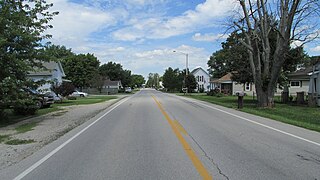
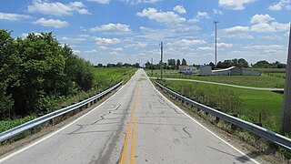
Chrisman is an unincorporated community in Oak Run Township, Madison County, Ohio, United States. It is located at 39°49′59″N83°22′22″W, at the intersection of London-Circleville Road and Gregg Mill Road, about four miles southeast of London.
Vera Cruz is an unincorporated community in Brown County, in the U.S. state of Ohio.
Dilles Bottom is an unincorporated community in Belmont County, in the U.S. state of Ohio.
Bridges is an unincorporated community in Highland County, in the U.S. state of Ohio.
Carmel is an unincorporated community in Highland County, in the U.S. state of Ohio.
Dodsonville is an unincorporated community in Highland County, in the U.S. state of Ohio.
Eber is an unincorporated community in Fayette County, in the U.S. state of Ohio.
Forgy is an unincorporated community in Clark County, in the U.S. state of Ohio.
Plano is an unincorporated community in Fayette and Ross counties, in the U.S. state of Ohio.
Samantha is an unincorporated community in Highland County, in the U.S. state of Ohio.
Sugar Tree Ridge is an unincorporated community in Highland County, in the U.S. state of Ohio.


