
Edwardstone is a village and civil parish in the Babergh district, in the county of Suffolk, England. The parish contains the hamlets of Mill Green, Priory Green, Round Maple and Sherbourne Street, and Edwardstone Woods, a Site of Special Scientific Interest. The parish touches Boxford, Great Waldingfield, Groton, Little Waldingfield, Milden and Newton.

Stanford Rivers is a village and civil parish in the Epping Forest district of Essex, England. The parish, which is approximately 11 miles (18 km) west from the county town of Chelmsford, contains the village of Toot Hill and the hamlet of Little End, both settlements larger than Stanford Rivers village, and the hamlet of Clatterford End. The village is 2.0 miles (3 km) south-east of Chipping Ongar, 3 miles (5 km) south-west of North Weald Bassett and 3 miles north-west of Kelvedon Hatch. The parish covers an area of 1,749 hectares.
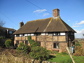
Blackstone is a hamlet in the civil parish of Woodmancote and the Horsham district of West Sussex, England. Blackstone is significant for its listed 17th- and 18th-century houses and cottages.
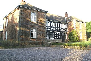
Chorley Old Hall is a moated manor house on the B5359 road to the southwest of Alderley Edge, Cheshire, England. The house is recorded in the National Heritage List for England as a designated Grade I listed building, and the moated site is a scheduled monument. It is the oldest inhabited country house in Cheshire and consists of two ranges, one medieval and the other Elizabethan.

Matching is a village and civil parish in the Epping Forest district of Essex, England centred in countryside 3 miles (4.8 km) east of Harlow's modern town centre and 2 miles (3.2 km) from Old Harlow/Harlow Mills area of the town. The terrain is elevated and London is centred 21.7 miles (34.9 km) to the southwest.

Matching Green is a village and the largest settlement in the civil parish of Matching, in Essex, England. It is 3.0 miles (4.8 km) east of Harlow, 4.5 miles (7.2 km) northwest of Chipping Ongar and 3.9 miles (6.3 km) south east of Sawbridgeworth.

Fiddlers Hamlet is a hamlet in the civil parish of Epping, within the Epping Forest District of Essex, England, and is 1 mile (1.6 km) south-east from the market town of Epping, separated by farm and fields. The M11 motorway runs 300 yards (274 m) to the east, with Junction 7 for Harlow being 4 miles (6 km) to the north.
Skye Green is a hamlet at the north the civil parish of Feering, and in the Braintree district of Essex, England. The hamlet is situated between the village of Feering, 1 mile to the south, and the Coggeshall hamlet of Surrex, 1⁄2 mile to the north. Nearby settlements include Langley Green, Broad Green and Stocks Green.

Littley Green is a hamlet in the civil parish of Great Waltham and the Chelmsford borough of Essex, England. The hamlet is at the extreme north of Great Waltham, with the nearest settlement the hamlet of Hartford End, less than 1 mile (2 km) west in the civil parish of Felsted.

Stagden Cross is a hamlet in the civil parish of High Easter, and the Uttlesford district of Essex, England. The hamlet is 1 mile (1.6 km) east from High Easter village.

Lawshall Green is a hamlet in the civil parish of Lawshall in the Babergh district in the county of Suffolk, England. It is located east of Hibb's Green and is less than half a mile off the A134 between Bury St Edmunds and Sudbury.

Hart's Green is a hamlet in the civil parish of Lawshall in the Babergh District in the county of Suffolk, England. It is located between Stanningfield and Hanningfield Green and is just over a mile off the A134 between Bury St Edmunds and Sudbury. The road that serves Hart's Green is known as Donkey Lane.

Fernhill is a hamlet close to Gatwick Airport in West Sussex, England. Its fields and farmhouses formerly straddled the county boundary between Surrey and West Sussex, but since 1990 the whole area has been part of the county of West Sussex and the borough of Crawley. Fernhill is bounded on three sides by motorways and the airport. A fatal aeroplane crash occurred here in 1969.
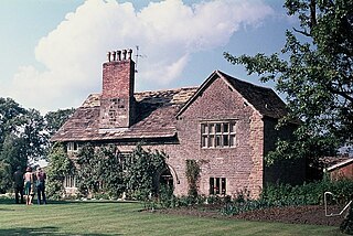
Mawdesley Hall is a country manor in Hall Lane, Mawdesley, Chorley, Lancashire, England. It consists of a central hall with two cross-wings. The central hall was built in the 17th century, its lower storey being timber-framed and its upper floor plastered and painted to resemble timber-framing. The cross-wings were added in the late 18th or early 19th century. The west wing is in sandstone, and the east wing is in brick with stone dressings. The hall is recorded in the National Heritage List for England as a designated Grade I listed building.

Newman's End is a hamlet in the civil parish of Matching, and the Epping Forest district of Essex, England.

Henny Street is a hamlet in the civil parish of Great Henny and the Braintree district of Essex, England. The hamlet is on Henny Road at the east of the parish and adjacent to the west bank of the River Stour.

Coopersale Street is a hamlet in the civil parish of Epping, within the Epping Forest District of Essex, England, and is 1,300 yards (1,000 m) east from the market town of Epping, separated by farm and fields. The M11 motorway runs 600 yards (500 m) to the east, with Junction 7 for Harlow being 3.5 miles (6 km) to the north.

Littlebury Green is a village in the civil parish of Littlebury and the district of Uttlesford in Essex, England.

Knowl Green is a hamlet in the civil parish of Belchamp St Paul and the Braintree district of Essex, England.

Pencombe with Grendon Warren is a civil parish in the county of Herefordshire, England. The parish was created in 1895 from the parishes of Pencombe and Grendon Warren, its only nucleated settlement being the village of Pencombe.

