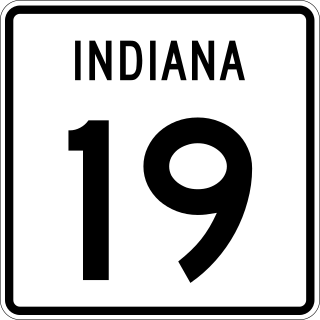
State Road 19 (SR 19) is a route on the Indiana State Highway System that runs between Noblesville and Elkhart in the US state of Indiana. The 143 miles (230.14 km) of Indiana SR 19 serve as a minor highway. Some of the highway is listed on the National Highway System. Various sections are urban four-lane highway and rural two-lane highway. The highway passes through farmland, residential and commercial properties. The northernmost community along the highway is Simonton Lake at the Michigan state line.

State Road 4 is an east–west discontinuous state road in the US state of Indiana. The western end of the western segment is in La Porte. The highway passes through rural areas of LaPorte and St. Joseph counties, before ending near Lakeville. The central segment starts at the eastern city limits of Goshen and heads east passing through rural Elkhart County, before ending at SR 13. The eastern segment runs between SR 327 and Interstate 69 (I-69), passing through the towns of Ashley. The state road runs through five counties in northern Indiana mostly through rural farm fields and small towns.

State Road 7 in the U.S. State of Indiana is located in southeast Indiana. It runs from northwest-to-southeast connecting the cities of Columbus and Madison.

State Road 51 in the U.S. state of Indiana is a north–south route on the state highway system in northwest Indiana. It consists of a route 9.56 miles (15.39 km) long from a point on U.S. Route 30 4 miles (6.4 km) east of Merrillville and 8 miles (13 km) west of Valparaiso, north to U.S. Route 20 in Gary. Immediately north of US 30, the highway is signed as the Adam Benjamin Highway.
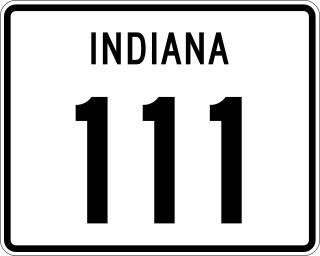
State Road 111 (SR 111) in the U.S. State of Indiana is a rural two-lane highway that runs between New Boston and New Albany in the far southern portion of the state. It has existed since 1935. Part of the highway was decommissioned in October 2012 and more was decommissioned in January 2013.

State Road 114 is an east–west state road, that consists of three discontinuous sections, in the northern part of the US state of Indiana. The western portion of SR 114 is just under 29 miles (47 km) long and is routed between U.S. Highway 41 and US 421. The central segment runs through rural Fulton County; it is approximately 5.8 miles (9.3 km) long and connects SR 17 at the west end with SR 25 at the east end. The eastern portion of SR 114 is just over 36 miles (58 km) long and is routed between SR 14 and US 24. SR 114 mostly passes rural agriculture land, but passes through a few towns and small cities.

State Road 115 is a State Road in the north section of the state of Indiana. Running for about 3 miles (4.8 km) in a general north–south direction, connecting rural portions of Wabash County. SR 115 was originally introduced in the early 1930s routed along its modern routing. The road became an intermediate road surface in the mid-1930s and it was upgraded to a high type of road surface shortly after. The southern end of SR 115 was moved north in the late 1970.
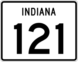
State Road 121 (SR 121) is a part of the Indiana State Road that exists in two sections. The first runs between Metamora and Connersville and the second from Richmond to the Ohio state line in US state of Indiana. The 19.52 miles (31.41 km) of SR 121 that lie within Indiana serve as a minor highway. None of the highway is listed on the National Highway System. The entire route is rural two-lane highway that passes through farmland, residential and commercial properties.
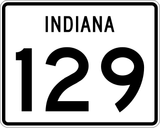
State Road 129 (SR 129) is a part of the Indiana State Road that runs between Vevay and Batesville in the US state of Indiana. The 31.78 miles (51.14 km) of SR 129 that lie within Indiana serve as a minor highway. Some of the highway is listed on the National Highway System. Various sections are urban two-lane highway and rural two-lane highway. The highway passes through residential and commercial properties.
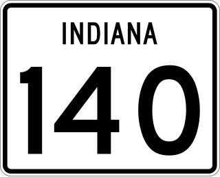
State Road 140 is a State Road in the eastern section of the state of Indiana. Running for about 2.25 miles (3.62 km) in a general north–south direction, connecting rural portions of Rush and Henry counties. SR 140 was originally introduced in 1932 to connect Indiana Soldiers and Sailors Orphans Home to US 40 in Knightstown. The road was paved by the late 1930s.

State Road 148 (SR 148) is a part of the Indiana State Road that runs between rural Dearborn County and Aurora in US state of Indiana. The 5.12 miles (8.24 km) of SR 148 that lie within Indiana serve as a minor highway. None of the highway is listed on the National Highway System. The whole road is a rural two-lane highway, passes through mostly woodlands. SR 148 was first designated as a state road in 1932. The highway replaced the original State Road 48 designation of the highway which dated back to 1926.

State Road 332 (SR 332) is a part of the Indiana State Road that runs between Interstate 69 (I–69) and Muncie in US state of Indiana. The 7.64 miles (12.30 km) of SR 332 that lie within Indiana serve as a minor highway. None of the highway is listed on the National Highway System. Various sections are rural four-lane divided highway and urban four-lane highway. The highway passes through farmland, residential and commercial properties.

State Road 933 (SR 933) is an Indiana State Road that runs between Elkhart and South Bend in US state of Indiana. The 16.83 miles (27.09 km) of SR 933 that lie within the state serve as a major conduit. None of the highway is listed on the National Highway System. Various sections are urban two-lane highway and urbanized four-lane divided highway. The highway passes through residential and commercial properties.
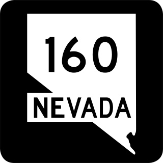
State Route 160 is a state highway in southern Nevada, United States. It connects the southern Las Vegas Valley to U.S. Route 95 northwest of the city via the Pahrump Valley. The southern part of the route sees heavy traffic, mostly due to Pahrump's continued growth as a Las Vegas bedroom community.

State Road 930 (SR 930) is an Indiana State Road that runs between Fort Wayne and New Haven in the US state of Indiana. The 12.97 miles (20.87 km) of SR 930 serve as a connection with U.S. Route 30 (US 30) through these two cities between the beginning of the concurrency with Interstate 69 (I-69) in Fort Wayne and the end of its concurrency with I-469 in New Haven. All of the highway is listed on the National Highway System. Various sections are urban two-lane highway, urbanized four-lane divided highway, and urbanized six-lane divided highway. The highway passes through industrial and commercial properties. SR 930 was designated in 1998, and replaced segments of US 30 in Fort Wayne and New Haven that were formerly part of the Lincoln Highway in the 1920s, as well as Coliseum Boulevard, which was designated as part of US 30 in the 1950s.

Interstate 65 (I-65) in the US state of Indiana traverses from the south-southeastern Falls City area bordering Louisville, Kentucky, through the centrally located capital city of Indianapolis, to the northwestern Calumet Region of the Hoosier State which is part of the Chicago metropolitan area. The Indiana portion of I-65 begins in Jeffersonville after crossing the Ohio River and travels mainly north, passing just west of Columbus prior to reaching the Indianapolis metro area. Upon reaching Indianapolis, the route alignment of I-65 begins to run more to the northwest and subsequently passes Lafayette on that city's east and north sides. Northwest of there, in west-central Jasper County, the route again curves more northward as it approaches the Calumet Region. Shortly after passing a major junction with I-80 and I-94, I-65 reaches its northern national terminus in Gary at I-90 which is carried on the Indiana East–West Toll Road. I-65 covers 261.27 miles (420.47 km) in the state of Indiana. This is one of the principal Interstate Highways that cross the state, and, more specifically, intersect at the city of Indianapolis, that has given the state the nickname of "Crossroads of America".

U.S. Route 50 (US 50) is a part of the United States Numbered Highway System that runs from West Sacramento, California, to Ocean City, Maryland. In the U.S. state of Indiana, it is part of the state road system. US 50 enters the state in Vincennes. The 171.38 miles (275.81 km) of US 50 that lie within Indiana serve as a major conduit. All of the highway is listed on the National Highway System. Various sections are rural two-lane highway, urbanized four-lane undivided highway and one-way streets. The easternmost community along the highway is Lawrenceburg at the Ohio state line. US 50 passes through urban areas, farmland and woodland.
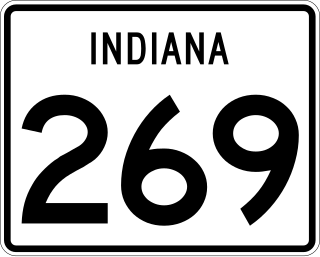
State Road 269 (SR 269) is a part of the Indiana State Road that runs through rural Posey County in US state of Indiana. The 0.89 miles (1.43 km) of SR 269 that lie within Indiana serve as a mirror highway. None of the highway is listed on the National Highway System. The whole length is a rural two-lane highway. The highway passes through farmland and woodland properties.

State Road 340 is a State Road in the west-central part of the U.S. state of Indiana. Running for just over 5.5 miles (8.9 km) in a general east–west direction and completely with in Clay County, along the Historic National Road. Both ends of SR 340 are at intersections with U.S. Highway 40, with the western end in Cloverland and the eastern end in Brazil. SR 340 was originally introduced in the late 1930s or early 1940s routed north of its modern routing. The road was moved to its modern routing in the 1960s.

U.S. Route 31 (US 31) is a part of the United States Numbered Highway System that runs from Spanish Fort, Alabama, to Mackinaw City, Michigan. It enters the U.S. state of Indiana via the George Rogers Clark Memorial Bridge between Louisville, Kentucky, and Clarksville, Indiana. The 266.02 miles (428.12 km) of US 31 that lie within Indiana serve as a major conduit. Some of the highway is listed on the National Highway System. Various sections are rural two-lane highway and urbanized four- or six-lane divided expressway. The northernmost community along the highway is South Bend near the Michigan state line.

