Pike County is a county in the southwest portion of the U.S. state of Indiana. As of the 2020 United States census, the population was 12,250. The county seat is Petersburg. It contains the geographic point representing median center of US population in 2010.

U.S. Route 35 (US 35) is a United States Highway that runs southeast-northwest for approximately 412 miles (663 km) from the western suburbs of Charleston, West Virginia to northern Indiana. Although the highway is physically southeast-northwest, it is nominally north–south. The highway's southern terminus is in Teays Valley, West Virginia, near Scott Depot, at Interstate 64 (I-64). Its northern terminus is near Michigan City, Indiana, at US 20. The West Virginia portion of the highway is mostly expressway, becoming a freeway shortly before it crosses the Ohio River into Ohio. The Ohio portion has been upgraded to a four-lane highway/freeway between the West Virginia state line and Trotwood, west of Dayton.

U.S. Route 42 is an east–west United States highway that runs southwest–northeast for 350 miles (560 km) from Louisville, Kentucky to Cleveland, Ohio. The route has several names including Pearl Road from Cleveland to Medina in Northeast Ohio, Reading Road in Cincinnati, Cincinnati and Lebanon Pike in southwestern Ohio and Brownsboro Road in Louisville. Traveling northeast, the highway ends in downtown Cleveland and traveling southwest ends in Louisville.

State Road 32 (SR 32) in the U.S. state of Indiana is an east–west state highway in central Indiana that crosses the entire state, covering a distance of about 157 miles (253 km). The western terminus of SR 32 is at the Illinois state line, southeast of Danville, Illinois, where the state highway becomes a county road. The eastern terminus is at Union City, Indiana, and Union City, Ohio, at the Ohio state border where the highway becomes Ohio State Route 47.
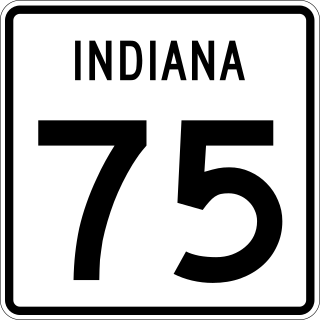
State Road 75, the highest two-digit route in the U.S. state of Indiana consists of two discontinuous north–south segments.
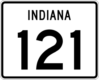
State Road 121 (SR 121) is a part of the Indiana State Road that exists in two sections. The first runs between Metamora and Connersville and the second from Richmond to the Ohio state line in US state of Indiana. The 19.52 miles (31.41 km) of SR 121 that lie within Indiana serve as a minor highway. No section of the highway is listed on the National Highway System. The entire route is rural two-lane highway that passes through farmland, residential and commercial properties.
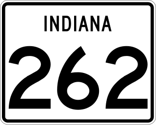
State Road 262 is a state road in the south-eastern section of the state of Indiana. Running for roughly 15 miles (24 km) in a general northwest-southeast direction, it connects the towns of Dillsboro and Rising Sun. SR 262 was originally introduced in the early-1930s routed between along its modern routing. The road was paved in the mid to late 1960s. The road serves as the eastern terminus of its primary route, Indiana 62 just east of Dillsboro.

State Road 356 in the U.S. state of Indiana consists of two segments, both in the southern portion of the state. The western segment is about 10 miles long, and the eastern segment is about 15 miles long.
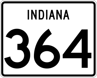
State Road 364 in the U.S. state of Indiana is a short four-mile (6 km) route in Pike County.

State Road 662 (SR 662) is a short east–west route that runs from Evansville toward Newburgh.

State Route 257 is a 26.19-mile (42.15 km) north - south state highway in the central portion of the U.S. state of Ohio. The highway's southern terminus is in the northwestern Columbus suburb of Dublin at a roundabout intersection with U.S. Route 33 and SR 161. This mainly two-lane highway follows the eastern side of the Scioto River from Dublin to its junction with US 42. After crossing over the river with the U.S. highway, SR 257 parallels the river's western bank. SR 257 has its northern terminus at a T-intersection with SR 47 on the western village limits of Prospect. SR 257 was created in 1926, and extended in 1935 and 1937.
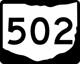
State Route 502 is an east–west state highway in western Ohio, a U.S. state. The western terminus of the highway is at the Indiana state line approximately six miles (9.7 km) south of Union City, with the road continuing into the Hoosier State being locally maintained Greenville Pike. The eastern terminus of the highway is in downtown Greenville at a traffic circle where it meets a conglomeration of four other state highways: SR 49, 118, 121 and 571.

State Route 762 is an east–west state highway in central Ohio, a U.S. state. The highway has its western terminus at a signalized intersection with the concurrency of U.S. Route 62 and SR 3 just 0.25 miles (0.40 km) south of the village limits of Harrisburg. SR 762's eastern terminus is at an intersection of Pickaway County Route 385 near the Rickenbacker International Airport.

Jefferson Township is one of nine townships in Pike County, Indiana, United States. As of the 2010 census, its population was 1,814 and it contained 825 housing units.
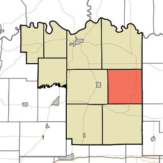
Marion Township is one of nine townships in Pike County, Indiana, United States. As of the 2010 census, its population was 724 and it contained 310 housing units.

Otwell is an unincorporated census-designated place in Jefferson Township, Pike County, in the U.S. state of Indiana.

Velpen is an census-designated place in southeastern Marion Township, Pike County, in the U.S. state of Indiana. It lies along State Road 257 southeast of the city of Petersburg, the county seat of Pike County. Although Velpen is unincorporated, it has a post office, with the ZIP code of 47590.

U.S. Route 6 (US 6) is a part of the United States Numbered Highway System that runs from California to Provincetown, Massachusetts. In Indiana, it is part of the Indiana state road system that enters the state concurrent with the Borman Expressway between Lansing, Illinois, and Munster, Indiana. The 149 miles (240 km) of US 6 that lie within Indiana serve as a major conduit. Some sections of the highway is listed on the National Highway System. Various sections are rural two-lane highway and urbanized four-lane divided highways. The easternmost community along the highway is Butler at the Ohio state line.

U.S. Route 421 (US 421) in the U.S. state of Kentucky is a 250.536-mile-long (403.199 km) north–south United States highway that traverses twelve counties in the central and eastern parts of the state. It travels in a southeast-to-northwest path from the Virginia state line near Pennington Gap to the Indiana state line, on the Ohio River at Milton, Kentucky and Madison, Indiana.

