
State Road 11 in the U.S. state of Indiana is located in south central Indiana and is divided into a northern and southern section. These sections were never connected.

State Road 32 (SR 32) in the U.S. state of Indiana is an east–west state highway in central Indiana that crosses the entire state, covering a distance of about 157 miles (253 km). The western terminus of SR 32 is at the Illinois state line, southeast of Danville, Illinois, where the state highway becomes a county road. The eastern terminus is at Union City, Indiana, and Union City, Ohio, at the Ohio state border where the highway becomes Ohio State Route 47.
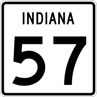
State Road 57 (SR 57) in the U.S. state of Indiana is a north–south, largely two-lane road in the southwestern portion of the state.

State Road 62 (SR 62) in the U.S. state of Indiana is an east–west route that travels 204 miles (328 km) from the Illinois state line in the southwest corner of Indiana to the Louisville, Kentucky area, then northeast toward the Cincinnati, Ohio area.

State Road 66 is an east–west highway in six counties in the southernmost portion of the U.S. state of Indiana.

State Road 68 in the U.S. State of Indiana is a 53-mile (85 km) route in Gibson, Posey, Spencer and Warrick counties.

State Road 161 in the U.S. State of Indiana is a rural undivided north–south highway in the southwestern portion of the state.

State Road 244 is a State Road in the eastern section of the state of Indiana. Running for about 22.3 miles (35.9 km) in a general east–west direction, connecting rural portions of Shelby, Rush, and Franklin counties. SR 244 was originally introduced in 1932 routed between SR 29 and U.S. Route 52. The road was paved in the late 1960s
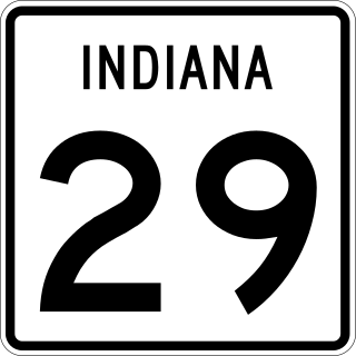
State Road 29 is a north–south road in north-central Indiana.

State Road 662 (SR 662) is a short east–west route that runs from Evansville toward Newburgh.
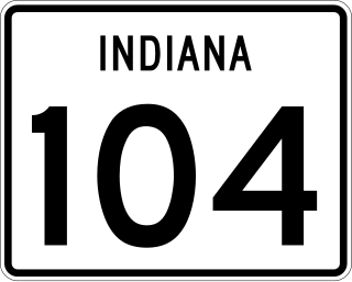
State Road 104 (SR 104) is a state road in the northern section of the US state of Indiana. It serves as a connector between SR 4 near Stillwell to U.S. Route 6 in Walkerton. The highway runs parallel to a rail line in a northwest-to-southeast direction in rural LaPorte and St. Joseph counties. SR 104 dates back to the 1940s.
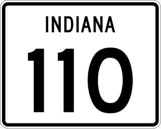
State Road 110 is an east–west state road, that consists of two discontinuous sections, in the northern part of the US state of Indiana. The western portion of SR 110 is just under 2.5 miles (4.0 km) long and connects SR 10 with U.S. Route 231 in Jasper County. The eastern portion runs along the border between Fulton County and Marshall County; it is approximately 16.4 miles (26.4 km) long and connects SR 17 at the west end with SR 25 at the east end. Neither segment passes through any towns or cities and passes through mostly rural agriculture land.

State Road 142 is a State Road in the western section of the state of Indiana. Running for about 10.19 miles (16.40 km) in a general east–west direction, connecting rural portions of Morgan County, passing through Wilbur. The entire road is two-lanes and passes through farmland and wooded areas. SR 142 was originally introduced in 1934 to connect Eminence to SR 39. The road was paved by the late 1960s.

State Road 143 is a State Road in the northern section of the U.S. state of Indiana. Running for about 1.5 miles (2.4 km) in a general east–west direction, connecting Jasper-Pulaski Fish and Wildlife Area to U.S. Route 421. SR 143 was originally introduced in the late 1930s or early 1940 routed along its modern routing. The road was paved in the 1970s.
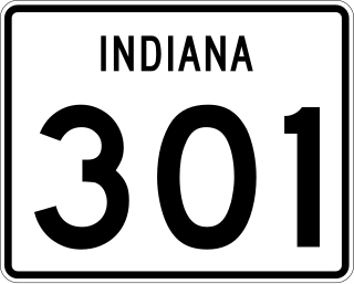
State Road 301 in the U.S. state of Indiana is a short north–south route in Wells County in the northeastern part of the state.

State Road 340 is a State Road in the west-central part of the U.S. state of Indiana. Running for just over 5.5 miles (8.9 km) in a general east–west direction and completely with in Clay County, along the Historic National Road. Both ends of SR 340 are at intersections with U.S. Highway 40, with the western end in Cloverland and the eastern end in Brazil. SR 340 was originally introduced in the late 1930s or early 1940s routed north of its modern routing. The road was moved to its modern routing in the 1960s.

State Road 524 is the designation of a state road in the northern section of the US state of Indiana that runs between U.S. Route 24 and Salamonie River State Forest, via Lagro. SR 524 travels some of its route as an east–west and the rest as a north–south road. The highway was first designated in late 1930s or early 1940s running south out of Largo. An extension occurred during the early 2000s that added the east–west segment, when US 24 was moved to its modern route in the area.
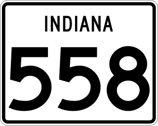
State Road 558 is a State Road in the southwestern section of the U.S. state of Indiana. Running for about 1.1 miles (1.8 km) in a general east–west direction, connecting the Naval Surface Warfare Center Crane Division with U.S. Route 231, passing through the town of Crane. SR 558 was originally introduced in the 1950s to connect the Crane Naval Depot, now Naval Surface Warfare Center Crane Division with SR 45, now US 231.

State Road 650 is a State Road in the southern section of the state of Indiana. Running for about 0.9 miles (1.4 km) in a general northwest-southeast direction, connecting U.S. Route 50 and a USG Corporation plant. The highway is entirely within Martin County and its eastern end is located at the plant's entrance. SR 650 was originally introduced in the mid-1950s.

Interstate 64 (I-64) in the US state of Indiana is a major east–west highway providing access between Illinois and Kentucky. It passes through southern Indiana as part of its connection between the two metropolitan areas of St Louis, Missouri, and Louisville, Kentucky.

