
Haller Lake is a small lake and neighborhood in north central Seattle, Washington, named for Theodore N. Haller, who platted the neighborhood in 1905. His father, Granville O. Haller, was one of Seattle's early settlers, an army officer who amassed a large estate in the region.

Salmon Bay is a portion of the Lake Washington Ship Canal, which passes through the city of Seattle, linking Lake Washington to Puget Sound, lying west of the Fremont Cut. It is the westernmost section of the canal and empties into Puget Sound's Shilshole Bay. Because of the Hiram M. Chittenden Locks, the smaller, western half of the bay is salt water, and the eastern half is fresh water.

Shoreline Community College is a public community college in Shoreline, Washington. It is located in a residential area east of Shoreview Park. The college contains over 80 acres and continuously serves 12,000 full- and part-time students. It opened in 1964 and offers degree and certificate programs.
Raft Island is a private island and CDP located near the Pierce County community of Rosedale, Washington, United States. Gig Harbor, Washington is the nearest incorporated town, although unincorporated Artondale is much closer. The island features approximately 200 homes on 160 acres. All of these homes are served through the Gig Harbor post office.
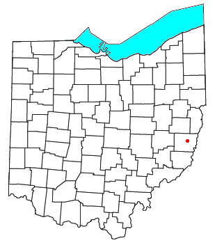
Warnock is an unincorporated community in northern Smith Township, Belmont County, Ohio, United States. It has a post office with the ZIP code 43967. It lies along State Route 9.
Grand Rapids is an unincorporated community in LaMoure County, in the U.S. state of North Dakota.
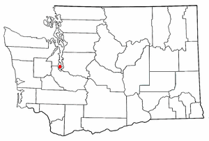
Cromwell is an unincorporated community in Pierce County, in the U.S. state of Washington.
Crosby is an unincorporated community in Kitsap County, in the U.S. state of Washington.
Glencove is an unincorporated community in Pierce County, in the U.S. state of Washington.
Glendale is an unincorporated community in Island County, in the U.S. state of Washington. It is located on the southeast coast of Whidbey Island, and should not be confused with the neighborhood in Seattle.
Harper is an unincorporated community in Kitsap County, in the U.S. state of Washington. It is part of the Southworth census-designated place.
Lisabeula is an unincorporated community in King County, Washington, United States.
Magnolia Beach is an unincorporated community in King County, in the U.S. state of Washington.
Nellita is an unincorporated community in Kitsap County, in the U.S. state of Washington.
Raeco is an unincorporated community in King County, in the U.S. state of Washington.
Waterman is an unincorporated community in Kitsap County, in the U.S. state of Washington.
White is an unincorporated community in King County, in the U.S. state of Washington.
Zadock is an unincorporated community in northern Stoddard County, in the U.S. state of Missouri. The community lies north of the Castor River, approximately seven miles north of Bloomfield, in the Township of Pike. It is elevated at 427 feet and is located in the Central Time Zone.
Puget is an unincorporated community in Thurston County, in the U.S. state of Washington. The area is located on the Johnson Point peninsula overlooking Nisqually Reach.
Rignall is an unincorporated community in Thurston County, in the U.S. state of Washington. It is located on the Steamboat Island peninsula, overlooking the confluence of the Eld Inlet and Budd Inlet.

