Related Research Articles

Paris is an unincorporated community in northwestern Paris Township, Stark County, Ohio. It has a post office with the ZIP code 44669. It lies along State Route 172 between East Canton and Lisbon. The community is part of the Canton–Massillon Metropolitan Statistical Area.

Maximo is an unincorporated community in northwestern Washington Township, Stark County, Ohio, United States. It has a post office with the ZIP code 44650. The community is part of the Canton–Massillon Metropolitan Statistical Area.

Avondale is an unincorporated community in southwestern Plain Township, Stark County, Ohio, United States. Located just northwest of Canton and north of Meyers Lake, its altitude is 1,135 feet (346 m).

Cairo is an unincorporated community that lies upon the border of Lake Township and Plain Township within Stark County, Ohio, United States. Its altitude is 1,145 feet (349 m). The community is part of the Canton–Massillon Metropolitan Statistical Area.
New Franklin is an unincorporated community in northeastern Paris Township, Stark County, Ohio, United States, lying at the intersection of State Routes 172 and 183. The community is part of the Canton–Massillon Metropolitan Statistical Area.
Waco is an unincorporated community in central Canton Township, Stark County, Ohio, United States. It lies along State Route 43 just southeast of the Canton city line. Waco's altitude is 1,070 feet (326 m) The community is part of the Canton–Massillon Metropolitan Statistical Area.
Opossum Run is a stream in the U.S. state of Ohio.
Macedon is an unincorporated community in Mercer County, in the U.S. state of Ohio.
Wolf Creek is an unincorporated community in Washington County, in the U.S. state of Ohio.
Crystal Springs is an unincorporated community in Stark County, in the U.S. state of Ohio.
East Greenville is an unincorporated community in Stark County, in the U.S. state of Ohio.
Freeburg is an unincorporated community in Washington Township, Stark County, in the U.S. state of Ohio.
Justus is an unincorporated community in Stark County, in the U.S. state of Ohio.
Mapleton is an unincorporated community in Stark County, in the U.S. state of Ohio.
New Baltimore is an unincorporated community in Stark County, in the U.S. state of Ohio.
Newman is an unincorporated community in Stark County, in the U.S. state of Ohio.
Pigeon Run is an unincorporated community in Stark County, in the U.S. state of Ohio.
Sippo is an unincorporated community in Stark County, in the U.S. state of Ohio.
Belfort is an unincorporated community in Stark County, in the U.S. state of Ohio.
Harrisburg is an unincorporated community in Stark County, in the U.S. state of Ohio.
References
- ↑ U.S. Geological Survey Geographic Names Information System: McDonaldsville, Ohio
- ↑ Perrin, William Henry (1881). History of Stark County: With an Outline Sketch of Ohio. Baskin & Battey. p. 546.
- ↑ Lehman, John H. (1916). A Standard History of Stark County, Ohio: An Authentic Narrative of the Past, with Particular Attention to the Modern Era in the Commercial, Industrial, Civic and Social Development. Lewis Publishing Company. p. 73.
- ↑ "Stark County". Jim Forte Postal History. Retrieved January 21, 2016.
Municipalities and communities of Stark County, Ohio, United States | ||
|---|---|---|
| Cities |  | |
| Villages | ||
| Townships | ||
| CDPs | ||
| Unincorporated communities | ||
| Footnotes | ‡This populated place also has portions in an adjacent county or counties | |
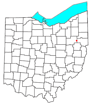
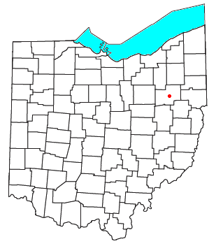
40°53′10″N81°28′46″W / 40.88611°N 81.47944°W
| | This Stark County, Ohio state location article is a stub. You can help Wikipedia by expanding it. |