Related Research Articles

A ring road is a road or a series of connected roads encircling a town, city, or country. The most common purpose of a ring road is to assist in reducing traffic volumes in the urban centre, such as by offering an alternate route around the city for drivers who do not need to stop in the city core. Ring roads can also serve to connect suburbs to each other, allowing efficient travel between them.
The N21 is a proposed national route in South Africa in Cape Town. It mainly forms the Peninsula Expressway ring road. Once complete, it will link the northern suburbs on the Atlantic seaboard with the southern suburbs on False Bay (Muizenberg). The R300 Freeway is entirely part of the proposed route.
A routenumber, designation or abbreviation is an identifying numeric designation assigned by a highway authority to a particular stretch of roadway to distinguish it from other routes and, in many cases, also to indicate its classification, general geographical location and/or orientation. The numbers chosen may be used solely for internal administrative purposes; however, in most cases they are also displayed on roadside signage and indicated on maps.
Houghton Estate, often simply called Houghton is an affluent suburb of Johannesburg, South Africa, north-east of the city centre.

Kraaifontein is a town in the Western Cape province of South Africa. Organisationally and administratively it is included in the City of Cape Town Metropolitan Municipality as a Northern Suburb. The name originated from large number of crows that nest in the region.

The N12 is a national route in South Africa which runs from George through Beaufort West, Kimberley, Klerksdorp and Johannesburg to eMalahleni.

The N6 is a national route in South Africa that connects East London with Bloemfontein, via Komani and Maletswai. It runs roughly from north to south, connecting the N1 with the N2.
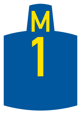
Metropolitan Routes in Johannesburg, also called Metro Roads or Metro Routes are designated with the letter M, and are usually major routes around Johannesburg and some areas declared part of Greater Johannesburg.
Port Elizabeth, like most South African cities, uses Metropolitan or "M" routes for important intra-city routes, a layer below National (N) roads and Regional (R) roads. Each city's M roads are independently numbered.
Buffalo City, like most South African cities, uses Metropolitan or "M" routes for important intra-city routes, a layer below National (N) roads and Regional (R) roads. Each city's M roads are independently numbered.
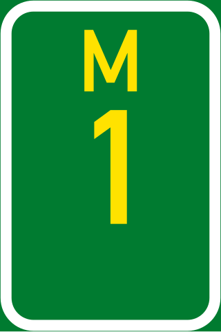
The City of Tshwane like most South African metropolitan areas uses Metropolitan or "M" routes for important intra-city routes, a layer below National (N) roads and Regional (R) roads. Each city's M roads are independently numbered.

In South Africa some roads are designated as numbered routes to help with navigation. There is a nationwide numbering scheme consisting of national, provincial and regional routes, and within various urban areas there are schemes of metropolitan route numbering.
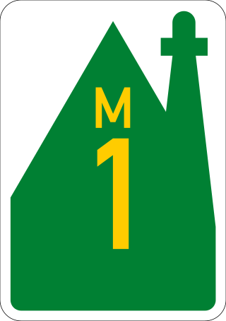
The City of Cape Town like most South African metropolitan areas, uses Metropolitan or "M" routes for important intra-city routes, a layer below National (N) roads and Regional (R) roads. Each city's M roads are independently numbered.

Ethekwini, like most South African metropolitan areas, uses Metropolitan or "M" routes for important intra-city routes, a layer below National (N) roads and Regional (R) roads. Each city's M roads are independently numbered.
Pietermaritzburg, like most South African cities, uses Metropolitan or "M" routes for important intra-city routes, a layer below National (N) roads and Regional (R) roads. Each city's M roads are independently numbered.

The M4 is a long metropolitan route in the City of Cape Town Metropolitan Municipality in South Africa. It connects the Cape Town CBD with the Cape Peninsula via Wynberg, Muizenberg and Fish Hoek. Originally, it was the main route connecting the Cape Town CBD with the Southern Suburbs. From the CBD to Kirstenhof, it is parallel to the M3 Freeway.

The M9 is a long metropolitan route in the City of Cape Town, South Africa. It connects Sir Lowry's Pass Village with Wynberg via Somerset West, Firgrove, Macassar, Khayelitsha and Nyanga.
The M10 is a metropolitan route in the City of Cape Town Metropolitan Municipality, South Africa. It connects the town of Bellville in the Northern Suburbs with Philippi on the Cape Flats.
Olifantsfontein, also known as Clayville, is a small town on the East Rand in the Gauteng Province of South Africa. It is located at the north-western corner of the City of Ekurhuleni Metropolitan Municipality, just north of the Thembisa township. As of the 2011 Census, the town has a population of 14,526 people.
References
- ↑ "RDDA SOUTH AFRICAN NUMBERED ROUTE DESCRIPTION AND DESTINATION ANALYSIS". NATIONAL DEPARTMENT OF TRANSPORT. May 2012. Retrieved 25 March 2021.
{{cite web}}: CS1 maint: url-status (link)