
State Route 28 (SR 28) is a 16.3-mile (26.2 km) state highway in Douglas County, Carson City, and Washoe County in western Nevada, United States, that runs along the northeastern shore of Lake Tahoe. SR 28 connects U.S. Route 50 (US 50) in Douglas County with California State Route 28 at Crystal Bay. SR 28 has been part of the Nevada scenic byway system since June 1994 and the National Scenic Byway system since September 1996.

State Route 318 is a state highway in eastern Nevada. It is often used as a shortcut for long-distance traffic along U.S. Route 93, bypassing the longer and less direct route U.S. Route 93 follows between Ely and Crystal Springs. The highway was established in the 1930s as State Route 38 and State Route 38A, and was renumbered to SR 318 in 1976. At a total of 110.762 miles (178.254 km), it is the longest state route in Nevada. The road is used for open speed highway races twice a year.

State Route 118 is a state highway in Churchill County, Nevada. It serves the southeast portion of Fallon near northern edge of Naval Air Station Fallon. Prior to 1976, the route was designated as State Route 62.

State Route 221 is a state highway in Elko County, Nevada. The route, concurrent with Interstate 80 Business follows Chestnut Street in the city of Carlin. The highway was once part of the former route of State Route 1 and former U.S. Route 40 (US 40).

State Route 278 is a state highway in Nevada. It runs from U.S. Route 50 near Eureka north to Interstate 80 (I-80) in Carlin.

State Route 354 (SR 354) is a 6.9-mile-long (11.1 km), arc-shaped state highway located entirely within Harris County in the west-central part of the U.S. state of Georgia. It starts out in a north-northeasterly direction and curves to a westerly direction. This highway was built in the early 1960s, on the same alignment as it travels today.
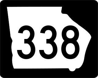
State Route 338 (SR 338) is a 22.3-mile-long (35.9 km) state highway that travels south-to-north in a sideways V-shape completely within Laurens County in the central part of the U.S. state of Georgia. It connects Cadwell with the Dublin area, via Dudley.

State Route 335 (SR 335) is a 8.4-mile-long (13.5 km) east–west state highway located entirely within Jackson County in the northeastern part of the U.S. state of Georgia. It connects Jefferson to Nicholson.
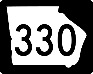
State Route 330 (SR 330) is a 6.1-mile-long (9.8 km) state highway in the northeastern part of the U.S. state of Georgia. It travels through rural areas of Barrow and Jackson counties.
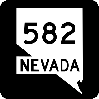
State Route 582 (SR 582) is a major 15.392-mile-long (24.771 km) highway in the Las Vegas Valley. The highway is the former route of U.S. Route 93 (US 93) and US 95 before they were moved to the current freeway alignment shared with Interstate 11 (I-11) and Interstate 515 (I-515). Known primarily as Boulder Highway, the route connects Downtown Las Vegas with Henderson and Boulder City to the southeast.

State Route 564 is an east–west highway in Clark County, Nevada, in the southeast portion of the Las Vegas Valley. The route travels through the city of Henderson, traveling from the junction of Interstate 215 (I-215) and I-11 south and I-515 north, also part of U.S. Route 93 and US 95, to Lake Las Vegas, ending near Lake Mead. The route was designated in 2002, replacing a portion of SR 146.
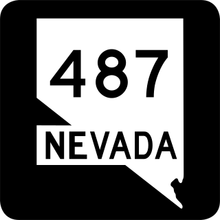
State Route 487 is a north–south state highway in White Pine County, Nevada. The route follows Baker Road from the Utah–Nevada state line southeast of Baker to U.S. Route 6 and U.S. Route 50. The route was previously known as State Route 73 prior to 1976. SR 487 is designated as a Nevada Scenic Byway.

State Route 488 is an east–west state highway in White Pine County, Nevada. The route covers Lehman Caves Road connecting the town of Baker to Great Basin National Park. The route existed as State Route 74 prior to 1976. SR 488 has been designated a Nevada Scenic Byway.
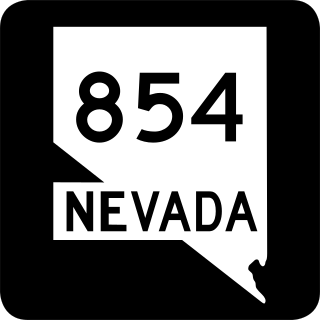
State Route 854 is a state highway in Pershing County, Nevada serving the vicinity of Lovelock. The route comprised a portion of former State Route 48.

State Route 72 is a north–south state highway in the U.S. state of Ohio. Its southern terminus is at US 62 near Highland, and its northern terminus is at SR 334 just north of Springfield. As it travels through Springfield, Ohio, it is known as Limestone Street.

State Route 257 is a 26.19-mile (42.15 km) north - south state highway in the central portion of the U.S. state of Ohio. The highway's southern terminus is in the northwestern Columbus suburb of Dublin at a roundabout intersection with U.S. Route 33 and SR 161. This mainly two-lane highway follows the eastern side of the Scioto River from Dublin to its junction with US 42. After crossing over the river with the U.S. highway, SR 257 parallels the river's western bank. SR 257 has its northern terminus at a T-intersection with SR 47 on the western village limits of Prospect. SR 257 was created in 1926, and extended in 1935 and 1937.

State Route 304 is an east–west state highway in the northeastern portion of Ohio. The western terminus of SR 304 is at a signalized intersection with US 422 in Girard. Its eastern terminus is at the Pennsylvania State Line nearly 3 miles (4.8 km) east of Hubbard, where the highway continues east as Pennsylvania Route 318.

State Route 90 was a short state highway in Nye County, Nevada. Its western terminus was in the ghost town of Rhyolite. It traveled east to its eastern terminus at SR 58. The route was designated in 1960 as an unimproved road to connect to Rhyolite from SR 58. It became graded by 1969, and was removed from the state highway system in 1982.


