
Pennsylvania Route 54 is a state highway which runs for 82 miles (132 km) in eastern Pennsylvania. It runs from U.S. Route 15 (US 15), which is three miles (5 km) west of Montgomery, Lycoming County, in the west, to US 209 in Nesquehoning, Carbon County, in the east.

Pennsylvania Route 34 is a 62-mile-long (100 km) state route located in southern Pennsylvania. The southern terminus of the route is at U.S. Route 15 Business in Gettysburg. The northern terminus is at US 11/US 15 south of Liverpool. PA 34 heads north from Gettysburg through farmland in northern Adams County, passing through Biglerville. The route crosses South Mountain into Cumberland County and reaches Mount Holly Springs, where it intersects PA 94. PA 34 heads north into the agricultural Cumberland Valley and heads north to Carlisle, where it has an interchange with Interstate 81 (I-81) in the southern part of town and intersects US 11/PA 74/PA 641 in the downtown area. The route continues north through more rural land and crosses Blue Mountain into Perry County, where it continues through the Ridge-and-Valley Appalachians, winding north to New Bloomfield. From here, PA 34 continues northeast to Newport, where it crosses the Juniata River and reaches an interchange with US 22/US 322, before heading to its terminus at US 11/US 15 near the Susquehanna River.
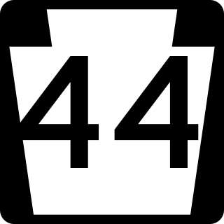
Pennsylvania Route 44 is a 149.24 mi (240.18 km)-long state highway in the U.S. state of Pennsylvania. The route, which is signed north-south, is designated from Interstate 80 (I-80) and PA 42 in Buckhorn northwest to the New York state line near New York State Route 417 in Ceres Township.

Pennsylvania Route 150 is a 41.1-mile-long (66.1 km) highway in Central Pennsylvania. Its southern terminus is at PA 26 in Dale Summit, Pennsylvania near State College, at the location of the Nittany Mall. Its northern terminus is at U.S. Route 220 in Avis.
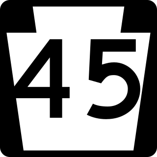
Pennsylvania Route 45 is an 86-mile-long (138 km) state highway located in central Pennsylvania, United States. PA 45 is called the Purple Heart Highway. The western terminus of the route is at PA 453 in Morris Township near the community of Water Street. The eastern terminus is at PA 642 west of the small town of Mooresburg.

Pennsylvania Route 64 is a 21.3-mile-long (34.3 km) north–south state route located in central Pennsylvania. At its southern terminus in Spring Township, PA 64 continues north from where Pennsylvania Route 26 turns to join Interstate 99 and U.S. Route 220. The northern terminus is at Pennsylvania Route 150 in Mill Hall. During its run, PA 64 carries the names Nittany Valley Drive and Water Street.

Pennsylvania Route 443 is an 80-mile-long (130 km) east–west state highway in the US state of Pennsylvania. The western terminus is at an intersection with State Route 3009 at North Front Street on the east bank of the Susquehanna River in the community of Fort Hunter in Middle Paxton Township, just west of an interchange with the U.S. Route 22 /US 322 freeway. The eastern terminus is at US 209 in Lehighton. The route runs through rural areas in the Ridge-and-Valley Appalachians in Dauphin, Lebanon, Schuylkill, and Carbon counties, serving Fort Indiantown Gap, Pine Grove, Schuylkill Haven, Orwigsburg, New Ringgold, and South Tamaqua. PA 443 intersects several major roads, including US 22/US 322 near its western terminus, PA 72 in Union Township, Interstate 81 (I-81) near Pine Grove, PA 61 between Schuylkill Haven and Orwigsburg, and PA 309 in South Tamaqua.

Pennsylvania Route 147 is a north–south route that runs for 58.3 miles (93.8 km) along the east shore of the Susquehanna River in central Pennsylvania, United States. The southern terminus is at an interchange with U.S. Route 22 /US 322 in Reed Township. The northern terminus is at an interchange with Interstate 80 (I-80) and I-180 in Turbot Township.
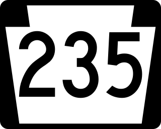
Pennsylvania Route 235 (PA 235) is a 43-mile (69 km) state highway in Pennsylvania. PA 235's southern terminus is at U.S. Route 11 (US 11)/US 15 in Liverpool, and the northern terminus is at PA 45 near Laurelton.

Pennsylvania Route 550 is a 36 mile (58 km) long state highway in Pennsylvania. The southern terminus of the route is at PA 453 and PA 45 Truck east of Tyrone. The northern terminus is at PA 64 in Zion.
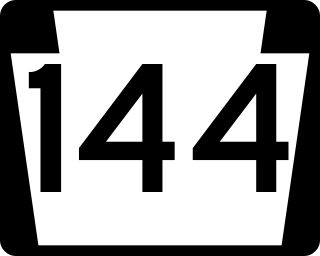
Pennsylvania Route 144 is a state highway located in the U.S. state of Pennsylvania, covering a distance of about 109 miles (175 km). The southern terminus is located near an interchange with U.S. Route 322 (US 322) at State Route 2015 in Potter Township while the northern terminus is located at US 6 in Galeton. Between Snow Shoe and Renovo, PA 144 is known as the High Plateau Scenic Byway, a Pennsylvania Scenic Byway.
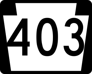
Pennsylvania Route 403 is a north–south state route in Somerset, Cambria and Indiana counties of Pennsylvania. The southern terminus is at U.S. Route 30 (US 30) in the hamlet of Kantner in Quemahoning Township. The northern terminus is at US 119 near Marion Center.

Pennsylvania Route 255 is a 39.7-mile-long (63.9 km) state highway located in Clearfield and Elk counties in Pennsylvania. The southern terminus is at U.S. Route 219 in DuBois. The northern terminus is at US 219 in Johnsonburg.

Pennsylvania Route 259 is a 33.4-mile-long (53.8 km) state highway located in Westmoreland and Indiana counties in Pennsylvania. The southern terminus is at U.S. Route 30 west of Ligonier. The northern terminus is at US 422 in Cherryhill Township on the border of Yellow Creek State Park.

Pennsylvania Route 305 is a 29-mile-long (47 km) state highway located in Huntingdon and Mifflin counties in Pennsylvania. The western terminus is at U.S. Route 22 in Alexandria. The eastern terminus is at PA 655 in Belleville. The route crosses the Stone Mountain ridge following a valley along a fault line at 40°37′46″N77°45′31″W near Greenwood Furnace State Park.

Pennsylvania Route 445 is a 12-mile-long (19 km) state highway located in Centre County, Pennsylvania. The southern terminus is at PA 45 in Millheim. The northern terminus is at PA 64 in Nittany.
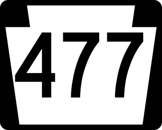
Pennsylvania Route 477 is a 17.7-mile-long (28.5 km) state highway located in Centre and Clinton Counties in Pennsylvania. The southern terminus is at PA 192 in Miles Township. The northern terminus is at PA 64 near Mill Hall.
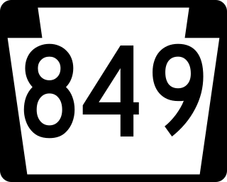
Pennsylvania Route 849 is a 24.8-mile-long (39.9 km) state highway located in Perry and Dauphin counties in Pennsylvania. The western terminus is at PA 74 in Saville Township, Perry County. The eastern terminus is at U.S. Route 22 /US 322 in Reed Township, Dauphin County, near Duncannon. PA 849 winds east from PA 74 through farms and woods to Newport, where it forms a concurrency with PA 34. From Newport, the route heads southeast through more rural land to Duncannon, where it turns east and crosses the Juniata River to reach its terminus at US 22/US 322 just north of the Susquehanna River.

Pennsylvania Route 880 is a 25-mile-long (40 km) state highway located in Centre, Clinton, and Lycoming Counties in Pennsylvania. The southern terminus is at PA 192 in Miles Township. The northern terminus is at PA 44 in Limestone Township Though it does not have a direct junction with Interstate 80 (I-80), it underpasses the highway in Carroll and drivers can enter I-80 one mile (1.6 km) east by turning left onto East Valley Road. South of this intersection, PA 880 is known as East Valley Road until Loganton, where it becomes Main Street. South of Loganton it continues as West Valley Road until the Centre County line. From there until its southern terminus it serves as Broad Street in Rebersburg. North of the East Valley Road intersection, PA 880 becomes Rauchtown Road until entering Lycoming County.

Pennsylvania Route 915 is a 22-mile-long (35 km) state highway located in Fulton and Bedford Counties in Pennsylvania. The southern terminus is at Interstate 70 (I-70) in Brush Creek Township. The northern terminus is at PA 26 in Hopewell.


