Abhona | |
|---|---|
Town | |
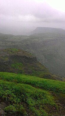
 Abhona view form southeast (Malhari Temple) | |
 Abhona | |
| Coordinates: 20°28′40″N73°55′30″E / 20.47778°N 73.92500°E | |
| Country | India |
| State | Maharashtra |
| District | Nashik |
| Area | |
• Total | 4 km2 (2 sq mi) |
| Elevation | 760 m (2,490 ft) |
| Population (2021) | |
• Total | 15,000+ |
| Languages | |
| • Official | Marathi |
| Time zone | UTC+5:30 (IST) |
| PIN | 423502 |
| Telephone code | +02592 |
| Vehicle registration | MH 41 |
Abhona is a village in Kalwan tehsil of Nashik district in the Indian state of Maharashtra. It belongs to the North Maharashtra region.
Contents