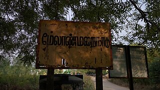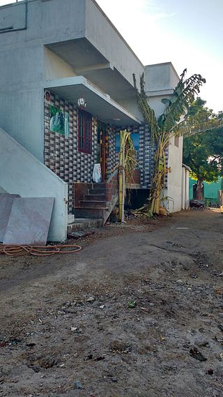
Rajapalayam is a town in the Indian state of Tamil Nadu. It is the largest municipality in the Virudhunagar district. Rajapalayam is located on the Madurai to Quilon National Highway at a distance of 562 km south of the state capital Chennai. The economy is primarily industrial with several mills for spinning and weaving. The town is known for its mango and the Rajapalayam breed of dogs.
Sattur or Saathur is a town in Virudhunagar district in the Indian state of Tamil Nadu. As of 2011, the town had a population of 29,398.

Tirunelveli district is one of the 38 districts of Tamil Nadu state in India. It is the largest district in terms of area with Tirunelveli as its headquarters. The district was formed on 1 September 1790 by the British East India Company and comprised the present Tirunelveli and Thoothukudi, Tenkasi and parts of Virudhunagar and Ramanathapuram district. As of 2011, the undivided district had a population of 30,77,233.

Mamsapuram is a town located in Srivilliputhur Taluk and comes under Srivilliputtur Assembly constituency & Tenkasi Lok Sabha constituency, Virudhunagar District in the Indian State of Tamil Nadu.
Virudhunagar District is a district of Tamil Nadu state in south India. Virudhunagar is the district headquarters of Virudhunagar district. Virudhunagar district was formed by the separation of Old Ramanathapuram District G.O passed on 08,March 1985 & formed in 15,March 1985 into Ramanathapuram District, Sivagangai District and the west part as Virudhunagar District. Virudhunagar District was formerly called Karmavirer Kamarajar District. As of 2011, Virudhunagar district had a population of 1,942,288 with a sex-ratio of 1,007 females for every 1,000 males. Sivakasi is the most populous and largest city in the district.
Killiyoor is a panchayat town in Kanniyakumari district in the Indian state of Tamil Nadu.
Kilpennathur is a Panchayat Town in Tiruvanamalai district in the Indian state of Tamil Nadu. Kilpennathur is one of the taluks of Tiruvannamalai district and an assembly constituency of Tamil Nadu. The MLA of Kilpennathur assembly constituency is DMK party Mr. K. Pichandi. Vettavalam is the most populous town panchayat in this taluk. Kilpennathur is located a 12.25 degrees latitude and 79.224 degrees longitude. Nearest towns are Avalurpet, Vettavalam, Gingee and Tiruvannamalai, and Chennai is about 177 km away.
Kolathupalayam is a panchayat town in Dharapuram taluk of Tirupur District in the Indian state of Tamil Nadu. Kolathupalayam Located 5km From Dharapuram.

Nannilam is a Town and Taluk in Thiruvarur District in the Indian state of Tamil Nadu. It is the headquarters town for Nannilam Taluk.
Natrampalli is a selection grade panchayat town and Taluk in Tirupattur district in the Indian state of Tamil Nadu. The Natrampalli block is a revenue block in the Tirupattur district of Tamil Nadu, India.
Pennagaram is a town in Dharmapuri district in the Indian state of Tamil Nadu. It is the headquarters of Pennagaram taluk (sub-district).
Peraiyur is a panchayat town in Madurai district in the Indian state of Tamil Nadu. It is one of the Revenue blocks of Madurai District. Peraiyur is the headquarters of the peraiyur taluk.
Tittakudi is a Municipality and taluk headquarters in Cuddalore district in the Indian state of Tamil Nadu. Tittakudi itself is the Tittakudi Member of Assembly Constituency. Tittakudi is the reserved Constituency.
Veeravanallur is a selection grade special panchayat town in the Cheranmahadevi taluk of Tirunelveli district in the Indian state of Tamil Nadu.
Alangulam is a town in Tenkasi district, Tamil Nadu, India. It is a Special Grade Town Panchayat and the centre of the Alangulam Taluk in Tenkasi district.

Melanmarainadu or Meelanmaraindu is hamlet in Vembakottai Block in Virudhunagar District of Tamil Nadu State, India. It comes under Appayanaickenpatti Panchayath. In the 2011 census it had 600 households.
Tamil Nadu Cement Corporation Limited (TANCEM) is a state-government undertaking of Government of Tamil Nadu located in the Indian state of Tamil Nadu. It produces cement, AC sheets, hollow blocks, concrete and other building materials.
Karaiyippatti is a town and a municipality in the Madurai district in the Indian state of Tamil Nadu. Karaiyippatti is called Thaikramam. It is the biggest taluk within the Madurai District.

Karisalkalampatti is a village near Sivarakkottai NH7 Main road Thirumangalam[KALLIGUDI ]Taluk in Madurai District of the Indian state of Tamil Nadu. It is located about 9 km from Thirumangalam, 30 km from Madurai, and 520 km from the state capital, Chennai. As of 2011, the village population was about 1,158.

Tenkasi is one of the 38 districts of Tamil Nadu, India, separated from Tirunelveli district on 22 November 2019. The Government of Tamil Nadu announced its creation on 18 July 2019. The district headquarters is at Tenkasi.


